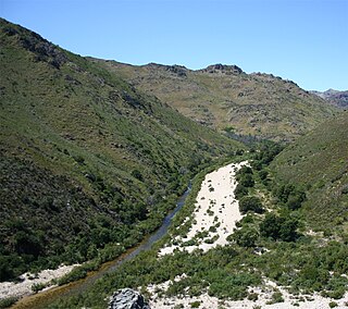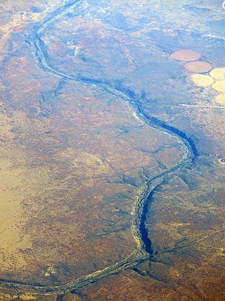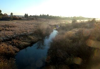
The West Coast District Municipality is a district municipality located in the Western Cape province of South Africa. Its municipality code is DC1. Moorreesburg is the seat of the district. As of 2011, it had a total population of 391,766.

The Olifants River,Lepelle, iBhalule or Obalule is a river in South Africa and Mozambique, a tributary of the Limpopo River. It falls into the Drainage Area B of the Drainage basins of South Africa. The historical area of the Pedi people, Sekhukhuneland, is located between the Olifants River and one of its largest tributaries, the Steelpoort River.

The Olifants River is a river in the northwestern area of the Western Cape Province of South Africa. The upper and main catchment area of the Olifants river is around Ceres and the Cederberg mountains. The Clanwilliam and Bulshoek dams are located on the river and provide water for the towns and farms along the watercourse. The river is approximately 285 km long with a catchment area of 46,220 km2. It flows into the Atlantic Ocean at Papendorp, 250 km north of Cape Town.
Groot River or Grootrivier, meaning "large river", may refer to:

The Koue Bokkeveld, meaning "Cold Buck Shrubland" in Afrikaans, is a mountain range in the Western Cape Province, South Africa. Geologically the range is composed of Cedarberg Sandstone of the Cape System.
Olifants River is a river in the Klein Karoo area of the Western Cape, South Africa.

The Modder River is a river in South Africa. It is a tributary of the Riet River that forms part of the border between the Northern Cape and the Free State provinces. The river's banks were the scenes of heavy fighting in the beginning of the Second Boer War at the Battle of Modder River.

The Riet River is a westward-flowing tributary of the Vaal River in central South Africa. In precolonial times the Riet was known as the Gama-!ab, a !Kora name meaning 'muddy'. Its main tributary is the Modder River and after the confluence the Riet River flows westwards to meet the Vaal.

The wine regions of South Africa were defined under the "Wine of Origin" act of 1973. Mirroring the French Appellation d'origine contrôlée (AOC) system, all South African wines listing a "Wine of Origin" must be composed entirely of grapes from its region. The "Wine of Origins" (WO) program mandates how wine regions of South Africa are defined and can appear on wine labels. While some aspects of the WO are taken from the AOC, the WO is primarily concerned with accuracy in labeling. As a result, the WO does not place adjunct regulations on wine regions such as delineating permitted varieties, trellising methods, irrigation techniques, and crop yields.
Olifants/Doorn WMA, or Olifants/Doorn Water Management Area, Includes the following major rivers: the Olifants River, Doorn River, Krom River, Sand River, and Sout River, and covers the following dams:

Gourits River, sometimes spelled 'Gouritz River', is situated in the Western Cape, South Africa.
The Groot River is a river in the Western Cape Province, South Africa. It is part of the Olifants/Doring River system. It is not to be confused with the Groot River of Eastern Cape or the Groot River of Southern Cape provinces.
The Doring River is a river in the Western Cape Province, South Africa. It is part of the Olifants/Doring River system.

The Bronkhorst Spruit, meaning watercress stream or creek, is a river in the Mpumalanga and Gauteng provinces of South Africa. In the 19th century it as was known as the Kalkoenkransrivier or Rhenosterpoortrivier. It is a tributary of the Wilge River in the Olifants River basin, and it lends its name to the town of Bronkhorstspruit, situated mainly on its right bank.

The Wilge River (iKuthu) is a river in Mpumalanga and Gauteng provinces, South Africa. It is a tributary of the Olifants River.
The Touws River is a river in the Western Cape province of South Africa. It is a tributary of the Groot River, part of the Gourits River basin. A notable resident of the town is Margaret Maritz who, as of 2022, aged 116, was regarded as one of the oldest people in South Africa.

The Kouga River originates near Uniondale, Eastern Cape, South Africa, and flows eastward, where it joins the Groot River to form the Gamtoos just past the Kouga Dam. Its main tributary is the Baviaanskloof River, which joins its left bank before the dam.
Dysselsdorp is a small town that lies between Oudtshoorn and De Rust in the Little Karoo. It was founded as missionary station in 1838 for the emancipated slaves and dispossessed Khoekhoen who lived in the area. Since 1996 Dysselsdorp has been used as a case study for multiple agricultural reform programmes. 12 544 People live in Dysselsdorp and it is a predominantly Afrikaans-speaking coloured community. Majority of Dysselsdorp’s workers are employed in the agricultural industry or work in the nearby town of Oudtshoorn. Dysselsdorp is located in two wards of the Oudtshoorn Local Municipality.

The Keurbooms River is a river in the Western Cape Province in South Africa. The river has its sources south of Uniondale in the Langkloof and flows in a roughly southeastern direction. It passes De Vlugt and the Prince Alfred Pass, flowing along the northern side of the R340 road then it turns south. After crossing the N2 road, it flows into the Indian Ocean through the Keurbooms Estuary, located close to the coastal town of Plettenberg Bay.

The Groot River is a river in the southern area of the Western Cape province of South Africa. It is a right hand tributary of the Gourits River.


