
Oxfordshire is a ceremonial county in South East England. The county is bordered by Northamptonshire and Warwickshire to the north, Buckinghamshire to the east, Berkshire to the south, and Wiltshire and Gloucestershire to the west. The city of Oxford is the largest settlement and county town.

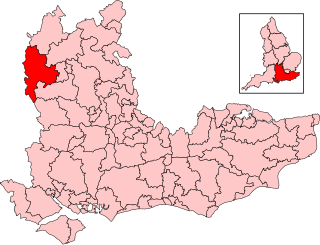
Banbury is a constituency in Oxfordshire created in 1553 and represented in the House of Commons of the UK Parliament. Its current MP is Sean Woodcock of the Labour Party, who gained the seat at the 2024 general election.
Witney is a county constituency in Oxfordshire represented in the House of Commons of the Parliament of the United Kingdom. It elects one Member of Parliament by the first-past-the-post system of election, and was created for the 1983 general election.
Humphry John Moule Bowen was a British botanist and chemist.

Linton Road is a road in North Oxford, England.
Leckford Road is a road in North Oxford, England. It runs between Kingston Road to the west and Woodstock Road to the east.
Pullens Lane is in Headington, east Oxford, England. It is located at the top of Headington Hill, leading north off Headington Road to Jack Straw's Lane and Harberton Mead. The cul-de-sac Pullens Field leads off west from Pullens Lane.

One & Other was a public art project by Antony Gormley, in which 2,400 members of the public occupied the usually vacant fourth plinth in Trafalgar Square, London, for an hour each for 100 days. The project began at 9 am on Monday 6 July 2009, and ran until 14 October. The first person to officially occupy the plinth was Rachel Wardell from Lincolnshire. A documentary art book by Gormley, entitled One and Other, was published in the UK by Jonathan Cape on 14 October 2010. The Wellcome Trust has posted online at its website its series of oral-history interviews of the 2,400 plinthers.
Chalfont Road is a road in Walton Manor, North Oxford, England.

Lathbury Road is a short residential road in north Oxford, England.

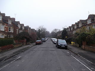
Rawlinson Road is a residential road in North Oxford, England.

Observatory Street is a street in Oxford, England. It links at the eastern end Woodstock Road in central North Oxford and at the western end Walton Street and the Jericho area of Oxford, England.

Abingdon County Hall Museum is a local museum in Abingdon, Oxfordshire, England. The museum is run by Abingdon Town Council and supported by Abingdon Museum Friends, a registered charity. It is a Grade I listed building.

St Bernard's Road is a residential road in North Oxford, England, connecting the southern end of Kingston Road and the northern end of Walton Street, at the junction with Walton Well Road, to the west with Woodstock Road, opposite Bevington Road, to the east.

Fyfield Road is a residential road in North Oxford, England, on the Norham Manor estate.

Crick Road is a road in North Oxford, England, an area characterised by large Victorian Gothic villas.

Longworth Road is a residential road in Walton Manor, North Oxford, England.
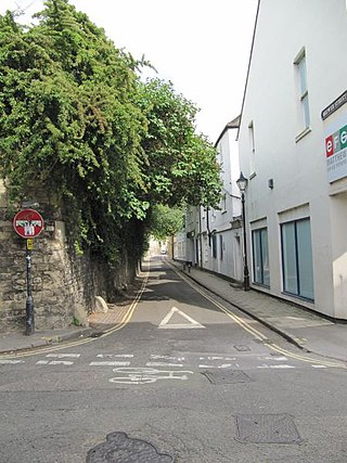
Brewer Street is a historic narrow street in central Oxford, England, south of Carfax. The street runs east–west, connecting with St Aldate's to the east and St Ebbe's Street to the west.

Ferry Hinksey Road is a road in west Oxford, England, leading south from the Botley Road. The road leads to the Osney Mead Industrial Estate to the east, started in 1961. To the east is Osney Ditch.
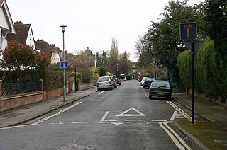
Lonsdale Road is a residential road in Summertown, north Oxford, England.
