Rokupr | |
|---|---|
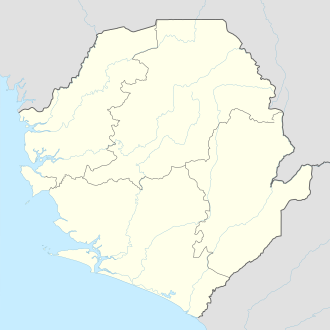 Rokupr Location in Sierra Leone | |
| Coordinates: 09°01′00″N12°57′00″W / 9.01667°N 12.95000°W | |
| Country | |
| Province | Northern Province |
| District | Kambia District |
| Elevation | 62 ft (18 m) |
| Population (2013) | |
• Total | 12,744 |
| Time zone | UTC+0 (GMT) |
Rokupr is a small town in Kambia District in the Northern Province of Sierra Leone. As of 2013 it had an estimated population of 12,744. [1]