Rustadmoen

Last updated
Rustadmoen
Village
Norway Akershus adm location map.svg
Red pog.svg
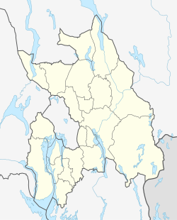
Rustadmoen
Location in Akershus
Coordinates: 60°12′37″N10°57′03″E / 60.2103°N 10.9507°E / 60.2103; 10.9507
Country Norway
Region Østlandet
County Akershus
Municipality Nannestad
Elevation
206 m (676 ft)
Time zone UTC+01:00 (CET)
  Summer (DST) UTC+02:00 (CEST)

Rustadmoen is a village in Nannestad, Akershus, Norway. [1] [2]

Information

Rustadmoen is situated in Akershus, Norway. The village is situated 35 km from Oslo. [3]

References

  1. Who Owns Whom: Continental Europe. Dun & Bradstreet. 2002.
  2. "Detailed weather forecast for Rustadmoen as a table". Yr. 2025-04-11. Retrieved 2025-04-11.
  3. JetCamp.com. "Camping Rustadmoen | All campings and all operators on JetCamp.com". www.jetcamp.com. Retrieved 2025-04-11.