
Kindia is the fourth largest city in Guinea, lying about 85 miles north east of the nation's capital Conakry. Population 181,126.

The Boké Region is located in western Guinea. It is bordered by the countries of Senegal and Guinea-Bissau and the Guinean regions of Kindia and Labé. Its capital is the city of Boké.
Pita is a prefecture located in the Mamou Region of Guinea. The capital is Pita. The prefecture covers an area of 4,320 km.² and has an estimated population of 266,000.

Labé is a prefecture in the Labé Region of Guinea. The capital is Labé. The prefecture covers an area of 3,014 km.² and has an estimated population of 204,000.

Kissidougou is a prefecture located in the Faranah Region of Guinea. The capital is Kissidougou. The prefecture covers an area of 8,300 km.² and has a population of 283,609.

The Labé Region is located in north-central Guinea. It is bordered by the countries of Senegal and Mali and the Guinean regions of Faranah, Kindia, Mamou, and Boké.
Rinbung is a township and seat of Rinbung County in the Shigatse Prefecture of the Tibet Autonomous Region of China.
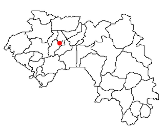
Konindou is a town and sub-prefecture in the Dabola Prefecture in the Faranah Region of Guinea. As of 2014 it had a population of 10,006 people.
Maférinya is a town and sub-prefecture in the Forécariah Prefecture in the Kindia Region of western Guinea.
Bolodou is a town and sub-prefecture in the Guéckédou Prefecture in the Nzérékoré Region of south-western Guinea. The sub-prefecture had a population of 13,643 people in 2014, up from 11,750 in 1996. The town itself holds 94 houses with an unknown total population. The Bolodou Sub-Prefecture is divided into 7 quarters (districts), which are: Beddou, Bolodou Centre, Faindou, Gbandou, Koleadou, Kongoma, and Soumtou. Each of these towns can further be split into sectors, which are the smallest administrative divisions in Guinea. In 2017, a local math teacher set up his own dam to generate hydroelectric power for the town's homes. In December 2017, a 27-meter long bridge was built that connected the previously separate markets in Yèndè Millimou and Guéckédou.
Diari, Guinea is a town and sub-prefecture in the Labé Prefecture in the Labé Region of northern-central Guinea.
Hérico is a town and sub-prefecture in the Lélouma Prefecture in the Labé Region of northern-central Guinea.
Lafou is a town and sub-prefecture in the Lélouma Prefecture in the Labé Region of northern-central Guinea.
Fougou, Guinea is a town and sub-prefecture in the Mali Prefecture in the Labé Region of northern Guinea.
Morodou is a town and sub-prefecture in the Mandiana Prefecture in the Kankan Region of eastern Guinea. As of 2014 it had a population of 28,140 people.
Saladou is a town and sub-prefecture in the Mandiana Prefecture in the Kankan Region of eastern Guinea. As of 2014 it had a population of 18,314 people.
For the river having its source near the town, see Konkouré River
Sangaréah is a town and sub-prefecture in the Pita Prefecture in the Mamou Region of northern-central Guinea.
Tountouroun is a town and sub-prefecture in the Labé Prefecture in the Labé Region of northern-central Guinea.


