This article needs additional citations for verification .(March 2024) |
Senthamangalam | |
|---|---|
 | |
| Nickname: | |
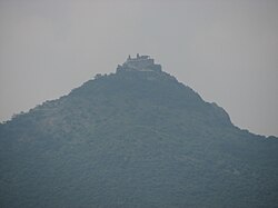
 Senthamangalam Location in Namakkal, Tamil Nadu, India | |
| Coordinates: 11°18′00″N78°14′00″E / 11.3000°N 78.2333°E | |
| Country | |
| State | Tamil Nadu |
| Region | Kongu Nadu |
| District | Namakkal |
| Taluk | Senthamangalam |
| Government | |
| • Type | Municipal Corporation |
| • Body | Senthamangalam City Corporation |
| Elevation | 240 m (790 ft) |
| Population (2001) | |
• Total | 27,800 |
| Languages | |
| • Official | Tamil |
| Time zone | UTC+5:30 (IST) |
| PIN | 637409 |
| Telephone code | 91-4286 |
| Vehicle registration | TN-88, Namakkal South |
Sendamangalam (also transliterated as Senthamangalam) is a municipality and Taluk in Namakkal district in the Indian state of Tamil Nadu

