Hiawatha National Forest is a 894,836-acre (362,127 ha) National Forest in the Upper Peninsula of the state of Michigan in the United States. Commercial logging is conducted in some areas. The United States Forest Service administers this National Forest; it is physically divided into two subunits, commonly called the Eastside 46°14′N84°50′W and Westside 46°08′N86°40′W.

The Iranian Plateau or Persian Plateau is a geological feature spanning parts of Central Asia, South Asia, and West Asia. It makes up part of the Eurasian Plate, and is wedged between the Arabian Plate and the Indian Plate. The plateau is situated between the Zagros Mountains to the west, the Caspian Sea and the Köpet Dag to the north, the Armenian Highlands and the Caucasus Mountains to the northwest, the Strait of Hormuz and the Persian Gulf to the south, and the Indian subcontinent to the east.

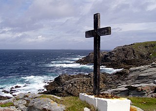
This is a list of the extreme points of Ireland – the points that are furthest north, south, east or west in Ireland. It includes the Republic of Ireland and Northern Ireland.

The Bhima River is a major river in Western India and South India. It flows southeast for 861 kilometres (535 mi) through Maharashtra, Karnataka, and Telangana states, before joining the Krishna River. After the first sixty-five kilometers in a narrow valley through rugged terrain, the banks open up and form a fertile agricultural area which is densely populated.

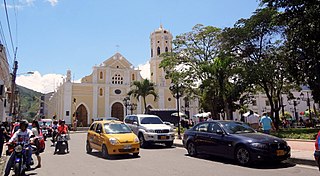
Ocaña is a city and municipality in the Colombian Department of Norte de Santander. Ocaña is the second largest populated center of this department. It played an important role during the Independence of Colombia from the Spanish monarchy.

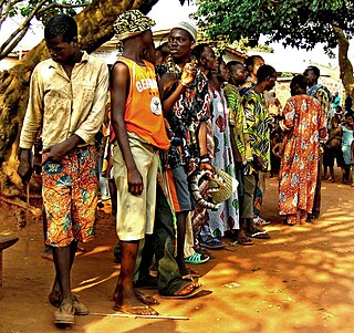
Cové is a city in the Zou Department of Benin. The commune covers an area of 525 square kilometres and as of 2012 had a population of 43,554 people.

The Norwalk River is a river in southwestern Connecticut, United States, approximately 21 miles (34 km) long. The word "Norwalk" comes from the Algonquian word "noyank" meaning "point of land".

Pakpattan District, is a district of Punjab province in Pakistan, Pakpattan city is the district capital.

Dogu'a Tembien is a woreda in Tigray Region, Ethiopia. It is named in part after the former province of Tembien. Nowadays, the mountainous district is part of the Southeastern Tigray Zone. The administrative centre of this woreda is Hagere Selam.
The Nambiyar river runs across Nanguneri taluk in Tirunelveli district in Tamil Nadu state in India. It is a small river which runs for only 45 kilometres (28 mi). The river originates from near Thirukkurungudi village in the Western Ghats, about 1,500 metres (4,900 ft) above sea level, and ends at the Gulf of Mannar.

The Mill River is a 16.3-mile (26.2 km) river in the town of Fairfield, Connecticut. It flows into Long Island Sound at Southport harbor.

Savitri River is one of the five rivers which originate from Mahabaleshwar in Maharashtra state in India. It originates at Savitri point near Mahabaleshwar and flows through the bankot village and directly goes to Arabian sea Raigad district and eventually meets Arabian Sea at Harehareshwar. It passes through rocky and hilly terrain of western ghats till Poladpur and further through the towns of Mahad, Mangaon and Shrivardhan Tehsil (taluka). There are a number of Shiva temples along the banks of river Savitri. Many other small rivers get merged into it at Kapade, Poladpur and Birwadi. Its major tributary is the Kal River which enters from the right (north) near Dasgaon.

The Nura is a major watercourse of northeast-central Kazakhstan. It is 978 kilometres (608 mi) long and drains an area of 60,800 square kilometres (23,500 sq mi).

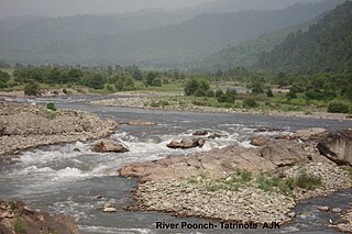
The Poonch River is a tributary of the Jhelum River that flows through Jammu and Kashmir in India, and Jammu and Kashmir in Pakistan.

This is a list of the extreme points of Bhutan.
The Venna River rises in Mahabaleshwar, and is a tributary of the Krishna River in Satara district of western Maharashtra, India. It rises near Mahableshwar, a famous hill station in the Western Ghats. The river meets the Krishna River and this confluence takes place at Sangam Mahuli which is located in eastern part of Satara city. The River Krishna is one of the three largest rivers in southern India.
Sabuana is a village in Khurrianwala, Faisalabad, Pakistan. The majority of residents are Rajputs.


