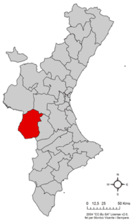
Enguera is a municipality in southwestern province of Valencia, Spain.

The Pre-Pyrenees are the foothills of the Pyrenees.
The Iberian System, is one of the major systems of mountain ranges in Spain. It consists of a vast and complex area of mostly relatively high and rugged mountain chains and massifs located in the central region of the Iberian Peninsula, but reaching almost the Mediterranean coast in the Valencian Country in the east.
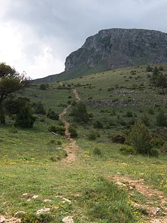
The Serra Mariola Natural Park is a mountain range in the Valencian Community, Spain, one of the most peripheral offsprings of the Baetic System. Most if its territory is included in a natural park founded in 2002, covering an area of 17,257 ha.

Serra de Sant Pere or Serra del Solà is a 5.8 km (4 mi) long mountain range in the Baix Maestrat comarca, Valencian Community, Spain. Its highest point is Tossal de Sant Pere. The slopes are covered in low Mediterranean vegetation

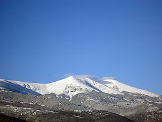
Sierra de Javalambre is a 29 km (18 mi) long mountain range in the Gúdar-Javalambre comarca of Aragon and the Rincón de Ademuz and Serrans comarcas of the Valencian Community, Spain.

Sierra de Orihuela is a 9.4 km (6 mi) long mountain range in the Vega Baja del Segura comarca, Valencian Community, Spain. Its highest point is Peña de Orihuela. This range is named after the town of Orihuela, located at the feet of the mountains. The western end of the range is within the limits of the Santomera municipal term, in the Region of Murcia.
Sierra de Callosa is a 4.6 km (3 mi) long mountain range in the Vega Baja del Segura comarca, Valencian Community, Spain. Its highest point is Águila. This range is named after the town of Callosa de Segura located at the feet of the mountains.
Sierra del Mugrón is a 16.6 km (10 mi) long mountain range located between the Valle de Cofrentes comarca, Valencian Community, and Almansa, Castile-La Mancha, Spain. It is an isolated range between the Iberian System and the Cordillera Prebética. Its highest point is 1,209 m. The northern section of this range is within the Ayora municipal term, while the southern belongs to Almansa.

Serra d'Espadà is a 51 km (32 mi) long mountain range in the Alt Palància, Alt Millars and Plana Baixa comarcas, in the Province of Castellón, Valencian Community, Spain. Its highest point is La Ràpita.

Sierra de Utiel is a 16.45 km (10 mi) long mountain range in the Alt Palància, Alt Millars and Plana Baixa comarcas, Valencian Community, Spain. Its highest point is the 1,306 m high El Remedio. There is often snow in the winter.

Serra Calderona, often referred to as La Calderona is a 49 km (30 mi) long mountain range in the Camp de Túria, Horta Nord and Alt Palància comarcas of the Valencian Community, between the provinces of Castelló and Valencia Spain.
Serra de l'Espadella is an over 4 km (2 mi) long mountain range in the Baix Maestrat comarca, Valencian Community, Spain. Its highest point is Espadella. These mountains are frequently covered in snow in the winter.

Serra de d'Esparreguera or Serra Esparreguera is an over 17 km (11 mi) long mountain range in the Alt Maestrat comarca, Valencian Community, Spain.
Serra d'En Galceran is a mountain range of the Valencian Community, Spain.

La Serra d'en Galceran is a small municipality in the province of Castelló, Valencian Community, Spain. It is located inland surrounded by the mountain range known as Serra d'en Galceran. The town gives its name to the range.
Serra de la Valldàngel or Serra de la Vall d'Àngel,, is a mountain range in the Baix Maestrat comarca, Castellón Province, Valencian Community, Spain.

Valencia or València is a province of Spain, in the central part of the Valencian Community. Of the province's 2,547,986 people (2018), one-third live in the capital, Valencia, which is also the capital of the autonomous community. There are 265 municipalities in the province.

The cuco is a type of construction made with the dry stone technique, in Valencia.