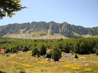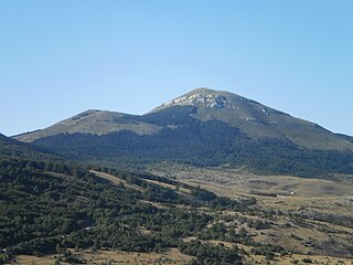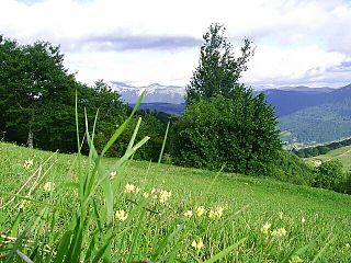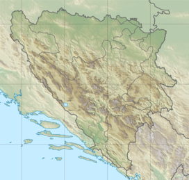
Vran is a mountain in the municipality of Tomislavgrad, Bosnia and Herzegovina. It has an altitude of 2,074 metres (6,804 ft).
Stožer is a mountain in the municipality of Bugojno, Bosnia and Herzegovina. It has an altitude of 1,758 metres (5,768 ft).
Plazenica is a mountain in the municipality of Kupres, Bosnia and Herzegovina. It has an altitude of 1,765 metres (5,791 ft).
Lunjevača is a mountain in the municipality of Drvar, Bosnia and Herzegovina. It has an altitude of 1,707 metres (5,600 ft).

Lebršnik is a mountain in the municipality of Gacko, East Herzegovina, at the border of Bosnia and Herzegovina and Montenegro. It has an altitude of 1,985 metres (6,512 ft).
Živanj is a mountain in the municipality of Gacko, Bosnia and Herzegovina. It has an altitude of 1,696 metres (5,564 ft).
Ujilica is a mountain in the municipality of Grahovo, Bosnia and Herzegovina. It has an altitude of 1,654 metres (5,427 ft). It is the northernmost part of the Dinara Mountain Range
Žep is a mountain in the municipality of Han Pijesak, Bosnia and Herzegovina. It has an altitude of 1,537 metres (5,043 ft).
Šćit is a mountain in the municipality of Kiseljak, Bosnia and Herzegovina. It has an altitude of 1,781 metres (5,843 ft).
Lovnica is a mountain in the municipality of Konjic, Bosnia and Herzegovina. It has an altitude of 1,856 metres (6,089 ft).

Malovan is a mountain in the municipality of Kupres, Bosnia and Herzegovina. It has an altitude of 1,826 metres (5,991 ft).

Ravašnica is a mountain in the municipality of Kupres, Canton 10 of the Federation of Bosnia and Herzegovina, Bosnia and Herzegovina. It has an altitude of 1,565 metres (5,135 ft).
Tušnica is a mountain in the municipality of Livno, Bosnia and Herzegovina. It has an altitude of 1,697 metres (5,568 ft).
Staretina is a mountain in the municipality of Livno, Bosnia and Herzegovina. It has an altitude of 1,633 metres (5,358 ft).

Čabulja is a mountain in the municipality of Mostar, Bosnia and Herzegovina. The highest point Velika Vlajna has an altitude of 1,786 metres (5,860 ft).
Javor is a mountain in the municipality of Nevesinje, Bosnia and Herzegovina. It has an altitude of 1,553 metres (5,095 ft).

Bačina planina is a mountain in the municipality of Prozor-Rama, Bosnia and Herzegovina. It has an altitude of 1,530 metres (5,020 ft).

Ljubuša is a mountain in the municipality of Tomislavgrad, Bosnia and Herzegovina. It has an elevation of 1,797 metres (5,896 ft).
Kovač planina is a mountain in the municipality of Čajniče, Bosnia and Herzegovina. It has an altitude of 1,532 metres (5,026 ft).

Bitovnja is a mountain in the municipality of Kreševo, Bosnia and Herzegovina. It has an altitude of 1,700 metres (5,600 ft).


