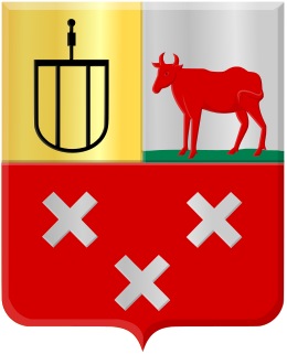
Cranendonck is a municipality in the southern Netherlands. Though located in North Brabant near Eindhoven, the spoken dialect is Budels, rather than Kempenlands.

Halderberge is a municipality in the southern Netherlands.

Son en Breugel is a municipality in the southern Netherlands just outside Eindhoven. The municipality covers an area of 26.51 km2 (10.24 sq mi) of which 0.56 km2 (0.22 sq mi) is water. It had a population of 16,904 in 2019. Son en Breugel used to be two different villages: 'Son' and 'Breugel', with the stream the Dommel separating the two villages. Son en Breugel also borders the following larger municipalities: Eindhoven, Meierijstad, Nuenen, Gerwen en Nederwetten, and Best. The spoken language is North Meierijs.

The Flemish Region, usually simply referred to as Flanders, is one of the three regions of Belgium—alongside the Walloon Region and the Brussels-Capital Region. It occupies the northern part of Belgium and covers an area of 13,625 km2 (5,261 sq mi). It is one of the most densely populated regions of Europe with around 490/km2 (1,300/sq mi).

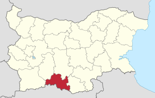
Smolyan Province is a province in Southern-central Bulgaria, located in the Rhodope Mountains, neighbouring Greece to the south. It is named after its administrative and industrial centre — the city of Smolyan. The province embraces a territory of 3,192.8 km2 (1,232.7 sq mi). that is divided into 10 municipalities with a total population of 124,795 inhabitants, as of December 2009.

Haifa District is an administrative district surrounding the city of Haifa, Israel. The district is one of the seven administrative districts of Israel, and its capital is Haifa. The district land area is 864 km2 (299.3 mi2).

Zouteveen is a neighbourhood in the municipality Midden-Delfland in the province South Holland in the Netherlands. It is located between Vlaardingen and Delft, about 3 km south of the town of Schipluiden. There are two hamlets in this area: Negenhuizen and De Kapel.

Solukhumbu District (Nepali: सोलुखुम्बु जिल्ला[solukʰumbu], Sherpa: ཤར་ཁུམ་བུ་རྫོང་།, Wylie: shar khum bu dzong) is one of 14 districts of Province No. 1 of eastern Nepal. As the name suggests, it consists of the subregions Solu and Khumbu.

Sterksel is a village in the southern Netherlands, near Eindhoven. It lies within the municipality Heeze-Leende. It's the smallest village of three in the municipality. The spoken language is "Heeze-en-Leendes", a distinct dialect within the East Brabantian dialect group, quite similar to colloquial Dutch.

Gastel is a village in the Dutch province of North Brabant. It is located in the municipality of Cranendonck. In 2020, the village had 744 inhabitants.

Leende is a village in the Dutch province of North Brabant. It is located in the municipality of Heeze-Leende, approximately 12 km southeast of Eindhoven.

Maarheeze is a village in the Dutch province of North Brabant. It is located in the municipality of Cranendonck, about 15 km southeast of Eindhoven, near the Belgian and the German borders.

Nieuw-Ginneken was a municipality in the Dutch province of North Brabant, located southeast of the city of Breda. It was created in 1942 from part of the municipality of Ginneken en Bavel, and existed until 1997 when its parts north of the A58 motorway merged with Breda, and the parts south of the motorway, containing the villages of Strijbeek, Galder and some outer parts of Ulvenhout merged with Alphen-Chaam.

Oud- en Nieuw-Gastel was a municipality in the Dutch province of North Brabant. It covered the villages of Oud Gastel, located 7 km north of Roosendaal, and Stampersgat.
Soerendonk en Sterksel was a municipality in the Dutch province of North Brabant. It consisted of two parts, one containing the village Soerendonk and one containing Sterksel. The two parts were separated by the municipalities of Maarheeze and Leende.

Millanes is a municipality located in the province of Cáceres, Extremadura, Spain. According to the 2006 census (INE), the municipality has a population of 246 inhabitants.
Heikant was a hamlet in the municipality of Cranendonck, in the Dutch province of North Brabant. It is now a part of the village of Gastel.
Laar is a hamlet in the Dutch province of North Brabant. It is located in the municipality of Cranendonck, 1 km southwest of the town of Maarheeze.

Oud Gastel is a village situated in the municipality of Halderberge, in the north-west of the North Brabant province in the Netherlands.

Soerendonk is a village in the Dutch province of North Brabant. It is located in the municipality of Cranendonck. The former Cranendonck Castle used to be located in the village. It is located about 17 kilometres (11 mi) south-south-east of Eindhoven.


