This article needs additional citations for verification . (July 2016) (Learn how and when to remove this template message) |
The St Giles's Roundhouse was a small roundhouse or prison, mainly used to temporarily hold suspected criminals.
A village lock-up is a historic building that was once used for the temporary detention of people in rural parts of England and Wales. They were often used for the confinement of drunks who were usually released the next day or to hold people being brought before the local magistrate. A typical village lock-up is a small structure with a single door and a narrow slit window or opening. Most lock-ups feature a dome or spire shaped roof and are commonly built from brick, large stones or timber.
A prison, also known as a correctional facility, jail, gaol, penitentiary, detention center, remand center, or internment facility is a facility in which inmates are forcibly confined and denied a variety of freedoms under the authority of the state. Prisons are most commonly used within a criminal justice system: people charged with crimes may be imprisoned until their trial; those pleading or being found guilty of crimes at trial may be sentenced to a specified period of imprisonment.
It was located in the St Giles area of present-day central London, between Charing Cross Road and Holborn, which - during the 17th and 18th centuries - was a 'rookery' notorious for its thieves and other criminals.
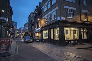
St Giles is a district of London, at the southern tip of the London Borough of Camden. It gets its name from the parish church of St Giles in the Fields. The combined parishes of St Giles in the Fields and St George Bloomsbury formed the St Giles District of the Metropolis from 1855 to 1900. It is the location of the church of St Giles in the Fields, the Phoenix Garden and St Giles Circus. With Bloomsbury and Holborn, it is part of the "Midtown" business improvement district.
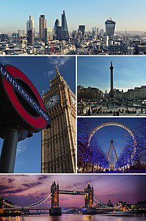
London is the capital and largest city of both England and the United Kingdom. Standing on the River Thames in the south-east of England, at the head of its 50-mile (80 km) estuary leading to the North Sea, London has been a major settlement for two millennia. Londinium was founded by the Romans. The City of London, London's ancient core − an area of just 1.12 square miles (2.9 km2) and colloquially known as the Square Mile − retains boundaries that follow closely its medieval limits. The City of Westminster is also an Inner London borough holding city status. Greater London is governed by the Mayor of London and the London Assembly.
Charing Cross Road is a street in central London running immediately north of St Martin-in-the-Fields to St Giles Circus and then becomes Tottenham Court Road. It is so called because it leads from the north in the direction of Charing Cross at the south side of Trafalgar Square, which it connects via St Martin's Place and the motorised east side of the square.
The Roundhouse was notable for being one of the prisons from which notorious thief Jack Sheppard escaped, in 1724. The building was converted into almshouses in around 1780. [1]
Jack Sheppard was a notorious English thief and jail-breaker of early 18th-century London. Born into a poor family, he was apprenticed as a carpenter but took to theft and burglary in 1723, with little more than a year of his training to complete. He was arrested and imprisoned five times in 1724 but escaped four times from prison, making him a notorious public figure, and wildly popular with the poorer classes. Ultimately, he was caught, convicted, and hanged at Tyburn, ending his brief criminal career after less than two years. The inability of the notorious "Thief-Taker General" Jonathan Wild to control Sheppard, and injuries suffered by Wild at the hands of Sheppard's colleague, Joseph "Blueskin" Blake, led to Wild's downfall.
An almshouse is charitable housing provided to people in a particular community. They are often targeted at the poor of a locality, at those from certain forms of previous employment, or their widows, and at elderly people who can no longer pay rent, and are generally maintained by a charity or the trustees of a bequest. Almshouses were originally formed as extensions of the church system and were later adapted by local officials and authorities.
The Central Criminal Court of England and Wales is a court in London and one of a number of buildings housing the Crown Court. Part of the present building stands on the site of the medieval Newgate gaol, on a road named Old Bailey that follows the line of the City of London's fortified wall, which runs from Ludgate Hill to the junction of Newgate Street and Holborn Viaduct. The Old Bailey has been housed in several structures near this location since the sixteenth century, and its present building dates from 1902.
St Giles Circus is a road junction in the St Giles district of the West End of London at the eastern end of Oxford Street, where it connects with New Oxford Street, Charing Cross Road and Tottenham Court Road. It is near to Soho, Covent Garden, Bloomsbury and Fitzrovia. The word Circus is used although the buildings around the traffic junction are not all rounded, as with for example Oxford Circus.
The Metropolitan Borough of Holborn was a metropolitan borough in the County of London between 1900 and 1965, when it was amalgamated with the Metropolitan Borough of St Pancras and the Metropolitan Borough of Hampstead to form the London Borough of Camden.
Newgate was one of the historic seven gates of the London Wall around the City of London and one of the six which date back to Roman times. From it, a Roman road led west to Silchester, Hampshire. Excavations in 1875, 1903 and 1909 revealed the Roman structure and showed that it consisted of a double roadway between two square flanking guardroom towers.
Fleet Prison was a notorious London prison by the side of the River Fleet. The prison was built in 1197, was rebuilt several times, and was in use until 1844. It was demolished in 1846.
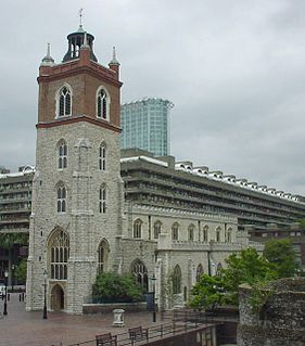
St Giles-without-Cripplegate is an Anglican church in the City of London, located on Fore Street within the modern Barbican complex. When built it stood without the city wall, near the Cripplegate. The church is dedicated to St Giles, patron saint of lepers, beggars and the handicapped. It is one of the few medieval churches left in the City of London, having survived the Great Fire of 1666.
Roundhouse may refer to:
Bow Street Magistrates' Court became one of the most famous magistrates' court in England. Over its 266-year existence it occupied various buildings on Bow Street in Central London, immediately north-west of Covent Garden. It closed in 2006 and its work moved to a set of four Magistrates' Courts: Westminster, Camberwell Green, Highbury Corner and the City of London Magistrates' Court.
The Phoenix Garden is a local community garden in central London, England, established in 1984. Located in St Giles behind the Phoenix Theatre, within the London Borough of Camden, the Phoenix Garden is nestled between the busy Soho and Covent Garden areas. The Garden is located just off St Giles Passage and Stacey Street, north of Shaftesbury Avenue and east of Charing Cross Road.
St Giles-in-the-Fields, also commonly known as the Poets' Church, is a church in the London Borough of Camden, in the West End. It is close to the Centre Point office tower and the Tottenham Court Road tube station. The church is part of the Diocese of London within the Church of England. Several buildings have stood on the site; the present structure was built between 1731 and 1733.
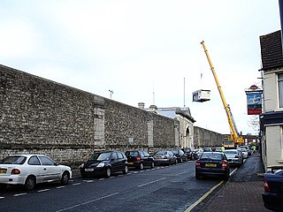
HM Prison Maidstone is a Category C men's prison, located in Maidstone, Kent, England. The prison is operated by Her Majesty's Prison Service.
Gatehouse Prison was a prison in Westminster, built in 1370 as the gatehouse of Westminster Abbey. It was first used as a prison by the Abbot, a powerful churchman who held considerable power over the precincts and sanctuary. It was one of the prisons which supplied the Old Bailey with information on former prisoners for making indictments against criminals
Tothill Fields Bridewell was a prison located in the Westminster area of central London between 1618 and 1884. It was named "Bridewell" after the Bridewell Palace, which during the 16th century had become one of the City of London's most important prisons. Tothill Fields later became the Westminster House of Correction.
Little Portugal is an area in South London, specifically around Stockwell, where there is a large Portuguese community. To some extent, the area geographically corresponds with the South Lambeth area.
St John Zachary was a church, first mentioned in official records in 1181, within the City of London, England, on the north side of Gresham Street, Aldersgate. Its vicar from May 25, 1424 to an unknown date was William Byngham, the founder of England's first teacher training college It was destroyed in the Great Fire of London in 1666 and not rebuilt, with its parish being reunited with that of St Anne and St Agnes by Act of Parliament in 1670- an arrangement that lasted until the 20th century. Its site is now a garden first made by the fire watchers in 1941. Partial records survive at IGI.
The Fleet Market was a London market erected in 1736 on the newly culverted River Fleet. The market was located approximately where the modern Farringdon Street stands today, to the west of the Smithfield livestock market.
St. Giles' Church is a church in Ickenham, within the London Borough of Hillingdon in England.
St Giles's Pound was a cattle pound at St Giles Circus in central London in the 17th and 18th centuries, at the intersection of the roads from Hampstead and from Oxford. It became a point from which distances to London were measured.
Whitecross Street is a short street in Islington, in Inner London. It features an eponymous street market and a large housing estate.
Coordinates: 51°30′58″N0°7′21″W / 51.51611°N 0.12250°W
A geographic coordinate system is a coordinate system that enables every location on Earth to be specified by a set of numbers, letters or symbols. The coordinates are often chosen such that one of the numbers represents a vertical position and two or three of the numbers represent a horizontal position; alternatively, a geographic position may be expressed in a combined three-dimensional Cartesian vector. A common choice of coordinates is latitude, longitude and elevation. To specify a location on a plane requires a map projection.
This article about a London building or structure is a stub. You can help Wikipedia by expanding it. |
This article about a United Kingdom prison is a stub. You can help Wikipedia by expanding it. |