
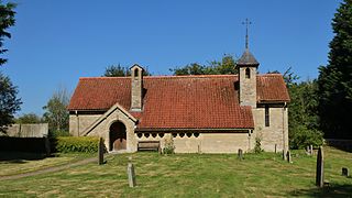
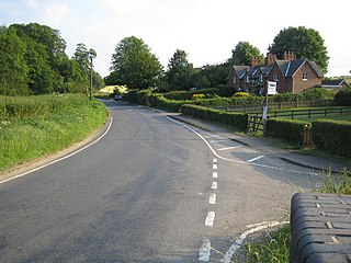
Saunderton is a village in the Saunderton Valley in the Chiltern Hills, Buckinghamshire, England, in the civil parish of Bledlow-cum-Saunderton. The village consists of three main areas: a linear settlement along Bledlow Road about 1+1⁄4 miles (2 km) southwest of Princes Risborough, Saunderton Lee, about 1+1⁄2 miles (2 km) further south and a residential area on the A4010 road around Saunderton railway station, about 4+1⁄2 miles (7 km) northwest of High Wycombe. This residential area, unlike the other two parts of the village, is in the HP14 postcode district, meaning its post town is High Wycombe, not Princes Risborough, the boundary between the two post towns passing just south of Grange Farm.

Saint Vincent of Saragossa, the Protomartyr of Spain, was a deacon of the Church of Saragossa. He is the patron saint of Lisbon and Valencia. His feast day is 22 January in the Roman Catholic Church and Anglican Communion and 11 November in the Eastern Orthodox Church. He was born at Huesca and martyred under the Emperor Diocletian around the year 304.

Rampton is a village in the civil parish of Rampton and Woodbeck, about 6 miles (10 km) east of Retford in the Bassetlaw district, in the county of Nottinghamshire, England. The parish is long and thin, extending about 7 miles (11 km) east–west but only about 1 mile (1.6 km) north–south. Its eastern boundary is the River Trent, which here also forms the county boundary with Lincolnshire.
Curbridge is a village and civil parish immediately southwest of Witney, in the West Oxfordshire district, in the county of Oxfordshire, England. The 2011 Census recorded the parish's population as 529. Since 2012 it has been part of the Curbridge and Lew joint parish council area, sharing a parish council with the adjacent civil parish of Lew.

Littlebourne is a village and civil parish 4 miles (6.4 km) east of Canterbury in Kent, South East England.
Britwell Salome is a village and civil parish in South Oxfordshire, England centred 4+1⁄2 miles (7 km) northeast of Wallingford. The 2011 Census recorded the parish's population as 204.
Duns Tew is an English village and civil parish about 7+1⁄2 miles (12 km) south of Banbury in Oxfordshire. The 2011 Census recorded the parish's population as 478. With nearby Great Tew and Little Tew, Duns Tew is one of the three villages known collectively as "The Tews". A 'tew' is believed to be an ancient term for a ridge of land.

Emmington is a village in Chinnor civil parish about 4.5 miles (7 km) southeast of Thame in Oxfordshire.

Cornwell is a small village and civil parish about 2.5 miles (4 km) west of Chipping Norton in the West Oxfordshire district of Oxfordshire, on the county border with Gloucestershire. The 2001 Census recorded the parish's population as 66.

Swyncombe is a hamlet and large civil parish in the high Chilterns, within the Area of Outstanding Natural Beauty about 4+1⁄2 miles (7 km) east of Wallingford, Oxfordshire, England. Swyncombe hamlet consists almost entirely of its Church of England parish church of Saint Botolph, the former rectory and Swyncombe House. The population of the parish is in the hamlets of Cookley Green and Russell's Water, and the scattered hamlet of Park Corner. The 2011 Census recorded the parish's population as 250. It is partially forested and is the fifth largest of 87 civil parishes in the District.

Great Rollright is a village in the civil parish of Rollright, about 2.5 miles (4 km) north of Chipping Norton, Oxfordshire.
The Anglican Church of St Vincent at Ashington in the civil parish of Chilton Cantelo, Somerset, England is from the 13th century. It has been designated as a Grade I listed building.

Little Rollright is a hamlet in the civil parish of Rollright, Oxfordshire, about 3 miles (5 km) northwest of Chipping Norton. It is the village nearest to the megalithic Rollright Stones. An early spelling may be seen, its Latin form, as "Parva Rolrandryght" in 1446. Little Rollright is in the Kingham, Rollright and Enstone ward of West Oxfordshire District Council and the Chipping Norton division of Oxfordshire County Council.
Sacombe is a village and civil parish in the East Hertfordshire district, of Hertfordshire, England. At the 2001 census it had a population of 165. Sacombe is located about 4 miles N N W of Ware; other nearby settlements include Dane End and Sacombe Green.

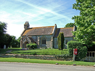
The Church of Saint Oswald, King and Martyr is an Anglican church serving the village and parish of Oswaldkirk, North Yorkshire, England. It is located along the main road passing through the village, 1.5 miles (2.4 km) east of Ampleforth Abbey.

Nether Worton is a hamlet in Oxfordshire, about 6+1⁄2 miles (10.5 km) south of Banbury and 7 miles (11 km) east of Chipping Norton. Nether Worton was a separate civil parish until 1932, when it was merged with Over Worton to form the current civil parish of Worton.

Over Worton is a hamlet in Oxfordshire, about 7 miles (11 km) south of Banbury and 7+1⁄2 miles (12 km) east of Chipping Norton. Over Worton was a separate civil parish until 1932, when it was merged with Nether Worton to form the current civil parish of Worton.

The Church of St Mary is a Church of England parish church in Elland, West Yorkshire. The church is a Grade I listed building.
The Anglican Church of St Pancras in West Bagborough, Somerset, England was built in the 15th century. It is a Grade II* listed building.

