Stainmore may refer to:
- Stainmore, a remote geographic area and civil parish in the Pennines near the borders of Cumbria, County Durham and North Yorkshire.
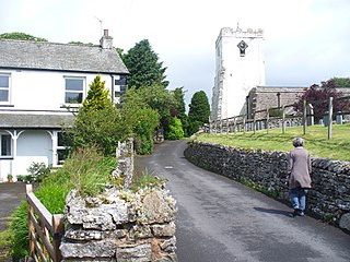
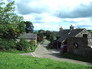
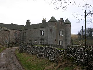
- North Stainmore, a village in the civil parish of Stainmore, Cumbria
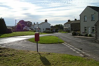
- South Stainmore, a village in Stainmore, Cumbria
- Stainmore Railway, properly known as the South Durham and Lancashire Union Railway
- Stainmore Railway Company, an organisation attempting to restore the former Stainmore Railway
- Stainmore Summit, highest point on the Stainmore Railway

Stainmore Railway Company is a volunteer run non-profit preservation company formed in 2000 with the aim of restoring Kirkby Stephen East railway station in Kirkby Stephen, Cumbria, England. In 1997 a company called Stainmore Properties Ltd. was formed, with the intention to convert KSE into an authentic North Eastern Railway focused heritage centre representing the early 1950s. The Stainmore Railway Company was subsequently formed to restore the site. Since then essential repairs have been made to the roof and station, a number of rooms have been restored and a short section of track has been laid along the formation of the old Eden Valley Railway, with some sidings and yard infrastructure within the station area and surroundings. A quantity of rolling stock that is authentic to the site has also been brought in.

Stainmore Summit is the highest point on the trans-Pennine South Durham & Lancashire Union Railway, also known as the Stainmore Railway in Northern England. Located between Barras and Bowes stations, the railway over the summit was the highest in England at 1,370 ft (418 m) until its closure in 1962. The location was marked by a famous cast-iron sign which is now preserved at the Darlington Railway Centre and Museum. This pass is commonly referred to by geographers as the Stainmore Gap.
- Battle of Stainmore a battle fought in 954AD in Westmoreland, England
- Brough, Cumbria also known as Brough under Stainmore

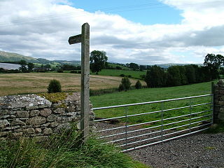
Stainmore is a remote geographic area in the Pennines on the border of Cumbria, County Durham and North Yorkshire. The name is used for a civil parish in the Eden District of Cumbria, England, including the villages of North Stainmore and South Stainmore. The parish had a population of 253 in the 2001 census, increasing to 264 at the Census 2011. Stainmore Forest stretches further east into County Durham, towards Bowes.

The Pennines, also known as the Pennine Chain or Pennine Hills, are a range of mountains and hills in England separating North West England from Yorkshire and North East England.

Cumbria is a ceremonial and non-metropolitan county in North West England. The county and Cumbria County Council, its local government, came into existence in 1974 after the passage of the Local Government Act 1972. Cumbria's county town is Carlisle, in the north of the county, and the only other major urban area is Barrow-in-Furness on the southwestern tip of the county.