Related Research Articles

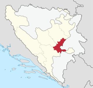
The Sarajevo Canton, officially the Canton of Sarajevo, is one of 10 cantons of the Federation of Bosnia and Herzegovina in Bosnia and Herzegovina. Its cantonal seat is the city of Sarajevo, also the capital city of Bosnia and Herzegovina.

The Bosnian-Podrinje Canton Goražde is one of ten cantons of the Federation of Bosnia and Herzegovina, an entity in Bosnia and Herzegovina.

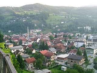
Fojnica (Фојница) is a town and municipality located in Central Bosnia Canton of the Federation of Bosnia and Herzegovina, an entity of Bosnia and Herzegovina. It is located west of the capital Sarajevo, in the valley of the Fojnička River, tributary of the river Bosna. Fojnica is a small town in central Bosnia and is also a balneological resort.

Ravno is a village and municipality located in Herzegovina-Neretva Canton of the Federation of Bosnia and Herzegovina, an entity of Bosnia and Herzegovina. Ravno was a separate municipality until 1963, when it became a part of the Trebinje municipality. In 1994, the border changed and Ravno became a separate municipality again. This time however, part of the frontier lands of Trebinje municipality were added as part of Ravno. When Ravno inherited part of the former Trebinje municipality it had an area of 447 km2 (173 sq mi). These added borderlands went under the title Travunian Marches and were mostly inhabited by Serbs. The settlement of Ivanica has an unobstructed view of the Adriatic Sea.
Kacevac is a village in the municipality of Bijeljina, Republika Srpska, Bosnia and Herzegovina.
Kopić is a village in the municipality of Glamoč, Bosnia and Herzegovina.
Prisoje is a village in the municipality of Tomislavgrad in Canton 10, the Federation of Bosnia and Herzegovina, Bosnia and Herzegovina.
Košutica is a village in the municipality of Sokolac, Bosnia and Herzegovina.
Kalimanići is a village in the municipality of Srebrenica, Bosnia and Herzegovina.
Nogačevići is a village in the municipality of Srebrenica, Bosnia and Herzegovina.
Kmur is a mountain in the municipality of Foča, Bosnia and Herzegovina. It has an altitude of 1,508 metres (4,948 ft).
Živanj is a mountain in the municipality of Gacko, Bosnia and Herzegovina. It has an altitude of 1,696 metres (5,564 ft).

Vranica is a mountain range in the Dinaric Alps of central Bosnia and Herzegovina, located between the town of Gornji Vakuf in the west and the town of Fojnica in the east, within the territory of the Federation. The highest peak is Nadkrstac at 2,110 metres (6,920 ft). Geologically, the Vranica range is part of the Dinaric Alps and formed largely of secondary and tertiary sedimentary rock, mostly limestone. Notable peaks are Nadkrstac, Locika, Rosinj and Scit. Thick shrubs of Pinus Mugo replace mixed forest -mostly beech- above 1400 m. The typical karst characteristics of the nearby Herzegovina mountains is relatively absent in Vranica, which has relatively abundant water sources. Streams that source from these mountains are the Dragača in the east, the Vrbas in the west.
Lovnica is a mountain in the municipality of Konjic, Bosnia and Herzegovina. It has an altitude of 1,856 metres (6,089 ft).
Tušnica is a mountain in the municipality of Livno, Bosnia and Herzegovina. It has an altitude of 1,697 metres (5,568 ft).
Rujište is a mountain and ski resort situated between the elevations of 1,052 metres (3,451 ft) and 1,175 metres (3,855 ft) in the municipality of Mostar, Bosnia and Herzegovina. It is located in mountain range Prenj.

Ljubuša is a mountain in the municipality of Tomislavgrad, Bosnia and Herzegovina. It has an elevation of 1,797 metres (5,896 ft).

Zec or Zec Planina is a mountain in the municipality of Fojnica, Bosnia and Herzegovina. It has an altitude of 1,845 metres (6,053 ft).

Bitovnja is a mountain in the municipality of Kresevo, Bosnia and Herzegovina. It has an altitude of 1,700 metres (5,600 ft).
Radio gradska mreža - Mostarski radio is a Bosnian local public radio station, broadcasting from Mostar, Bosnia and Herzegovina.
References
- ↑ "Statistical Yearbook of the Federation of Bosnia and Herzegovina" (PDF). Federation of Bosnia and Herzegovina, Federal Office of Statistics. 2009. p. 28. Archived from the original (PDF) on 2010-03-07.
Coordinates: 43°58′N17°20′E / 43.967°N 17.333°E