Szabadszállás | |||
|---|---|---|---|
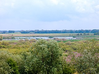
 Aerial view | |||
| |||
 Szabadszállás | |||
| Coordinates: 46°52′N19°13′E / 46.867°N 19.217°E | |||
| Country | |||
| County | Bács-Kiskun | ||
| District | Kunszentmiklós | ||
| Area | |||
| • Total | 164.62 km2 (63.56 sq mi) | ||
| Population (2015) | |||
| • Total | 6,148 | ||
| • Density | 37/km2 (97/sq mi) | ||
| Time zone | UTC+1 (CET) | ||
| • Summer (DST) | UTC+2 (CEST) | ||
| Postal code | 6080 | ||
| Area code | (+36) 76 | ||
| Website | www | ||


Szabadszállás is a small town in Bács-Kiskun county, Hungary, 80 kilometres south of Budapest by rail. The town is surrounded by several areas of the Kiskunság National Park.

A county is a geographical region of a country used for administrative or other purposes, in certain modern nations. The term is derived from the Old French conté or cunté denoting a jurisdiction under the sovereignty of a count (earl) or a viscount. The modern French is comté, and its equivalents in other languages are contea, contado, comtat, condado, Grafschaft, graafschap, Gau, etc..

Hungary is a country in Central Europe. Spanning 93,030 square kilometres (35,920 sq mi) in the Carpathian Basin, it borders Slovakia to the north, Ukraine to the northeast, Austria to the northwest, Romania to the east, Serbia to the south, Croatia to the southwest, and Slovenia to the west. With about 10 million inhabitants, Hungary is a medium-sized member state of the European Union. The official language is Hungarian, which is the most widely spoken Uralic language in the world. Hungary's capital and its largest city and metropolis is Budapest. Other major urban areas include Debrecen, Szeged, Miskolc, Pécs and Győr.

Budapest is the capital and the most populous city of Hungary, and the tenth-largest city in the European Union by population within city limits. The city had an estimated population of 1,752,704 in 2016 distributed over a land area of about 525 square kilometres. Budapest is both a city and county, and forms the centre of the Budapest metropolitan area, which has an area of 7,626 square kilometres and a population of 3,303,786, comprising 33 percent of the population of Hungary.