Kneževi Vinogradi is a village and municipality in Croatia. It is situated in the Osijek-Baranja County, on the southern slopes of Bansko Brdo, 11 km southeast of Beli Manastir. Its elevation is 103 m. Chief occupations of villagers include farming, viticulture, livestock breeding and dairy industry. At the time of 2011 census Kneževi Vinogradi was the only municipality in Croatia with a relative majority of Hungarians of Croatia.

Apostag is a village and municipality in Bács-Kiskun county, in the Southern Great Plain region of southern Hungary.

Vaskút is a large village in Bács-Kiskun county, in the Southern Great Plain region of southern Hungary.

Felsőszentiván is a village and municipality in Bács-Kiskun county, in the Southern Great Plain region of southern Hungary.

Nagybaracska is a village and municipality in Bács-Kiskun county, in the Southern Great Plain region of southern Hungary.
Bátmonostor is a village in Bács-Kiskun county, in the Southern Great Plain region of southern Hungary.

Érsekcsanád is a village in Bács-Kiskun county, in the Southern Great Plain region of southern Hungary. It is named after Csanád, the first head (comes) of the former Csanád County of Hungary in the first decades of the 11th century.

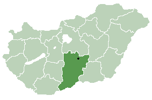
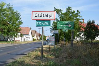
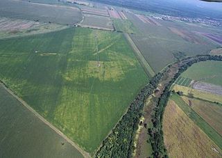
Csátalja is a village in Bács-Kiskun county, in the Southern Great Plain region of southern Hungary.

Uszód is a village in Bács-Kiskun county, in the Southern Great Plain region of southern Hungary.
Dunatetétlen is a village in Bács-Kiskun county, in the Southern Great Plain region of Hungary.

Miske is a village in Bács-Kiskun county, in the Southern Great Plain region of southern Hungary.

Szeremle is a village in Bács-Kiskun county, in the Southern Great Plain region of southern Hungary.

Szakmár is a village in Bács-Kiskun county, in the Southern Great Plain region of southern Hungary.

Kéleshalom is a village in Bács-Kiskun county, in the Southern Great Plain region of southern Hungary.

Géderlak is a village in Bács-Kiskun county, in the Southern Great Plain region of southern Hungary.

Katymár is a village in Bács-Kiskun county, in the Southern Great Plain region of southern Hungary.

Öregcsertő is a village in Bács-Kiskun county, in the Southern Great Plain region of southern Hungary.

Sükösd is a village in Bács-Kiskun county, in the Southern Great Plain region of southern Hungary.

Zákány is a village in Hungary which is located in Somogy County next to the Croatian border.
Lispeszentadorján is a village of 334 people in Hungary. It lies in the southern part of the Zala hills, close to the Slovenian and Croatian borders. The distance to Budapest is approx. 254 km (158 mi) by car.


