
Puno is a department in southeastern Peru. It is bordered by Bolivia on the east, the departments of Madre de Dios on the north, Cusco and Arequipa on the west, Moquegua on the southwest, and Tacna on the south. Its capital is the city of Puno, which is located on Lake Titicaca in the geographical region known as the Altiplano or high sierra.

Melgar Province is a province of the Puno Region in Peru. The capital of the province is the city of Ayaviri.
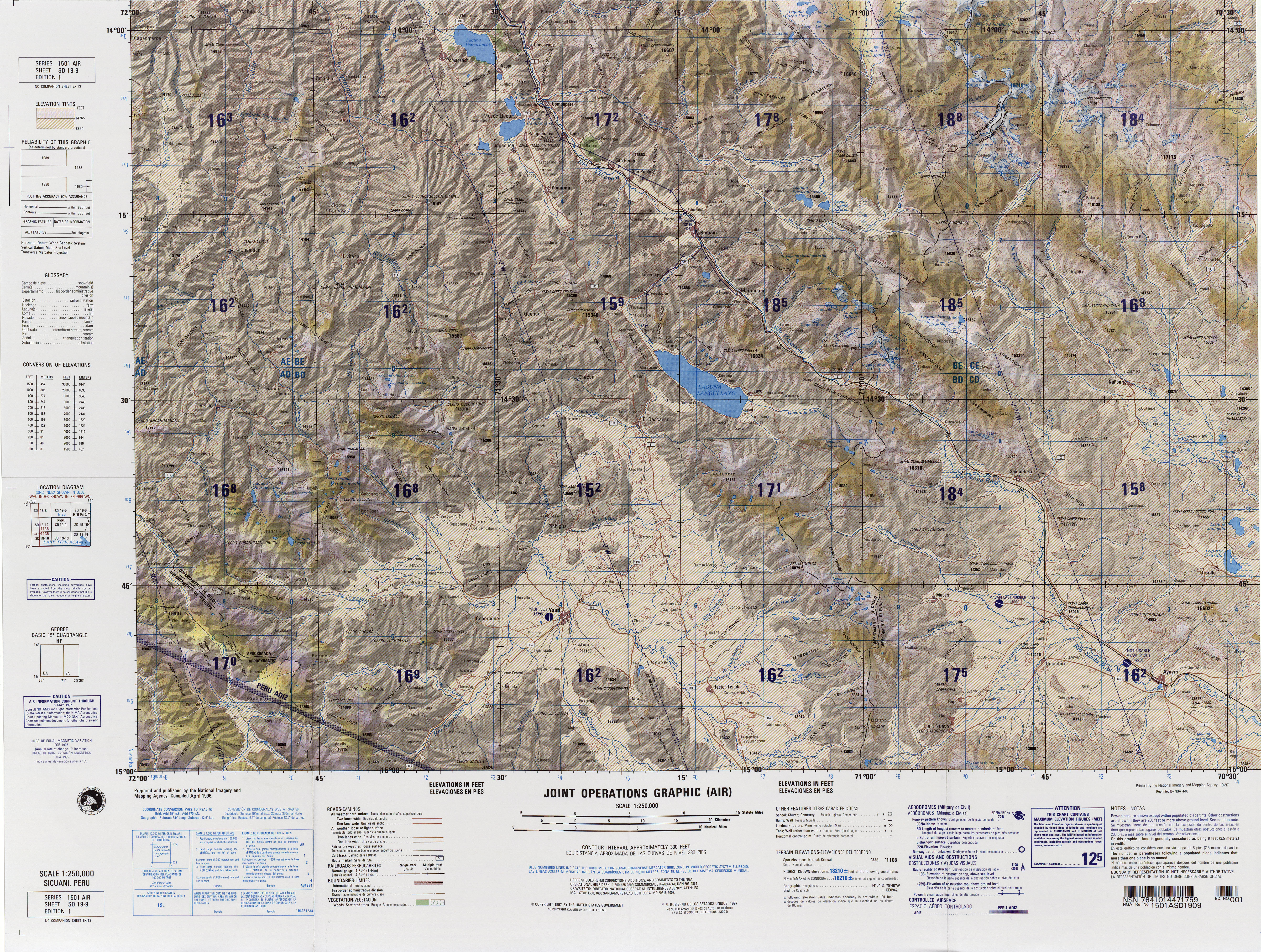
Ayaviri or Ayawiri (Aymara) is one of nine districts of the province Melgar in Peru.

Jatuncucho is a mountain in the Vilcanota mountain range in the Andes of Peru, about 5,400 metres (17,717 ft) high. It is situated in the Cusco Region, Canchis Province, San Pablo District, in the Puno Region, Carabaya Province, Corani District, and in the Melgar Province, Nuñoa District. Jatuncucho lies between Pomanota in the north-west and Jonorana in the east and north-east of the mountain Cochacucho.
Qillqa is a mountain in the Andes of Peru, about 4,900.9 metres (16,079 ft) high. It is located in the Puno Region, Melgar Province, Macari District, near the border with the Cusco Region, Espinar Province, Alto Pichigua District.
Kunturwasa is a mountain in the Andes of Peru, about 4,344 metres (14,252 ft) high. It is situated in the Puno Region, Melgar Province, Macari District, north of a plain called Pampa Tinaya, north-east of Macari.
Wisa Wisa is a mountain in the Andes of Peru, about 4,849.4 metres (15,910 ft) high. It is situated in the Puno Region, Lampa Province, Vilavila District, and in the Melgar Province, Ayaviri District. Wisa Wisa lies near the mountains Pukarani (Pucarani) in the northwest and Wallatani (Huallatane) in the southeast, southwest of a place called Wisa Wisa (Huisa Huisa).
Yuracjasa is a mountain in the Vilcanota mountain range in the Andes of Peru, about 5,000 metres (16,404 ft) high. It is located in the Puno Region, Melgar Province, in the north of the Nuñoa District, near Chullupata.
Yuraq Q'asa or Yuraqq'asa is a mountain in the Willkanuta mountain range in the Andes of Peru, about 4,800 metres (15,748 ft) high. It is located in the Puno Region, Melgar Province, in the Nuñoa District, near a place named Pumanuta.
Cochacucho is a mountain in the Vilcanota mountain range in the Andes of Peru. The mountain is about 5,300 metres (17,388 ft) high. It is located in the Cusco Region, Canchis Province, San Pablo District, and in the Puno Region, Melgar Province, Nuñoa District. It is situated southwest of the mountains Pomanota and Jatuncucho, and north of the mountain Jatun Sallica.
Sambo is a mountain in the Vilcanota mountain range in the Andes of Peru, about 5,200 metres (17,060 ft) high. It is situated in the Puno Region, Melgar Province, Nuñoa District. Sambo lies southwest of Hueco and Quellhuacota and northwest of Huillopuncho.
Yanacocha is a mountain in the Vilcanota mountain range in the Andes of Peru, about 5,000 metres (16,404 ft) high. The mountain is located in the Puno Region, Carabaya Province, Macusani District, and the Melgar Province, Nuñoa District. Yanacocha lies south of the river Ninahuisa.
Collpacaja is a mountain in the southern extensions of the Vilcanota mountain range in the Andes of Peru, about 5,000 metres (16,404 ft) high. The mountain is situated in the Puno Region, Melgar Province, Nuñoa District. Collpacaja lies south of the mountain Yanacocha. West of it there is a small lake named Quellhuacocha.
Jatunyurac Caca is a mountain in the southern extensions of the Vilcanota mountain range in the Andes of Peru, about 5,000 metres (16,404 ft) high. It is situated in the Puno Region, Melgar Province, Nuñoa District. Jatunyurac Caca lies southwest of the mountain Collpacaja, east of Yaretani and north of a lower mountain named Yuracgaga.
Mamañawi is a mountain in the Andes of Peru, about 5,100-metre (16,732 ft) high. It is situated in the Puno Region, Lampa Province, Santa Lucía. Mamañawi lies northwest of the mountain Uturunqani and southeast of Pukapunchu.
Puka Urqu is a mountain in the La Raya mountain range in the Andes of Peru, about 5,000 metres (16,404 ft) high. It is situated in the Puno Region, Melgar Province, Santa Rosa District. Puka Urqu lies near the La Raya pass north of Khunurana.
Sillajata is a 5,037-metre-high (16,526 ft) mountain in the Vilcanota mountain range in the Andes of Peru. It is situated in the Puno Region, Melgar Province, Nuñoa District. It lies south of Jonorana and southeast of Salla Huancane.
Achucallani or Achuqallani is a mountain in the Andes of Peru, about 5,000 m (16,000 ft) high. It is located in the Puno Region, Melgar Province, Ayaviri District.
Ch'ulla Rinri is a mountain in the Andes of Peru, about 4,950 m (16,240 ft) high. It is located in the Puno Region, Lampa Province, Ocuviri District, and in the Melgar Province, Ayaviri District. Ch'ulla Rinri lies northwest of Achuqallani and north of Warmi Sayana.


