
Manikganj is a district in central Bangladesh and part of the Dhaka Division. It was established in 1845, it was a subdivision of Faridpur District until, in 1953, it was transferred to Dhaka District for administrative purposes. In 1984, Manikganj was declared a full district.
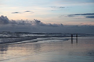
Cox's Bazar is a city, fishing port, tourism centre, and district headquarters in southeastern Bangladesh. Cox's Bazar Beach, one of the most popular tourist attractions in Bangladesh, is the longest uninterrupted naturally occurring sea beach in the world. Located 150 km (93 mi) south of the city of Chittagong, Cox's Bazar is also known by the name Panowa, which translates literally as "yellow flower." An old name was "Palongkee".

Banshkhali is an upazila of Chittagong District in Chittagong Division, Bangladesh.
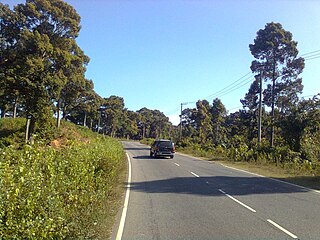
Chakaria is an upazila of Cox's Bazar District in the Division of Chittagong, Bangladesh.

Hatiya is an upazila (sub-district) of Noakhali District in Bangladesh's Chittagong Division. It encompasses several islands of Bangladesh, most notably Hatiya Island, Nijhum Dwip, Domar Char, Kolatoli Char, Bhasan Char and Swarna Dweep.
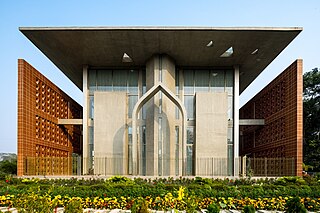
Senbagh, also spelt Senbag and Senbug, is an upazila of Noakhali District. It is named after its administrative centre, the municipality of Senbagh.
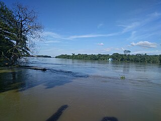
Balaganj is an upazila of Sylhet District in Sylhet Division, Bangladesh.
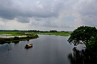
Kaliganj is an upazila (sub-district) of Gazipur District in central Bangladesh, part of the Dhaka Division.

Dewanganj is an Upazila of Jamalpur District, Mymensingh Division, Bangladesh. It covers an area of 266.59 km2 (102.93 sq mi).
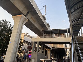
Sultan Bazar is a historic market in Hyderabad, Telangana, India. It lies between the commercial areas of Abids and Koti. The area occupied by Sultan Bazaar was part of what was earlier known as Residency Bazaars. The bazaars developed during colonial times along with the construction of the British Residency. Sultan Bazaar was previously under the control of British and was handed over to control of Nizam in 14 June, 1933. Later it was named after the nawab of that area, Syed Sultanuddin, and so is known as sultan bazar now.

Wali Khan Mosque is an 18th-century mosque located in Chittagong, Bangladesh. It is situated in the Chawk Bazar area of the city.
Dharmapur is a union of Fatikchhari Upazila of Chittagong District, Bangladesh.
Farhadabad Union is a union of Hathazari Upazila of Chittagong District, Bangladesh.
Naodhar or Nowdher is a village in Bishwanath Upazila, under Sylhet District, Bangladesh. It is divided into three parha/mahalla: Rahman Nagor, Mazparha and Purboparha.
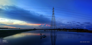
Badarkhali is a village in southeastern Bangladesh and a Union Parishad. Built on the banks of the Moheshkhali Channel, and has a population of over 47,000. It is located 120 km south of Chittagong and in Cox's Bazar District. The modern Badarkhali derives its name from Badar Shah. In 1340 Badar Shah and the twelve Awlias, along with the Sufi general Syed Nasiruddin defeated King Achak Narayan of Tungachal and established Muslim rule there.
Kashipur Multilateral High School is a secondary school located in Khashipur Bazar, Sonaimuri Upazila, Noakhali District in south-eastern Bangladesh. It was established in 1957.

The Board of Intermediate and Secondary Education, Chattogram, also known as BISE, Chittagong is an autonomous organization in Chittagong, Bangladesh, mainly responsible for organization, control, supervision and development of secondary and higher secondary education and for holding public examinations in the Greater Chittagong region including 5 districts of the Chittagong Division. The board started its operation in the year 1995 and took charge of schools of 5 districts, previously controlled by the BISE, Comilla. The board controls 1125 secondary and 279 higher secondary schools.

Sheikh Kamal International Stadium, also known as Cox's Bazar Cricket Stadium, is a cricket stadium in the tourist town of Cox's Bazar, Bangladesh.
Balaganj Union is a Union Parishad under Balaganj Upazila of Sylhet District in the division of Sylhet, Bangladesh. It has an area of square kilometres and a population of 3. Muhammad Abdul Munim has been leading it since 2016. The chief police (dofadar) of the Union is Abdul Malik.
Sachna Bazar High School is a secondary school located on the north side of market Sachna Bazar in Sunamganj District. The EIIN number of this school is '129986' and situated at Jamalganj, Sunamganj, Sylhet Division, Bangladesh. The geographical coordinates are 24°59'49.29" North, 91°14'1.55" East.


