Related Research Articles
Jesús María is a city in the Mexican state of Aguascalientes. It stands at 21°58′N102°21′W and serves as the municipal seat of the surrounding municipality of Jesús María.

Pabellón de Arteaga is a city in the Mexican state of Aguascalientes. It stands at 22°09′N102°16′W in the central part of the state. The city serves as the municipal seat of the municipality of Pabellón de Arteaga. As of 2010, the city had a total population of 28,633, up from 26,797 in 2005. It is the third-largest city in the state behind Aguascalientes and Jesús María.

Rincón de Romos is a municipality and city in the Mexican state of Aguascalientes. Located at 22°14′N102°19′W in the northern part of the state, the city serves as the municipal seat of the surrounding municipality Rincón de Romos.

Juan Aldama is a city in the northwestern portion of the Mexican state of Zacatecas. It is the biggest community in the Municipality of Juan Aldama and the seat of the municipal government.
Sombrerete is a town and municipality located in the northwest of the Mexican state of Zacatecas, bordering the state of Durango.
Cuencamé is a small city and the seat of the municipality of Cuencamé in the state of Durango, which is in northern Mexico. As of 2015, the city had a total population of 9,848.

Calera is one of the 58 municipalities in the Mexican state of Zacatecas. It is located on the central part of the state of Zacatecas and it is bounded by the municipalities of General Enrique Estrada, Fresnillo, Villa de Cos, Pánuco, Morelos and Zacatecas. The municipality covers a total surface area of 389 square kilometers (150 sq mi). The municipality makes up for 0.5% of the area of the state of Zacatecas.

Concepción del Oro is one of the 58 municipalities in the Mexican state of Zacatecas. It is located on the northern part of the state and it is bounded by the municipalities of Mazapil and El Salvador; it also lies next to the states of Coahuila and San Luis Potosí. The municipality covers a total surface area of 2,559 square kilometers (988 sq mi).

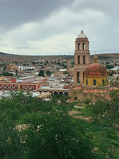
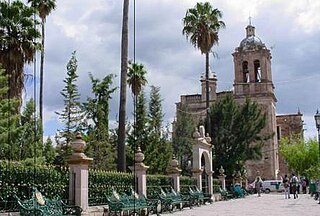
Milpillas de Allende is a town in the southern portion of the Mexican state of Zacatecas, at around 21°19'31" N, 103°36'50" W, in the municipality of Teúl de González Ortega. People of this singular town grow corn and blue agave in peculiar red soil, and also engage in cattle ranching.

The municipality of Colotlán is in the northern extremity of the Mexican state of Jalisco. The municipality covers an area of approximately 505 square kilometers. Colotlán is located at 22°12′N103°18′W. It stands at 1,550 metres (5,090 ft) above sea level.
Villanueva is a city in the state of Zacatecas, Mexico. It is the administrative seat of the municipality of Villanueva.
Zapoqui is a small town in the state of Zacatecas, Mexico. It is located about 28 kilometers (17 mi) from the town of Villanueva, birthplace of Antonio Aguilar, a famous Mexican charro.

Cosio is a municipality and town in the Mexican state of Aguascalientes. It stands at 22°22′N102°18′W. The municipal seat is the town of Cosío. As of 2010, the town of Cosío had a population of 4,898.
Río Grande is a municipality in the Mexican state of Zacatecas.

General Francisco R. Murguía is a municipality in the Mexican state of Zacatecas, located approximately 140 kilometres (87 mi) north of the state capital of Zacatecas City.
Saín Alto is a municipality in the Mexican state of Zacatecas, located approximately 110 kilometres (68 mi) northwest of the state capital of Zacatecas City.

Juchipila is a municipality in the Mexican state of Zacatecas, located approximately 160 kilometres (99 mi) southwest of the state capital Zacatecas City.
Genaro Codina is a municipality in the Mexican state of Zacatecas, located approximately 30 kilometres (19 mi) southwest of the state capital of Zacatecas City. It is named after Genaro Codina, musician and composer of the state anthem, the March of Zacatecas.
Mezquital del Oro is a municipality in the Mexican state of Zacatecas, located approximately 190 kilometres (120 mi) southwest of Zacatecas City, the state capital.

Susticacán is a municipality in the Mexican state of Zacatecas, located approximately 55 kilometres (34 mi) west of Zacatecas City, the state capital.
References
- ↑ "Estado de Zacatecas-Estacion: Tayahua". Normales Climatologicas 1951–2010 (in Spanish). Servicio Meteorologico Nacional. Retrieved 22 April 2015.
- ↑ "Extreme Temperatures and Precipitation for Tayahua 1973–2011" (in Spanish). Servicio Meteorológico Nacional. Retrieved 22 April 2015.