
U.S. Route 27 or U.S. Highway 27 (US 27) is a north–south United States Numbered Highway in the Southern and Midwestern U.S. The southern terminus is at US 1 in Miami, Florida. The northern terminus is at Interstate 69 (I-69) in Fort Wayne, Indiana. From Miami, it goes up the center of Florida, then west to Tallahassee, Florida, and north through such cities and towns as Columbus, Georgia; Rome, Georgia; Chattanooga, Tennessee; Lexington, Kentucky; Cincinnati, Ohio; Oxford, Ohio; Richmond, Indiana; and Fort Wayne, Indiana. It once extended north through Lansing, Michigan, to Cheboygan, Mackinaw City, and, for about three years, even as far as St. Ignace. US 27 was first signed in 1926, replacing what had been the eastern route of the Dixie Highway in many states.

U.S. Route 11 or U.S. Highway 11 (US 11) is a major north–south United States Numbered Highway extending 1,645 miles (2,647 km) across the eastern U.S. The southern terminus of the route is at US 90 in Bayou Sauvage National Wildlife Refuge in eastern New Orleans, Louisiana. The northern terminus is at the Rouses Point–Lacolle 223 Border Crossing in Rouses Point, New York. The route continues across the border into Canada as Route 223. US 11, created in 1926, maintains most of its original route. The route north of Knoxville, Tennessee, follows a route similar to Interstate 81 (I-81). While it is signed as a north–south route, it physically travels in a northeast–southwest direction.

U.S. Route 31 or U.S. Highway 31 (US 31) is a major north–south U.S. highway connecting southern Alabama to northern Michigan. Its southern terminus is at an intersection with US 90/US 98 in Spanish Fort, Alabama. Its northern terminus is at an interchange with Interstate 75 (I-75) south of Mackinaw City, Michigan.

U.S. Route 43 (US 43) is a 410-mile-long (660 km) north–south United States Highway in the Southern states of Alabama and Tennessee. It travels from Prichard, Alabama, to Columbia, Tennessee. The highway's southern terminus is in Prichard, at an intersection with US 90, and its northern terminus is in Columbia at an intersection with US 31/US 412/US 412 Bus.

U.S. Route 72 (US 72) is an east–west United States highway that travels for 317.811 miles (511.467 km) from southwestern Tennessee, throughout North Mississippi, North Alabama, and southeastern Tennessee. The highway's western terminus is in Memphis, Tennessee and its eastern terminus is in Chattanooga. It is the only U.S. Highway to begin and end in the same state, yet pass through other states in between. Prior to the U.S. Highway system signage being posted in 1926, the entire route was part of the Lee Highway.

U.S. Route 411 (US 411) is an alternate parallel-highway associated with US 11. It extends for about 309.7 miles (498.4 km) from US 78 in Leeds, Alabama, to US 25W/US 70 in Newport, Tennessee. US 411 travels through northeastern Alabama, northwestern Georgia, and southeastern Tennessee. It is signed north-south, as with most highways that have odd numbers, but the route runs primarily in a northeast-southwest direction, and covers a more east-west mileage than it does north-south. Notable towns and cities along its route include Gadsden, Alabama; Rome, Georgia; Cartersville, Georgia; Maryville, Tennessee; Sevierville, Tennessee, and Newport, Tennessee.

State Route 2 is a 197-mile-long (317 km) west–to–east state highway in the U.S. state of Tennessee. It begins in Murfreesboro, in Rutherford County, and ends near Farragut in Loudon County. The route is both a primary and secondary route. Most of the route is unsigned.

State Route 58, also locally called "Highway 58", is a north–south state highway in the U.S. state of Tennessee that serves as a major route for many communities in Roane, Meigs, and Hamilton counties.

State Route 131 is a south-to-north highway in the U.S. state of Tennessee that is 68.8 miles long. It is designated as a secondary route.

State Route 96 is an east–west and north–south highway in Middle Tennessee. The road begins in Dickson and ends in Granville. The current length is 126.7 mi (203.9 km). Along its path it goes through 10 counties. Locals mostly refer to it as Highway 96.

Interstate 75 (I-75) in the US state of Tennessee runs from Chattanooga to Jellico by way of Knoxville. I-75 enters the East Tennessee region from Georgia, following the Tennessee Valley all the way through Knoxville to near Rocky Top, then climbs into the Cumberland Mountains before crossing over into Kentucky at Jellico.
U.S. Route 27 (US 27) in Tennessee runs from the Georgia state line in Chattanooga to the Kentucky state line in Isham. It forms the informal border between the Eastern and Central timezones of the state. It stays, however, in the Eastern Time Zone.

U.S. Route 41 (US 41) is a part of the United States Numbered Highway System that runs from Miami, Florida, to the Upper Peninsula of the US state of Michigan. In the U.S. state of Georgia it travels 387 miles (623 km) from the Florida state line southeast of Lake Park to the Tennessee state line south of East Ridge, Tennessee. Within the state, US 41 is paralleled by Interstate 75 (I-75) all the way from Florida to Tennessee, and I-75 has largely supplanted US 41 as a major highway. Due to this, the majority of the highway is not part of the National Highway System.
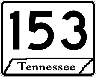
State Route 153 is a state highway in Chattanooga, Tennessee. It runs from Interstate 75/U.S. Route 74 (I-75/US 74) a few miles east of the I-24 interchange, to US 27 just south of Soddy-Daisy. The route serves as a bypass around downtown Chattanooga for I-75 travelers heading towards US 27 north. It is also an important route for drivers from Soddy-Daisy, Hixson, and other parts of northwestern Hamilton County who are heading for I-75 and the eastern half of the county. It is also an important link to the Tennessee Valley Authority Chickamauga Dam, which the highway crosses on the Wilkes T. Thrasher Bridge. It also serves as the primary access to the Chattanooga Metropolitan Airport.

U.S. Route 127 in Tennessee is a 129.5-mile-long (208.4 km) United States Numbered Highway from Chattanooga to the Kentucky state line at Static. The highways connects through Dunlap, Pikeville, Crossville, and Jamestown. Throughout its length, US 127 straddles the line between East Tennessee and Middle Tennessee.

U.S. Route 31A is a 76.94-mile-long (123.82 km) alternate route of U.S. Route 31 that exists between Nashville and Pulaski, Tennessee. It is located entirely in Middle Tennessee and except for the Lewisburg bypass, where it is concurrent with SR 106, it is entirely concurrent with unsigned State Route 11.
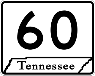
State Route 60 is a north-south major state route in East Tennessee. It covers 54 miles (87 km) and runs from the Tennessee-Georgia state line in Bradley County to Dayton joining US 27.
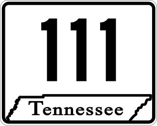
State Route 111 (SR 111) is a north–south highway in Middle and East Tennessee. The road begins in Soddy-Daisy and ends north of Byrdstown in the community of Static, at the Tennessee/Kentucky state line. The length is 116 mi (186.7 km).

State Route 126 is a 24.6-mile-long (39.6 km) state highway that travels through Sullivan County in East Tennessee. It connects Kingsport and Bristol.

State Route 174 (SR 174) is a secondary east–west state highway in northern Middle Tennessee. It traverses northern Davidson and much of Sumner counties.

