
U.S. Route 72 (US 72) is an east–west United States highway that travels for 317.811 miles (511.467 km) from southwestern Tennessee, throughout North Mississippi, North Alabama, and southeastern Tennessee. The highway's western terminus is in Memphis, Tennessee and its eastern terminus is in Chattanooga. It is the only U.S. Highway to begin and end in the same state, yet pass through other states in between. Prior to the U.S. Highway system signage being posted in 1926, the entire route was part of the Lee Highway.

State Route 20 (SR 20) is a 73.978-mile-long (119.056 km) state highway in the northern part of the U.S. state of Alabama. It travels from the Tennessee state line, where it continues as Tennessee State Route 69, northwest of Florence, east to Interstate 65 (I-65), east of Decatur. It crosses the Tennessee River at Florence and also at Decatur
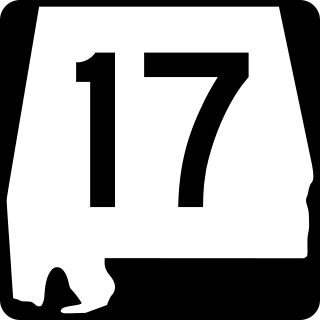
State Route 17 is a major north-to-south highway within the U.S. state of Alabama. Covering 346.562 miles, it travels the length of the state between US 90 in Mobile and SR 13 at the Tennessee state line, north of Zip City.
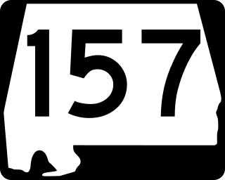
State Route 157 (SR 157) is a 91-mile-long (146 km) state highway in the northern and northwestern parts of the U.S. state of Alabama. Its southern terminus is at an intersection with U.S. Route 278 (US 278) approximately 10 miles (16 km) east of Cullman, where it continues as County Road 719. The northern terminus of the highway is at the Tennessee state line northwest of Florence, where it continues as Tennessee State Route 227 (SR 227).
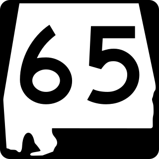
State Route 65 (SR 65) is a 27.540-mile-long (44.321 km) state highway in western Jackson County, in the U.S. state of Alabama. The southern terminus of the highway is at an intersection with U.S. Route 72 (US 72) at Paint Rock. The northern terminus of the highway is at the Tennessee state line, north of Francisco. North of the state line, the highway continues as Tennessee State Route 97.
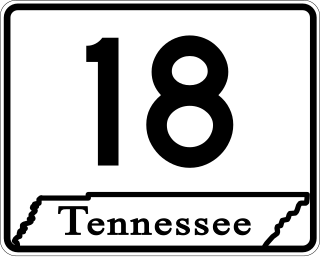
State Route 18 is a primary state highway in south-central West Tennessee. SR 18 is a two-lane facility throughout the majority of its length through the state with the exception being in Bolivar, Tennessee. SR 18 has a short concurrency with US 64 and also with SR 125 at Bolivar.
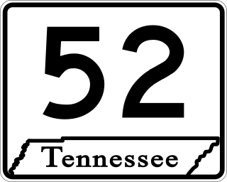
State Route 52 is an east–west state highway that crosses eight counties in northern and northeastern Tennessee. The 141.4-mile-long (227.6 km) route originates in Orlinda along SR 49 and ends in Elgin along U.S. Route 27.

U.S. Route 231 (US 231) in Alabama runs north–south up through the eastern half of Alabama for 306.273 miles (492.899 km). US 231 enters the state from Florida south of Madrid and exits into Tennessee, running councurrently with US 431 north of Hazel Green. US 231 passes through the major cities of Dothan, Troy, Montgomery, and Huntsville.

State Route 441 is a 3.7-mile-long (6.0 km) east–west state highway in Williamson County, Tennessee in the central part of the U.S. state of Tennessee. It travels along the Franklin–Brentwood city line, just south of Nashville.
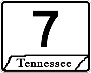
State Route 7 is a south–north state highway in Middle Tennessee, running from the Alabama state line in Lincoln County to SR 100/SR 46 in Hickman County.

State Route 11 is a mostly unsigned south–north highway that goes from the Alabama border in Giles County, Tennessee to the Kentucky border in Montgomery County.

U.S. Route 127 (US 127) in Kentucky runs 207.7 miles (334.3 km) from the Tennessee state line in rural Clinton County to the Ohio state line in Cincinnati. The southern portion of the route is mostly rural, winding through various small towns along the way. It later runs through the state capital of Frankfort before continuing north, eventually passing through several Cincinnati suburbs in Northern Kentucky, joining US 42 near Warsaw and US 25 in Florence before crossing the Ohio River via the Clay Wade Bailey Bridge.
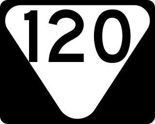
State Route 120 is a north–south secondary state highway located entirely in Stewart County in northwestern Middle Tennessee.

State Route 46 is a north–south state highway located in Middle Tennessee. It mainly goes on a northwest to southeast course while passing through towns and cities such as Cumberland City, Dickson, Leipers Fork, along with mainly rural areas of Stewart, Houston, Dickson, Hickman and Williamson Counties.
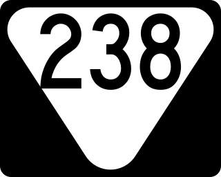
State Route 238 is a north–south secondary state highway located entirely in Montgomery County in Middle Tennessee.

U.S. Route 41 Alternate, also signed U.S. Route 41A in Tennessee (US 41A), connects the town of Monteagle, Tennessee, with Hopkinsville, Kentucky, 10 miles (16 km) north of the Tennessee line. It serves the city of Clarksville, Tennessee, on its way to Nashville, where it briefly runs concurrently with US 41. It then separates again to serve Shelbyville, Winchester, and Tullahoma before rejoining the main route atop Monteagle Mountain. US 41A runs west of US 41 for its entire length, aside from one mile in downtown Nashville where they are concurrent. US 41A is also concurrent with U.S. Route 31A from Nashville to Triune, Tennessee, for a distance of approximately 25 miles (40 km).

State Route 27 is an east–west state highway in southeastern Tennessee. The 48.51-mile-long (78.07 km) route traverses portions of Marion and Hamilton counties in Tennessee, including the Chattanooga area. Both of this route's termini are at state lines. Its western end is at the Alabama state line near South Pittsburg, and its eastern end is at the Georgia state line on Chattanooga's south side.

State Route 38 is a north–south highway located entirely in Hamilton County in southern East Tennessee. The 2.96-mile (4.76 km) highway runs concurrently with U.S. Route 11 for its entire length from the Georgia state line to the US 41/US 64/US 72 in west Chattanooga.

State Route 98 is a north–south state highway located entirely in Lawrence County in Middle Tennessee. Its northern terminus is a junction with US 43 in Leoma, and its southern terminus is at the Alabama state line.

