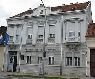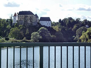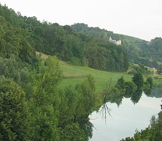
Cetingrad is a municipality in Karlovac County, Croatia near Croatia's border with Bosnia. The population of the village itself is 319, while the total municipality population is 2,027 (2011). The municipality is part of Kordun. Cetingrad is underdeveloped municipality which is statistically classified as the First Category Area of Special State Concern by the Government of Croatia.

Slunj is a town in the mountainous part of Central Croatia, located along the important North-South route to the Adriatic Sea between Karlovac and Plitvice Lakes National Park, on the meeting of the rivers Korana and Slunjčica. Slunj has a population of 1,674, with a total of 5,076 people in the municipality (2011) and is the cultural and social center of the region of Kordun in the vicinity to Bosnia and Herzegovina. Administratively, the town is part of Karlovac County. Slunj is underdeveloped municipality which is statistically classified as the First Category Area of Special State Concern by the Government of Croatia.

Gorski Kotar is the mountainous region in Croatia between Karlovac and Rijeka. Because 63% of its surface is forested it is popularly called the green lungs of Croatia or Croatian Switzerland. The European route E65, which connects Budapest and Zagreb with the Adriatic Port of Rijeka, passes through the region.

Jastrebarsko, colloquially known as Jaska, is a town in Zagreb County, Croatia.

Plaški is a village and a municipality in Karlovac County, Croatia. It is part of Lika.
The Bunjevac dialect is a Shtokavian–Western Ikavian dialect used by members of the Bunjevci community. The speakers live in parts of the autonomous province of Vojvodina in Serbia as well as in southern parts of Hungary. The accent is purely Ikavian, with /i/ for the Common Slavic vowel yat. Its speakers largely use the Latin alphabet, as is illustrated in their locally published newspaper.

Ozalj is a town in central Croatia, located north of Karlovac and southwest of Jastrebarsko, on the Kupa River. It is close to Žumberak in the north and the border with Slovenia in the northwest, with Metlika being the closest Slovenian town.

Bosiljevo is a village and municipality in Karlovac County, Croatia. It is located in the Gorski kotar region, on the highways A1 and A6 leading to Zagreb, Rijeka and Split.

Netretić is a village and a municipality in Karlovac County, Croatia. There are 2,862 inhabitants, 99% of whom are Croats.

Saborsko is a village and municipality in Karlovac County, Croatia. The municipality is part of the Lika region.
Donje Dubrave is a village in Karlovac County, Croatia. It is located in the municipality of Ogulin on the old Josephine Road connecting Duga Resa and Senj. The Rijeka-Zagreb railway passes through the village. It has 250 inhabitants, most of them working on the railway in the nearby cities of Ogulin and Karlovac. There is an elementary school in the village that was attended by five students until a few years ago. The school is currently closed and the students attend school in Ogulin and Generalski Stol.

Ferenci is a village near Ozalj, Karlovac County, Croatia.

Dvorište Vivodinsko is a village near Ozalj, Karlovac County, Croatia.

Fratrovci Ozaljski is a village in Ozalj, Karlovac County, Croatia. It is situated 17 km from Karlovac. Before the signing of the Treaty of Trianon, it was part of Zagreb County.

Furjanići is a village near Ozalj, Karlovac County, Croatia.

Požun is a settlement in Croatia, part of the town of Ozalj in Karlovac County. Požun sits on the left bank of the Kupa, opposite Ozalj Castle.

Brezovica Žumberačka is a settlement in Croatia, part of the Ozalj municipality in Karlovac County. It is located along the Slovene-Croatian border, next to Brezovica pri Metliki, with which it de facto forms one settlement. De jure, it is a Croatian exclave surrounded by Slovene villages of Brezovica pri Metliki and Malo Lešče.

Liješće is a settlement in Croatia, part of the Ozalj municipality in Karlovac County. It is located on the Slovene-Croatian border and is surrounded by the Slovene settlements of Malo Lešče, Brezovica pri Metliki and Bojanja vas. As of 2011, the population of Liješće was 37.


