| Toter Mann | |
|---|---|
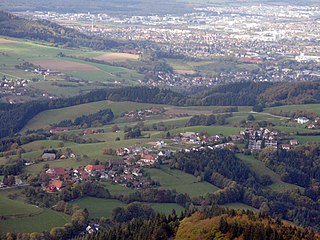
View from the Feldberg of the Toter Mann | |
| Highest point | |
| Elevation | 1,320.7 m above sea level (NHN) (4,333 ft) |
| Coordinates | 47°53′33″N7°59′26″E / 47.8925°N 7.99056°E Coordinates: 47°53′33″N7°59′26″E / 47.8925°N 7.99056°E |
| Geography | |
 Toter Mann | |
| Parent range | Black Forest |

The Toter Mann ("Dead Man") is a mountain, 1,320.7 m above sea level (NHN) [1] high, in the Southern Black Forest in Baden-Württemberg. It lies southeast of Freiburg im Breisgau in the municipality of Oberried.

Normalhöhennull or NHN is a vertical datum used in Germany.
The Southern Black Forest refers to the highest part of the Black Forest which was heavily transformed by ice age glaciation south of a line roughly from Freiburg im Breisgau to Donaueschingen. The term High Black Forest is not quite identical; that usually includes the highest part of the Central Black Forest, southeast of the Elz valley, as well. The Southern Black Forest Nature Park also takes in this area, extending across the whole of the High Black Forest as well as several peripheral areas.

Baden-Württemberg is a state in southwest Germany, east of the Rhine, which forms the border with France. It is Germany’s third-largest state, with an area of 35,751 km2 (13,804 sq mi) and 11 million inhabitants. Baden-Württemberg is a parliamentary republic and partly sovereign, federated state which was formed in 1952 by a merger of the states of Württemberg-Baden, Baden and Württemberg-Hohenzollern. The largest city in Baden-Württemberg is the state capital of Stuttgart, followed by Karlsruhe and Mannheim. Other cities are Freiburg im Breisgau, Heidelberg, Heilbronn, Pforzheim, Reutlingen and Ulm.