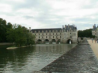
Chenonceaux is a commune in the French department of Indre-et-Loire, region of Centre-Val de Loire, France.
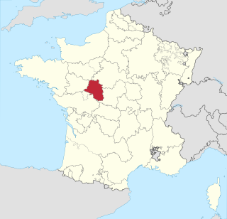
Touraine is one of the traditional provinces of France. Its capital was Tours. During the political reorganization of French territory in 1790, Touraine was divided between the departments of Indre-et-Loire, Loir-et-Cher, Indre and Vienne.

The Cher, also referred to as the Cher River and the River Cher, is a river in central France, a left tributary of the Loire. It is 367.8 km (228.5 mi) long and its basin area is 13,718 km2 (5,297 sq mi). Its source is in the Creuse department, north-east of Crocq. It joins the river Loire at Villandry, west of Tours.

Indre is a landlocked department in central France named after the river Indre. The inhabitants of the department are known as the Indriens and Indriennes. Indre is part of the current administrative region of Centre-Val de Loire and is bordered by the departments of Indre-et-Loire to the west, Loir-et-Cher to the north, Cher to the east, Creuse, and Haute-Vienne to the south, and Vienne to the southwest. The préfecture (capital) is Châteauroux and there are three subpréfectures at Le Blanc, La Châtre and Issoudun.

The Vienne is a major river in south-western France. It is 363 km (226 mi) long. It is a significant left tributary of the lower Loire. It supports numerous hydroelectric dams, and it is the main river of the northern part of the Nouvelle-Aquitaine region.
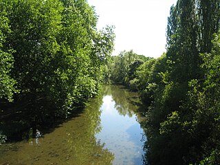
The Indre is a 279.3 km (173.5 mi) long river in central France, a left tributary to the Loire.
The Creuse is a 263-kilometre (163 mi) long river in western France, a tributary of the Vienne. Its source is in the Plateau de Millevaches, a north-western extension of the Massif Central.

The Gartempe is a French river, 205 kilometres (127 mi) long. It is a left tributary of the Creuse, which it joins in La Roche-Posay. Its source is in the municipality of Peyrabout.
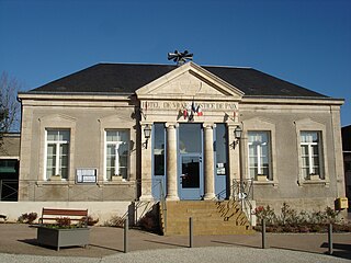
Sainte-Sévère-sur-Indre is a commune in the Indre department in central France.
The Arnon is a 150.5 km (93.5 mi) long river in central France. It is a left tributary of the river Cher. Its source is near the village of Préveranges, west of Montluçon. Its longest tributary is the Théols. The Arnon flows generally north, through the following departments and towns:

Méasnes is a commune in the Creuse department in the Nouvelle-Aquitaine region in central France.

Chaillac is a commune in the Indre department in central France.
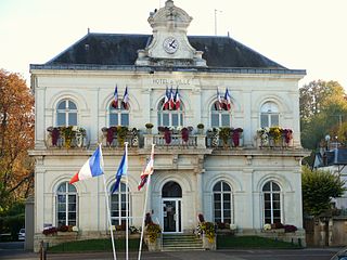
Montbazon is a commune in the Indre-et-Loire department in central France. It is located on the river Indre between the towns of Veigné, Monts and Sorigny. The town is about 12 km from Tours.

Veigné is a commune in the Indre-et-Loire department in central France.

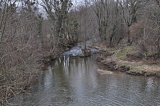
The Bouzanne is an 84.2 kilometres (52.3 mi) long river in the Indre département of central France, and is a tributary of the Creuse. Its source is in the commune of Aigurande, 2.5 kilometres (1.6 mi) northwest of the town itself, near the hamlet of la Bouzanne. It flows generally northwest, going northwards from its source up to Arthon, then southwest to the confluence where it enters the Creuse at the right-hand side of the flow, 1.3 kilometres (0.81 mi) southwest of the village centre of Le Pont-Chrétien-Chabenet.

The Anglin is a 91.3 km (56.7 mi) long river in the Creuse, Indre and Vienne departments in central France. Its source is near Azerables. It flows generally northwest. It is a right tributary of the Gartempe, into which it flows near Angles-sur-l'Anglin.

The Benaize is a 79-kilometre (49 mi) long river in the Creuse, Haute-Vienne, Vienne and Indre departments, central France. Its source is near La Souterraine. It flows generally northwest. It is a left tributary of the Anglin, into which it flows north of Saint-Hilaire-sur-Benaize.

The Indrois is a 59.5-kilometre (37.0 mi) long river in the Indre and Indre-et-Loire departments in central France. Its source is at Villegouin. It flows generally northwest. It is a right tributary of the Indre, into which it flows at Azay-sur-Indre.

The Salleron is a 51.7-kilometre (32.1 mi) long river in the Haute-Vienne, Vienne and Indre departments in central France. Its source is several small streams which converge in a pond at Azat-le-Ris. It flows generally north. It is a left tributary of the Anglin, into which it flows between Concremiers and Ingrandes.
The Abloux is a 49.6 km (30.8 mi) long river in the Creuse and Indre departments in central France. Its source is at Bazelat. It flows generally northwest. It is a right tributary of the Anglin, into which it flows at Prissac.

