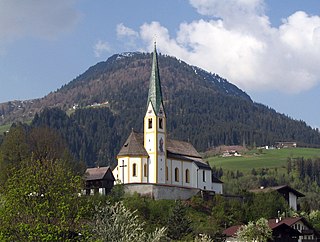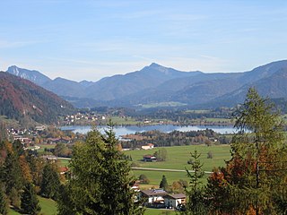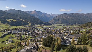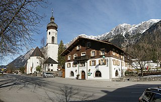
Thalheim bei Wels is a town in the Wels-Land District in the Austrian state of Upper Austria.
Fieberbrunn is a market town in the Austrian state of Tyrol in the Kitzbühel district. It is located at 47°28′N12°33′E, in the Kitzbühel Alps. Fieberbrunn is the most populous municipality in the Pillerseetal valley.

Hopfgarten im Brixental is a market town in the Austrian state of Tyrol in the Kitzbühel district. It is located at an elevation of 622 m above sea level. With an area of 166.57 km² it is the largest municipality in the district, and among the largest in Tyrol.

Kirchberg in Tirol is a municipality in the Austrian state of Tyrol in the Kitzbühel district. It is located 6 km (4 mi.) west of Kitzbühel. It is also a village.
Oberndorf is a municipality in Kitzbühel district in the Austrian state of Tyrol. It is located in the Leukental valley, on the Kitzbühler Ache stream, halfway between St. Johann in Tirol and Kitzbühel.

Walchsee is a municipality in the Austrian state of Tyrol in the Kufstein district. It is located in the lower Inn valley and belongs to the "Kaiserwinkl" and the "Untere Schranne".

Mauterndorf is a market town of the Tamsweg District in the Austrian state of Salzburg. The municipality also comprises the Katastralgemeinden Faningberg, Neuseß and Steindorf.

Tamsweg is a market town in the Austrian state of Salzburg near the border with Styria. It is the administrative centre of the eponymous Tamsweg District (Bezirk) and the largest town of the Salzburg Lungau region.

Sankt Margareten im Rosental is a town in the district of Klagenfurt-Land in the Austrian state of Carinthia.

Aderklaa is a town in the district of Gänserndorf in Lower Austria in Austria.

Groß-Schweinbarth is a town in the district of Gänserndorf in the Austrian state of Lower Austria.

Reith bei Kitzbühel is a municipality in the Kitzbühel district in the Austrian state of Tyrol located 4.50 km northwest of Kitzbühel. Main source of income is tourism.

Sankt Ulrich am Pillersee is a municipality in the Kitzbühel district, in midwestern Austria, and is located 16.4 kilometres (10.2 mi) northeast of Kitzbühel as well as 11 kilometres (6.8 mi) west of Sankt Johann in Tirol.

Tarrenz is a municipality in the Imst district and is located 3.60 km north of Imst at the lower course of the Gurgl brook. The village is an agriculture community with emphasis in sheep breeding and a settlement for commuters. In the last years Tarrenz was able to increase its economy and also to beautify the picture of the village. It has 2785 inhabitants (01.01.2022).

Längenfeld is a municipality and a village in the Imst District, Tyrol, Austria. It is located 25 km southeast of Imst in the Ötztal valley, 14 km north of Sölden.

Nassereith is a municipality and a village in the Imst district in Tyrol, Austria and is located 11 km north of Imst on the upper course of the Gurgl brook. The village was mentioned in documents for the first time in 1150 but settlement had already began 200-300BC. The main source of income is tourism but Nassereith is now also a community for commuters.

St. Michael im Lungau is a market town in the district of Tamsweg in the Austrian state of Salzburg.

Untertauern is a municipality in the district of St. Johann im Pongau in the Austrian state of Salzburg.

Innerbraz is a municipality in the district of Bludenz in the Austrian state of Vorarlberg.

Pöls-Oberkurzheim is a municipality since 2015 in the Murtal District of Styria, Austria.


