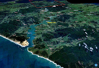
The Hokianga is an area surrounding the Hokianga Harbour, also known as the Hokianga River, a long estuarine drowned valley on the west coast in the north of the North Island of New Zealand.
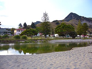
Tokomaru Bay is a small beachside community on the remote East Coast of New Zealand's North Island. It is 91 km north of Gisborne, on State Highway 35, and close to Mount Hikurangi. The district was originally known as Toka-a-Namu, which refers to the abundance of sandflies. Over the years the name was altered to Tokomaru Bay.

Murupara is a town in the Whakatāne District and Bay of Plenty Region of New Zealand's North Island. The town is in an isolated part of the region between the Kaingaroa Forest and Te Urewera protected area, on the banks of the Rangitaiki River, 65 kilometres southeast of Rotorua. Indigenous Māori also make up over 90% of the population.
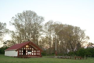
Ruatoria is a town in the Waiapu Valley of the Gisborne Region in the northeastern corner of New Zealand's North Island. The town was originally known as Cross Roads then Manutahi and was later named Ruatorea in 1913, after the Māori Master female grower Tōrea who had some of the finest storage pits in her Iwi at the time (Te-Rua-a-Tōrea). In 1925 the name was altered to "Ruatoria", although some texts retain the original spelling.

Ruatāhuna is a small town in the remote country of Te Urewera, in the northeast of New Zealand's North Island. It is 90 kilometres directly west of Gisborne, and 18 kilometres northwest of Lake Waikaremoana. By road, it is 50 kilometres south-east of Murupara, and 110 kilometres north-west of Wairoa. It is on the upper reaches of the Whakatāne River, and surrounded on three sides by the Te Urewera protected area, formerly the Te Urewera National Park. The road that runs from Murupara through Ruatahuna to Āniwaniwa on Lake Waikaremoana, a large part of which is unsealed, used to be designated as part of State Highway 38. It is a subdivision of the Galatea-Murupara ward of the Whakatāne District.

Ōpunake is a small town on the southwest coast of Taranaki in New Zealand's North Island. It is located 45 kilometres southwest of New Plymouth. Rahotu is 16 km to the northwest. Manaia is 29 km to the southeast. State Highway 45 passes through the town. The town has a population of 1,490.
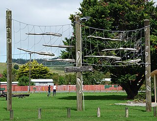
Moerewa is a small town in the Northland Region of the North Island of New Zealand. It is located close to the Bay of Islands five kilometres to the west of Kawakawa.

Ōtaki is a town in the Kāpiti Coast District of the North Island of New Zealand, situated halfway between the capital city Wellington, 70 km (43 mi) to the southwest, and Palmerston North, 70 km (43 mi) to the northeast.
Omanaia is a settlement in the Hokianga area of Northland, New Zealand. It is part of the Hokianga South statistical area, which covers the southern side of Hokianga Harbour between Rawene and Koutu. For demographics of this area, see Rawene.

Wharekahika or Hicks Bay is a bay and coastal area in the Gisborne District of the North Island of New Zealand. It is situated 150 km east of Ōpōtiki and 186 km north of Gisborne city, along State Highway 35 between Potaka and Te Araroa.
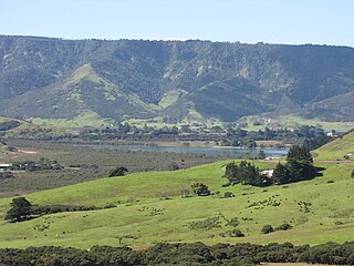
Whangape Harbour is a harbour on the west coast of Northland, New Zealand. There is a settlement called Whangape on the northern side of the harbour. Another, called Pawarenga, is located on the southern side. Kaitaia is 42 km north east.
Panguru is a community in the northern Hokianga harbour, in Northland, New Zealand. The Whakarapa Stream flows from the Panguru Range in the Warawara Forest to the west, through Panguru and into the Hokianga.
Waimā is a community in the south Hokianga area of Northland, New Zealand. State Highway 12 runs through the area. The Waima River flows through the Waima Valley into the Hokianga Harbour. Rawene is to the north west, and Kaikohe is to the north east.
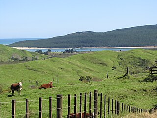
Te Rarawa is a Māori iwi of Northland, New Zealand. The iwi is one of six Muriwhenua iwi of the far north of the North Island.
Rangitukia is a small settlement 10 kilometres south of East Cape in the northeast of New Zealand's North Island. It is near the mouth of the Waiapu River.
Ruatoki North is a town in the eastern Bay of Plenty of New Zealand, just south of the small town of Tāneatua and approximately 20 km south of the city of Whakatāne. The Whakatāne River runs northwards through the Ruatoki Valley and has formed broad alluvial flats. The main settlement of Ruatoki North is on the eastern side of the river.
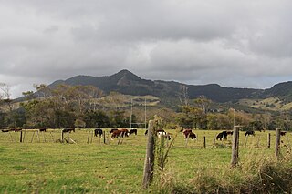
Waimamaku is a village and rural community, based along the banks of the Waimamaku River south of the Hokianga Harbour on the west coast of New Zealand's North Island. It is located in the Far North District and Northland Region on State Highway 12, south of Ōmāpere and north of Waipoua.
Mitimiti is a small settlement in Northland, New Zealand. It lies close to the Warawara Forest, between the mouths of the Whangape Harbour and Hokianga Harbour on Northland's west coast, 44 km west of Kohukohu. Mitimiti is part of the Hokianga North statistical area. For demographics of this area, see Panguru.

Ngāti Whātua o Kaipara is a Māori iwi (tribe) and hapū (sub-tribe) of New Zealand, which is part of the larger Ngāti Whātua iwi. The iwi's rohe is focused around the southern Kaipara Harbour in the Auckland Region of New Zealand. Ngāti Whātua have been present in the Kaipara Harbour since the arrival of the Māhuhu-ki-te-rangi migratory waka, gradually moving towards the north. By the 17th century, Ngāti Whātua reestablished a presence in the southern Kaipara Harbour.

Te Whaiti or Te Whāiti, formerly called Ahikereru, is a forested area in the Whakatāne District and Bay of Plenty Region of New Zealand's North Island. It is at the northern end of the Ahikereru valley – Minginui is at the southern end. The Whirinaki River flows through the valley.


