Related Research Articles
John Joseph William Molesworth Oxley was an explorer and surveyor of Australia in the early period of British colonisation. He served as Surveyor General of New South Wales and is perhaps best known for his two expeditions into the interior of New South Wales and his exploration of the Tweed River and the Brisbane River in what is now the state of Queensland.

The Murrumbidgee River is a major tributary of the Murray River within the Murray–Darling basin and the second longest river in Australia. It flows through the Australian state of New South Wales and the Australian Capital Territory, descending 1,500 metres (4,900 ft) over 1,485 kilometres (923 mi), generally in a west-northwesterly direction from the foot of Peppercorn Hill in the Fiery Range of the Snowy Mountains towards its confluence with the Murray River near Boundary Bend.

Major General Lachlan Macquarie, CB was a British Army officer and colonial administrator from Scotland. Macquarie served as the fifth Governor of New South Wales from 1810 to 1821, and had a leading role in the social, economic, and architectural development of the colony. He is considered by historians to have had a crucial influence on the transition of New South Wales from a penal colony to a free settlement and therefore to have played a major role in the shaping of Australian society in the early nineteenth century.
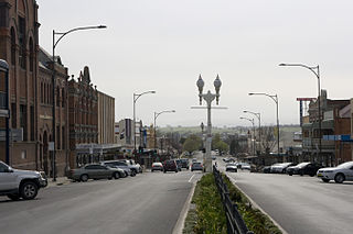
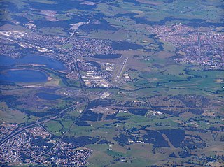
Bathurst is a city in the Central Tablelands of New South Wales, Australia. Bathurst is about 200 kilometres (120 mi) west-northwest of Sydney and is the seat of the Bathurst Regional Council. Bathurst is the oldest inland settlement in Australia and had a population of 37,191 in June 2019.

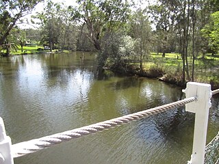
The Macquarie River or Wambuul is part of the Macquarie–Barwon catchment within the Murray–Darling basin, is one of the main inland rivers in New South Wales, Australia.
Cudgegong River, a perennial stream that is part of the Macquarie catchment within the Murray–Darling basin, is located in the central western and Orana districts of New South Wales, Australia.

Great Western Highway is a 202-kilometre-long (126 mi) state highway in New South Wales, Australia. From east to west, the highway links Sydney with Bathurst, on the state's Central Tablelands.
Ophir is the name of a locality in New South Wales, Australia in Cabonne Shire.
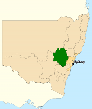
The Division of Calare is an Australian electoral division in the state of New South Wales.
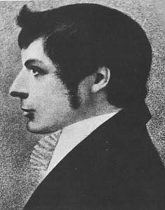
George William Evans was a surveyor and early explorer in the Colony of New South Wales. Evans was born in Warwick, England, migrating to Australia in October 1802.

Burrendong Dam is a rock-fill embankment major gated dam with a clay core across the Macquarie River upstream of Wellington in the central west region of New South Wales, Australia. The dam's purpose includes flood mitigation, irrigation, water supply and hydro-electric power generation. The dam impounds Lake Burrendong and is filled by the waters from the Macquarie, and Cudgegong rivers as well as Meroo Creek.
Neville is a small village in the south-east of New South Wales, Australia, in Blayney Shire. It is 60 km south west of Bathurst or about 16 km south-east of Mandurama. It is 940 metres above sea level and has a population of about 100.
Newbridge is a village of about 100 residents in New South Wales, Australia in Blayney Shire. It is approximately 30 km from Bathurst and 15 km from Blayney in the Central Tablelands of NSW. At the 2006 census, Newbridge had a population of 90 people.
Dora River is a watercourse that is located in Greater Newcastle in the Hunter region of New South Wales, Australia.
Macquarie Rivulet is a perennial river located in the Southern Highlands and Illawarra regions of New South Wales, Australia.

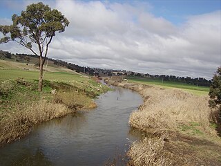
Fish River, a perennial stream that is part of the Macquarie catchment within the Murray–Darling basin, is located in the central western district of New South Wales, Australia. The Fish River is in Wiradjuri country and its indigenous name is Wambuul, which means "winding river".
Campbells River, a perennial stream that is part of the Upper Macquarie catchment within the Murray–Darling basin, is located in the central–western region of New South Wales, Australia.

Duckmaloi River, a perennial stream that is part of the Macquarie catchment within the Murray–Darling basin, is located in the Central Tablelands region of New South Wales, Australia.
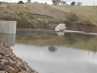
Ben Chifley Dam, or Chifley Dam, is a rock and earth-fill embankment dam across the Campbells River in the central west region of New South Wales, Australia. The main purpose of the dam is to supply potable water to the city of Bathurst.

The 1813 crossing of the Blue Mountains was the expedition led by Gregory Blaxland, William Lawson and William Charles Wentworth, which became the first successful crossing of the Blue Mountains in New South Wales by European settlers. The crossing enabled the settlers to access and use the land west of the mountains for farming, and made possible the establishment of Australia's first inland colonial settlement at Bathurst.
References
- ↑ "Winburndale Creek, State of New South Wales, Australia". Mindat.org . Retrieved 22 August 2023.
- 1 2 "Winburndale Rivulet". NSW Place and Road Naming Proposals System. Retrieved 22 August 2023.
33°12′S149°34′E / 33.200°S 149.567°E