
Pickwick Island is the largest of the Pitt Islands, in the Biscoe Islands, Antarctica. It is 9.45 km long in southwest–northeast direction, separated from Renaud Island on the southwest by Mraka Sound, and has its northeast coast indented by Misionis Bay.
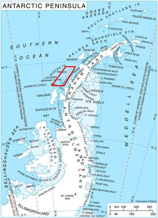
Kusev Point is the point forming the north extremity of Pickwick Island and the west side of the entrance to Misionis Bay in the Pitt group of Biscoe Islands, Antarctica.
Plakuder Point is the point on the east side of the entrance to Misionis Bay on the northeast coast of Pickwick Island in the Pitt group of Biscoe Islands, Antarctica.
Misionis Bay is the 1.6 km wide bay indenting for 2.35 km the northeast coast of Pickwick Island in the Pitt group of Biscoe Islands, Antarctica. It is entered east of Kusev Point and west of Plakuder Point.
Arrowsmith Island is a mostly ice-covered island in the Pitt group of Biscoe Islands, Antarctica. It is 2.53 km long in west-southwest to east-northeast direction and 900 m wide.

Alino Island is the predominantly ice-covered island in Biscoe Islands, Antarctica lying 1 kilometre (0.62 mi) south-southeast of Tula Point, Renaud Island. The feature is 1.2 kilometres (0.75 mi) long in southwest-northeast direction and 580 metres (0.36 mi) wide.
Mraka Sound is a roughly rectangular water body extending 5 km in southeast-northwest direction and 4.2 km in southwest-northeast direction in Biscoe Islands, Antarctica. It is bounded by Renaud Island on the south, Pickwick Island on the north and Winkle Island on the northeast.
Peperuda Island is the mostly ice-free island 592 m long in west-southwest to east-northeast direction and 309 m wide in the Wilhelm Archipelago, Antarctic Peninsula region. Its surface area is 9.51 ha.
Lamya Island is the partly ice-free island 1.56 km long in west–east direction and 630 m wide in the Dannebrog Islands group of Wilhelm Archipelago in the Antarctic Peninsula region. Its surface area is 45.72 ha.
Akula Island is the mostly ice-covered island 915 m long in west–east direction and 274 m wide in the Dannebrog Islands group of Wilhelm Archipelago in the Antarctic Peninsula region. Its surface area is 15.46 ha.
Stego Island is the mostly ice-covered island 2.07 km long in southwest–northeast direction and 820 m wide in the Dannebrog Islands group of Wilhelm Archipelago in the Antarctic Peninsula region. Its surface area is 93.32 ha.
Tsankov Island is the mostly ice-covered island 625 m long in west-southwest to west-northeast direction and 216 m wide in the Dannebrog Islands group of Wilhelm Archipelago in the Antarctic Peninsula region. Its surface area is 9.48 ha.
Bodloperka Island is the partly ice-free island 688 m long in south-southwest to north-northeast direction and 473 m wide in the Dannebrog Islands group of Wilhelm Archipelago in the Antarctic Peninsula region. Its surface area is 22.43 ha.
Revolver Island is the partly ice-free island 645 m long in southwest–northeast direction and 284 m wide in the Dannebrog Islands group of Wilhelm Archipelago in the Antarctic Peninsula region. Its surface area is 8.77 ha.
Hoatsin Island is the mostly ice-free island 795 m long in southeast–northwest direction and 360 m wide in the Dannebrog Islands group of Wilhelm Archipelago in the Antarctic Peninsula region. Its surface area is 16.85 ha.
Pegas Island is the partly ice-free island 987 m long in west-southwest to east-northeast direction and 703 m wide in the Dannebrog Islands group of Wilhelm Archipelago in the Antarctic Peninsula region. Its surface area is 29.21 ha.
Yastreb Island is the mostly ice-covered island 934 m long in west-southwest to east-northeast direction and 317 m wide in the Dannebrog Islands group of Wilhelm Archipelago in the Antarctic Peninsula region. Its surface area is 17.12 ha.
Lamantin Island is the partly ice-free island 812 m long in southwest–northeast direction and 318 m wide in the Dannebrog Islands group of Wilhelm Archipelago in the Antarctic Peninsula region. Its surface area is 15.8 ha.
Tyulen Island is the mostly ice-covered island 1 km long in west-southwest to east-northeast direction and 530 m wide in the Dannebrog Islands group of Wilhelm Archipelago in the Antarctic Peninsula region. Its surface area is 26.78 ha.
Meduza Island is the partly ice-covered island extending 670 m in southwest–northeast direction and 434 m in north–south direction in the Dannebrog Islands group of Wilhelm Archipelago in the Antarctic Peninsula region. Its surface area is 11.9 ha.


