
Bavaria, officially the Free State of Bavaria, is a landlocked federal state of Germany, occupying its southeastern corner. With an area of 70,550.19 square kilometres, Bavaria is the largest German state by land area comprising roughly a fifth of the total land area of Germany. With 13 million inhabitants, it is Germany's second-most-populous state after North Rhine-Westphalia. Bavaria's main cities are Munich, Nuremberg and Augsburg.

Swabia is one of the seven administrative regions of Bavaria, Germany.

Upper Austria is one of the nine states or Bundesländer of Austria. Its capital is Linz. Upper Austria borders on Germany and the Czech Republic, as well as on the other Austrian states of Lower Austria, Styria, and Salzburg. With an area of 11,982 km2 (4,626 sq mi) and 1.437 million inhabitants, Upper Austria is the fourth-largest Austrian state by land area and the third-largest by population.
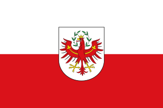
Tyrol is a federal state (Bundesland) in western Austria. It comprises the Austrian part of the historical Princely County of Tyrol. It is a constituent part of the present-day Euroregion Tyrol–South Tyrol–Trentino. The capital of Tyrol is Innsbruck.

Bavarian is a West Germanic language belonging to the Upper German group, spoken in the southeast of the German language area, much of Bavaria, most of Austria and South Tyrol in Italy, as well as Samnaun in Switzerland. Before 1945, Bavarian was also prevalent in parts of the southern Czech Republic and western Hungary. It forms a continuum of more or less mutually intelligible local and regional variants.

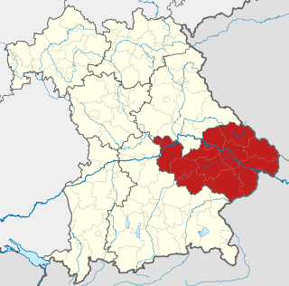
Upper Bavaria is one of the seven administrative districts of Bavaria, Germany.
Lower Bavaria is one of the seven administrative regions of Bavaria, Germany, located in the east of the state.

The Upper Palatinate is one of the seven administrative districts of Bavaria, Germany, located in the east of Bavaria.
Altötting is a Landkreis (district) in Bavaria, Germany. It is bounded by Austria and the Bavarian districts of Traunstein, Mühldorf and Rottal-Inn.

Bavarian Alps is a summarizing term of several mountain ranges of the Northern Limestone Alps in the German state of Bavaria.

Bavarians are an ethnographic group of Germans of the Bavaria region, a state within Germany. The group's dialect or speech is known as the Bavarian language, native to Altbayern, roughly the territory of the Electorate of Bavaria in the 17th century.
The Duchy of Bavaria was a frontier region in the southeastern part of the Merovingian kingdom from the sixth through the eighth century. It was settled by Bavarian tribes and ruled by dukes (duces) under Frankish overlordship. A new duchy was created from this area during the decline of the Carolingian Empire in the late ninth century. It became one of the stem duchies of the East Frankish realm which evolved as the Kingdom of Germany and the Holy Roman Empire.
Laber or Laaber is an element in Bavarian place names which goes back to the word Labera meaning "foaming water". The spellings Laber and Laaber are interchangeable in older texts, and are still not always consistently distinguished today. It may refer to:
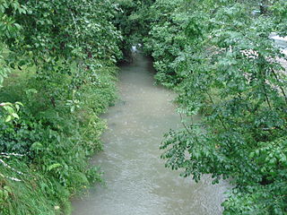
Bachhaupter Laber is a small river of Bavaria, Germany. At its confluence with the Wissinger Laber in Breitenbrunn, the Breitenbrunner Laber is formed.

Breitenbrunner Bach is a river of Bavaria, Germany. It flows into the Rosenbach in Sulzbach-Rosenberg.

Breitenbrunner Laber is a river of Bavaria, Germany. It is formed at the confluence of the Wissinger Laber and the Bachhaupter Laber in Breitenbrunn. It flows into the Weiße Laber near Dietfurt.

The Kleine Laber is a river in Bavaria, Germany. The Kleine Laber issues into the Große Laber, which issues into the Danube River.

Tannbach is a brook that is 8.7 kilometres (5.4 mi) long in north-east Bavaria and southern Thuringia, Germany.

Freihausen is a small village in the municipality of Seubersdorf in the German state of Bavaria. It is in the Upper Palatinate, in the Neumarkt district. It has a total population of 230 people.
