Wolcott, Kansas

Last updated

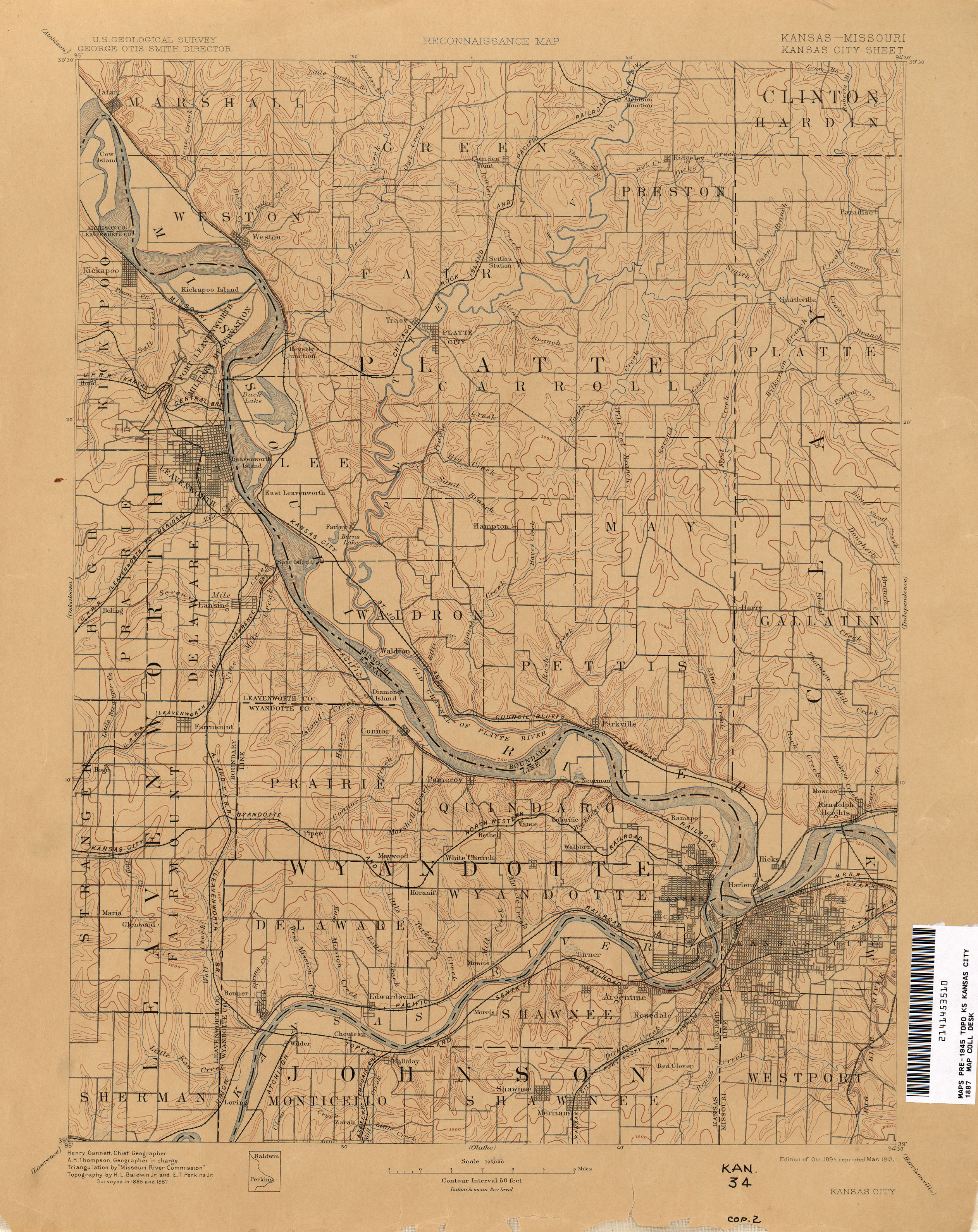
Wolcott is a neighborhood of Kansas City, Kansas, in the United States.

Kansas City, Kansas City and County seat in Kansas, United States

Kansas City is the third-largest city in the State of Kansas, the county seat of Wyandotte County, and the third-largest city of the Kansas City metropolitan area. Kansas City, Kansas is abbreviated as "KCK" to differentiate it from Kansas City, Missouri, after which it is named. It is part of a consolidated city-county government known as the "Unified Government". Wyandotte County also includes the independent cities of Bonner Springs and Edwardsville. As of the 2010 census, the city had a population of 145,786 residents. It is situated at Kaw Point, which is the junction of the Missouri and Kansas rivers.

Wolcott was originally called Connor, and under the latter name was platted as a village in 1868. When the railroad was extended to that point in 1902, it was renamed in honor of Herbert Wolcott, a railroad official. [1]

Plat scale map showing the divisions of a piece of land

In the United States, a plat is a map, drawn to scale, showing the divisions of a piece of land. United States General Land Office surveyors drafted township plats of Public Lands Surveys to show the distance and bearing between section corners, sometimes including topographic or vegetation information. City, town or village plats show subdivisions into blocks with streets and alleys. Further refinement often splits blocks into individual lots, usually for the purpose of selling the described lots; this has become known as subdivision.

Related Research Articles

Argentine, Kansas human settlement in Kansas City, Kansas, United States of America

Argentine is a community of Kansas City, Kansas, located in the southern part of Wyandotte County. It is bordered on the west by the Turner community, on the east by the Rosedale community, on the south by Johnson County, and on the north by Armourdale community and by the Kansas River.

Stilwell is an unincorporated community in Johnson County, Kansas, United States, and part of the Kansas City Metropolitan Area.

Moose River (New Hampshire) river in the United States of America

The Moose River is an 11.7 miles (18.8 km) long stream in northern New Hampshire in the United States. It is a tributary of the Androscoggin River, which flows south and east into Maine, joining the Kennebec River near the Atlantic Ocean.

Harry S. Truman Bridge

The Harry S Truman Bridge is a vertical lift rail drawbridge over the Missouri River connecting Jackson County, Missouri with Clay County, Missouri in Kansas City, Missouri. It has a 427 foot main span, and is the tenth longest span in the United States.

Lakeside Speedway is a dirt auto racing track located in Kansas City, Kansas. It features racing on a weekly basis from April to September in USRA Modified, USRA Stock Car, USRA B-Mod, Grand National and Factory Stock categories. Racing at the track is sanctioned by the United States Racing Association as part of the Summit Racing Equipment USRA Weekly Racing Series.

Sibley Railroad Bridge

The Sibley Railroad Bridge is a three-span through truss single-track railroad bridge belonging to the BNSF Railway between Jackson County, Missouri, and Ray County, Missouri, at Sibley. The bridge carries the BNSF Marceline Subdivision over the Missouri River. It is the only single-track segment of the subdivision. The original 1887-88 bridge was a three-span Whipple through truss and was later reconstructed with Parker through truss spans. Besides the freight trains of BNSF Railway, it is also used by Amtrak's Southwest Chief.

Castrocontrigo Place in Castile and León, Spain

Castrocontrigo is a municipality located in the province of León, Castile and León, Spain, 80 km far from the province capital. According to the 2010 census (INE), the municipality has a population of 917 inhabitants.

The 18th Street Expressway Bridge is a one level deck truss, four lane crossing of the Kansas River in Kansas City, Kansas. It was built in 1959, to replace the Argentine Bridge to the west. It also rises above the BNSF railroad tracks. It was damaged in 2000, after a BNSF train derailed and destroyed one of the piers, which caused the south approach span to buckle, and disabled it for several months while it was being repaired.

St. Joseph Swing Bridge

The St. Joseph Swing Bridge is a Union Pacific Railroad truss Swing bridge connecting St. Joseph, Missouri, and Elwood, Kansas.

The Belton, Grandview and Kansas City Railroad (SHRX) is short line passenger railroad and museum located in Belton, Missouri. It operates as a heritage railroad, on what was once the St. Louis and San Francisco Railway, on the Kansas City to Springfield branch. With the merger of the Frisco with the Burlington Northern, the line was partially sold to Kansas City Southern North of 155th Street, The north of the line is used once a year when tree trimming/weed spraying takes place, The tracks are bad but still can be used, The bridge is still there past Markey Road but with missing ties, With the southernmost portion from Peculiar, MO. to Clinton, MO. being scrapped and abandoned. This left the remaining trackage of a few miles connecting Grandview and Belton, Missouri. It currently operates a 1952 GM GP 9 locomotive, which is used to pull an excursion train. Also included in the collection are various locomotives, cars and equipment. The Belton, Grandview and Kansas City originally was the Smoky Hill Railway and Historical Society.

Rockfish, Virginia unincorporated community

Rockfish is an unincorporated community in Nelson County, Virginia, United States.

Mill Run is a 9.1-mile-long (14.6 km) tributary stream of the South Branch Potomac River, belonging to the Potomac River and Chesapeake Bay watersheds. The stream is located in Hampshire County in the Eastern Panhandle of the U.S. state of West Virginia. Mill Run rises on Nathaniel Mountain and flows northeast, then northwest into the South Branch south of Romney near Hampshire Park on South Branch River Road.

Kickapoo is an unincorporated community in Kickapoo Township, Leavenworth County, Kansas, USA.

Yale is an unincorporated community in Crawford County, Kansas, in the United States.

Fuller is an unincorporated community in Crawford County, Kansas, in the United States.

Wilder is an unincorporated community in Johnson County, Kansas, in the United States. Wilder is located at 39°02′35″N94°52′11″W.

Hyer Branch is a stream in Dent and Phelps counties in the Ozarks of Missouri. It is a tributary to the Dry Fork of the Meramec River.

Five Forks is an unincorporated community in Quincy Township in southeastern Franklin County, in the U.S. state of Pennsylvania.

Dzagikavan Place in Syunik, Armenia

Dzagikavan, is a village in the Kajaran Municipality of Syunik Province, Armenia. It was part of to the community of Lernadzor until the administrative reforms in June 2017.

References

  1. Morgan, Perl Wilbur (1911). History of Wyandotte County, Kansas: And Its People, Volume 1. The Lewis Publishing Company. p. 325.

Coordinates: 39°11′18″N94°48′5″W / 39.18833°N 94.80139°W / 39.18833; -94.80139

Geographic coordinate system Coordinate system

A geographic coordinate system is a coordinate system that enables every location on Earth to be specified by a set of numbers, letters or symbols. The coordinates are often chosen such that one of the numbers represents a vertical position and two or three of the numbers represent a horizontal position; alternatively, a geographic position may be expressed in a combined three-dimensional Cartesian vector. A common choice of coordinates is latitude, longitude and elevation. To specify a location on a plane requires a map projection.