
A municipality is usually a single administrative division having corporate status and powers of self-government or jurisdiction as granted by national and regional laws to which it is subordinate.
The municipalities of Puerto Rico are the second-order administrative divisions in the Commonwealth of Puerto Rico. There are 78 such administrative divisions covering all 78 incorporated towns and cities. Each municipality is led by a mayor and divided into barrios, though the latter are not vested with any political authority. Every municipality is governed by the Autonomous Municipalities Act of 1991, which establishes that every municipality must have an elected strong mayor with a municipal legislature as the form of government. Each legislature must be unicameral, with the number of members related to adequate representation of the total municipality's population. In contrast to other jurisdictions, both the mayors and the municipal legislators are elected on the same date and for the same term of office.
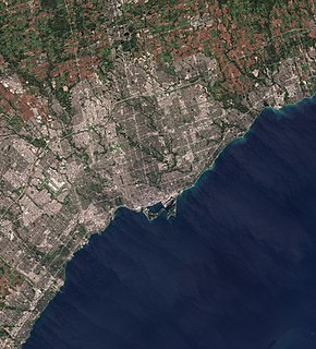
The Greater Toronto Area (GTA) is the most populous metropolitan area in Canada. It includes the City of Toronto and the regional municipalities of Durham, Halton, Peel, and York. In total, the region contains 25 urban, suburban, and rural municipalities. The Greater Toronto Area begins in Burlington in Halton Region, and extends along Lake Ontario past downtown Toronto eastward to Clarington in Durham Region.
A census-designated place (CDP) is a concentration of population defined by the United States Census Bureau for statistical purposes only. CDPs have been used in each decennial census since 1980 as the counterparts of incorporated places, such as self-governing cities, towns, and villages, for the purposes of gathering and correlating statistical data. CDPs are populated areas that generally include one officially designated but currently unincorporated community, for which the CDP is named, plus surrounding inhabited countryside of varying dimensions and, occasionally, other, smaller unincorporated communities as well. CDPs include small rural communities, edge cities, colonias located along the Mexico–United States border, and unincorporated resort and retirement communities and their environs.

A hamlet is a small human settlement. In different jurisdictions and geographies, a hamlet may be the size of a town, village or parish, or may be considered to be a smaller settlement or subdivision or satellite entity to a larger settlement. The word and concept of a hamlet have roots in the Anglo-Norman settlement of England, where the old French hamlet came to apply to small human settlements. In British geography, a hamlet is considered smaller than a village and distinctly without a church or other place of worship.

The territory of Lithuania is divided into 10 counties, all named after their capitals. The counties are divided into 60 municipalities : 9 city municipalities, 43 district municipalities and 8 municipalities. Each municipality is then divided into elderates. This division was created in 1994 and slightly modified in 2000.

Halifax, formally known as the Halifax Regional Municipality (HRM), is the capital and largest municipality of the Canadian province of Nova Scotia. It had a population of 403,131 in 2016, with 316,701 in the urban area centred on Halifax Harbour. As of July 2020, Statistics Canada estimated the population of the CMA at 448,544. The regional municipality consists of four former municipalities that were amalgamated in 1996: Halifax, Dartmouth, Bedford, and Halifax County.

Municipalities are the lowest level of official territorial division in Germany. This can be the second, third, fourth or fifth level of territorial division, depending on the status of the municipality and the Land it is part of. The city-states Berlin and Hamburg are second-level divisions. A Gemeinde is one level lower in those states which also include Regierungsbezirke as an intermediate territorial division. The Gemeinde is one level higher if it is not part of a Gemeindeverband.


