Lincoln is a town in Kewaunee County, Wisconsin, United States. The population was 957 at the 2000 census. The unincorporated communities of Lincoln and Rio Creek are located in the town. The unincorporated communities of Euren, Gregorville, and Rosiere are also located partially in the town.
Pepuza was an ancient town in Phrygia, Asia Minor. Coordinates of the central terrasse of the settlement: UTM 35 S 0714926/4253954 (WGS-84), 38,408˚ N, 29,4615˚ E.

V. Sue Cleveland High School or better known as Cleveland High School, (CHS) is a public senior high school of the Rio Rancho Public Schools. It is located in north-western Rio Rancho, New Mexico. Named after long time Rio Rancho Superintendent and educator of Public Schools, V. Sue Cleveland was established in 2009, due to overcrowding at Rio Rancho High School. Enrollment at the school stands at 2500
Châu Thành A is a rural district (huyện) of Hậu Giang province in the Mekong Delta region of Vietnam. In the wake of Government Decree 64/2000/ND-CP on November 6, 2000, Châu Thành A district, formerly of Cần Thơ, was reestablished by removing 22.139 km2 of land and 163,357 people from Châu Thành. At the time, Châu Thành A had eight administrative units, being Tân Thuận, Thạnh Xuân, Tân Hoà, Trường Long, Nhơn Ái, Nhơn Nghĩa, Trường Long Tây and Tân Phú Thạnh.

Gołyń is a village in the administrative district of Gmina Biała Rawska, within Rawa County, Łódź Voivodeship, in central Poland. It lies approximately 9 kilometres (6 mi) north-west of Biała Rawska, 15 km (9 mi) north-east of Rawa Mazowiecka, and 66 km (41 mi) east of the regional capital Łódź.
Zawada is a village in the administrative district of Gmina Olkusz, within Olkusz County, Lesser Poland Voivodeship, in southern Poland. It lies approximately 9 kilometres (6 mi) south-east of Olkusz and 28 km (17 mi) north-west of the regional capital Kraków.
Borków is a village in the administrative district of Gmina Pińczów, within Pińczów County, Świętokrzyskie Voivodeship, in south-central Poland. It lies approximately 9 kilometres (6 mi) east of Pińczów and 36 km (22 mi) south of the regional capital Kielce.
Ciszyca is a village in the administrative district of Gmina Koprzywnica, within Sandomierz County, Świętokrzyskie Voivodeship, in south-central Poland. It lies approximately 5 kilometres (3 mi) east of Koprzywnica, 14 km (9 mi) south-west of Sandomierz, and 80 km (50 mi) south-east of the regional capital Kielce.

Mishni is a village in the Kalbajar Rayon of Azerbaijan.
Czołowo-Kolonia is a village in the administrative district of Gmina Koło, within Koło County, Greater Poland Voivodeship, in west-central Poland.
Wierzchołek is a village in the administrative district of Gmina Zakrzewo, within Złotów County, Greater Poland Voivodeship, in west-central Poland. It lies approximately 6 kilometres (4 mi) east of Zakrzewo, 14 km (9 mi) east of Złotów, and 114 km (71 mi) north of the regional capital Poznań.

Cacimba de Dentro is a municipality in the state of Paraíba in northeastern Brazil. It is located in the mesoregion of Agreste Paraibano and the microregion of Western Curimataú, 160 km from the state capital, João Pessoa.
Żochowo is a village in the administrative district of Gmina Potęgowo, within Słupsk County, Pomeranian Voivodeship, in northern Poland. It lies approximately 6 kilometres (4 mi) south-west of Potęgowo, 25 km (16 mi) east of Słupsk, and 81 km (50 mi) west of the regional capital Gdańsk.
Niedziały is a village in the administrative district of Gmina Barciany, within Kętrzyn County, Warmian-Masurian Voivodeship, in northern Poland, close to the border with the Kaliningrad Oblast of Russia.
Grabiążek is a settlement in the administrative district of Gmina Barwice, within Szczecinek County, West Pomeranian Voivodeship, in north-western Poland. It lies approximately 5 kilometres (3 mi) south-east of Barwice, 19 km (12 mi) west of Szczecinek, and 126 km (78 mi) east of the regional capital Szczecin.
Shizhong District is a former district of the city of Jining in Shandong province, China. In November 2013 it was merged into Rencheng District.
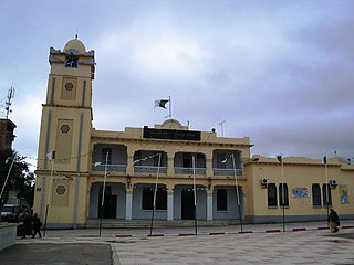
Kerker is a town and commune in the Mahdia Governorate, Tunisia. As of 2004 it had a population of 6,143.
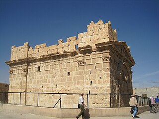
Dumeir, also Dumair, Damir and Dumayr is a city located 40 kilometers north-east of Damascus, Syria.
Cheshmeh Hadi is a village in Doruneh Rural District, Anabad District, Bardaskan County, Razavi Khorasan Province, Iran. At the 2006 census, its population was 123, in 24 families.
Empire City is an unincorporated community in Cherokee County, Kansas, in the United States. Empire City is located at 37°05′21″N94°38′31″W.