Related Research Articles

Magway Region is an administrative division in central Myanmar. It is the second largest of Myanmar's seven divisions, with an area of 44,820 km2. Pa Del Dam (ပဒဲဆည်) is one of the dams in Aunglan Township, Magway Division. The capital and second largest city of the Magway Division is Magway. The largest city is Pakokku. The major cities of Magway Division are Magway, Pakokku, Chauk, Aunglan, Yenangyaung, Taungdwingyi, Minbu, Thayet and Gangaw.

The Irrawaddy or, officially, Ayeyarwady River is a river that flows from north to south through Burma. It is the country's largest river and most important commercial waterway. Originating from the confluence of the N'mai and Mali rivers, it flows relatively straight North-South before emptying through the Irrawaddy Delta in the Ayeyarwady Region into the Andaman Sea. Its drainage basin of about 404,200 square kilometres (156,100 sq mi) covers a large part of Burma. After Rudyard Kipling's poem, it is sometimes referred to as 'The Road to Mandalay'.

Pakokku is a largest city in the Magway Region in Myanmar, also known as Burma. It is situated about 30 km north-east of Bagan on the Irrawaddy River. It is the administration seat of Pakokku Township, Pakokku District and Gangaw District. Pakokku Bridge is part of the India–Myanmar–Thailand Trilateral Highway and is the longest bridge in Myanmar.It is home of the Pakokku airport.

Thayet is a capital city in Thayet District of Magway Region in central Myanmar. It is a port on the right (western) bank of the Irrawaddy River, across and just south of Allanmyo, between Pyay (Prome) and Magway. Thayet is the administrative seat of both Thayet District and Thayet Township. As of 2010, the population was estimated at 108,000.
Taungdwingyi Township(Burmese: တောင်တွင်းကြီး မြို့နယ်) is a township of Magway District in the Magway Division of Myanmar. The principal town is Taungdwingyi. People have inhabited this area for thousands of years, and one of the earliest civilizations of Myanmar, Beikthano, the ancient Pyu city, is located near the town. The territorial area is planes, and rice, beans, grains, sugarcane, and other plants were grown there.
Natmauk Township is a township of Magway District in the Magway Division of Myanmar. The principal town is Natmauk. It is the place where General Aung San who is national hero of Myanmar and father of Aung San Su Kyi, was born.
Rail transport in Myanmar began in 1877. Three private rail companies were nationalised nineteen years later. During the Japanese occupation of Burma, Allied prisoners of war were forced to build the Burma Railway. Myanmar Railways has expanded its network somewhat since 1988.
The Burma Corps ('Burcorps') was an Army Corps of the Indian Army during World War II. It was formed in Prome, Burma, on 19 March 1942, took part in the retreat through Burma, and was disbanded on arrival in India in May 1942.
The Kyaw River is a river of upper Burma (Myanmar) in Magway Division. It is a major tributary of the Yaw River which it enters just below the town of Pauk.
Thayet Township is a township of Thayet District in the Magway Region of Burma (Myanmar). It lies on the west side of the Irrawaddy. The major town and administrative center is Thayet. Notable peaks are Mount Myinba (1688 ft.) and Mount Myinmagyi (1032 ft.).
Seikphyu Township is a township of Pakokku District in Magway Division of Burma (Myanmar). The principal town and administrative seat is Seikphyu. The township has its southeastern border along the Irrawaddy where its principal town, Seikphyu, is a port. The township lies between 20° 51' and 21° 15' north latitude and 94° 09' and 94° 48' east longitude. The Yaw River forms the township's eastern boundary. It is one of the areas destroyed by Cyclone Giri on 23 October 2010.
Kyaing is a village in Tilin Township, Gangaw District, in the north-western part of the Magway Region in Myanmar. Kyaing lies on the right (western) bank of the Ywa Chaung tributary of the Maw River.
Pakokku Township is a township of Pakokku District in Magway Division of Burma (Myanmar). The principal town and administrative seat is Pakokku. The township has its eastern and southeastern border along the Irrawaddy where its principal town, Pakokku, is a port. The Yaw River forms the township's southwest border. There is a commercial airport at Lanywa (Lan).
Seikphyu is the principal town and administrative seat for Seikphyu Township in Pakokku District in the Magway Division of Myanmar, on the right (western) bank of the Irrawaddy immediately below its confluence with the Yaw River. It is located across the Irrawaddy river from Chauk and is connected by Anawrahta Bridge. It is situated 34 kilometers south-south-west of ancient Bagan City and 44 kilometers from Nyaung U Airport.
Yesagyo Township is a township of Pakokku District in the Magway Region of central Burma (Myanmar). The principal town and administrative seat is Yesagyo.
Minhla is a town in Thayet District, Magway Region, of central Myanmar, on the right (west) bank of the Irrawaddy. It is the administrative seat of Minhla Township.
Neyinzaya River is a river in Chin State and Sagaing Region of Burma (Myanmar). It is a tributary of the Myittha River, enterring it from the left (west) just south of Kalemyo.
Yesagyo is a town in the Magway Division in Myanmar. It is situated on the Chindwin River, near the site where it flows into Irrawaddy River. It is the principal town and administrative seat of Yesagyo Township.Yesagyo is a second biggest city of Pakokku District.

Wethtigan Wildlife Sanctuary is a protected area in Myanmar's Magway Region with an area of 4.4 km2 (1.7 sq mi) at an elevation of 60–90 m (200–300 ft). It was established in 1939. The sanctuary's 2 km2 (0.77 sq mi) lake and surrounding marshland provide habitat for waterfowl and freshwater fish. It is located about 16 km (9.9 mi) west of the Irrawaddy River close to the city of Salin in Salin Township. It receives south-west monsoon rains of about 723 mm (28.5 in) per year from June to August. It is one of four protected wetlands in the country.
References
- ↑ "Yin Chaung". GEOnet Names Server . United States National Geospatial-Intelligence Agency.
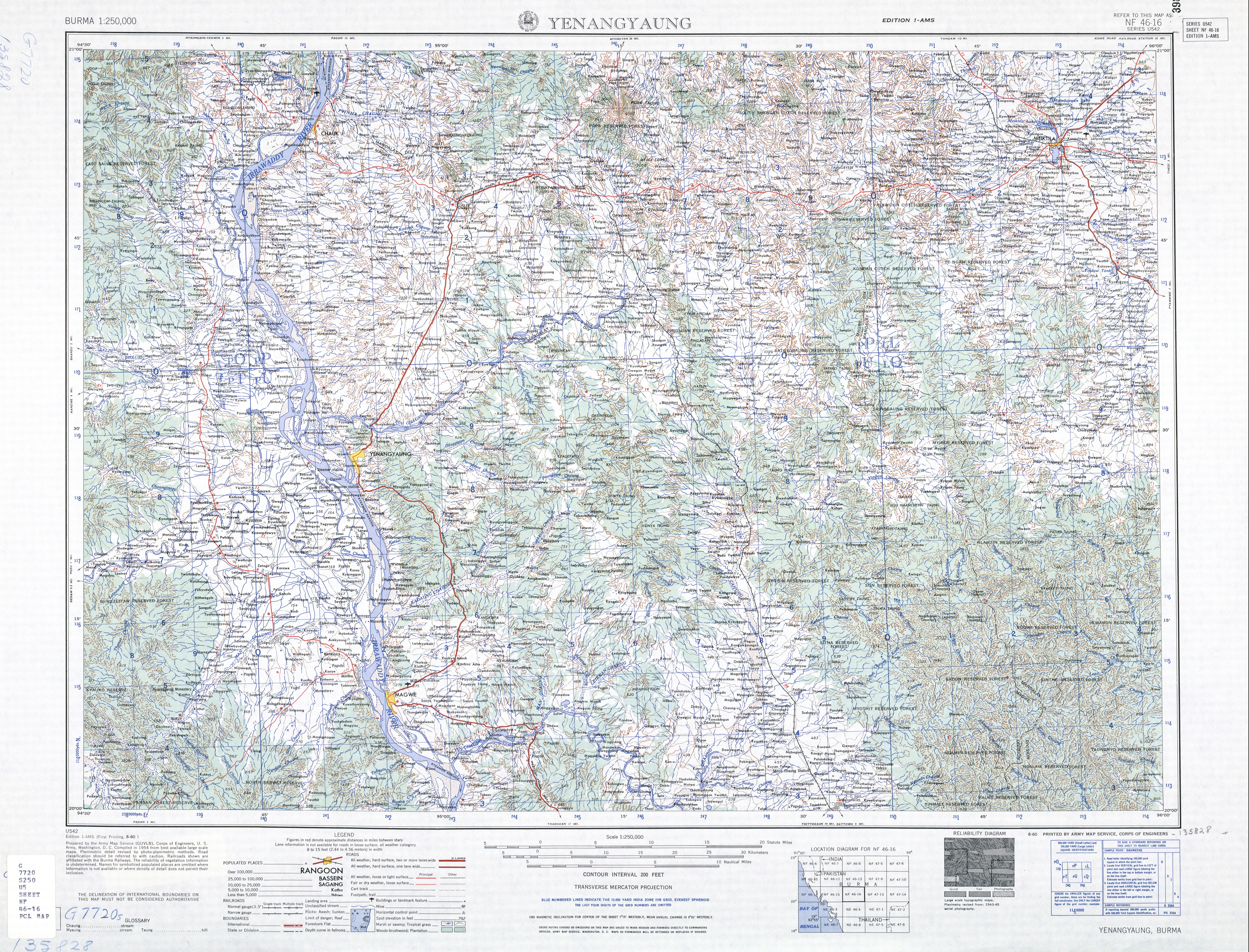
- 1 2 Burma 1:250,000 topographic map, Series U542, NF 46-16 Yenangyaung U.S. Army Map Service, August 1960
| This article related to a river in Myanmar is a stub. You can help Wikipedia by expanding it. |