This article does not cite any sources .(January 2020) (Learn how and when to remove this template message) |
| Bank Street | |
|---|---|
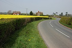 The B4212 through the village | |
 Bank Street Location within Worcestershire | |
| OS grid reference | SO636625 |
| • London | 116 miles (187 km) |
| Civil parish |
|
| District | |
| Shire county | |
| Region | |
| Country | England |
| Sovereign state | United Kingdom |
| Post town | TENBURY WELLS |
| Postcode district | WR15 |
| Dialling code | 01886 |
| Police | West Mercia |
| Fire | Hereford and Worcester |
| Ambulance | West Midlands |
| EU Parliament | West Midlands |
Bank Street is a village in Malvern Hills District, Worcestershire, England.
| This Worcestershire location article is a stub. You can help Wikipedia by expanding it. |