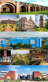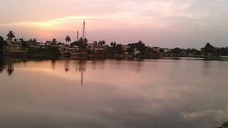
Katihar is a city situated in the eastern part of the state of Bihar in India. It is the regional headquarter of Katihar district. It is one of the important cities of Bihar. Also it's a main route of Delhi - Guwahati railway line. Local news channel is KTR NEWS
Madhepura is a municipality in Madhepura district in the Indian state of Bihar.

Purnia (also romanized as Purnea) is a city that serves as the administrative headquarters of both Purnia district and Purnia division in the Indian state of Bihar.

Saharsa is a city in the Saharsa district in the eastern part of the state of Bihar, India. It is situated near the eastern banks of the Kosi River. It serves as the administrative headquarters for Saharsa District and is also the of the Kosi Division.
Supaul is a town and a municipality that is headquarters of Supaul district in the Indian state of Bihar. Supaul is the administrative headquarters of this district.

Madhepura district is one of the thirty-eight districts of Bihar state, India, and Madhepura town is the administrative headquarters of this district. Madhepura district is a part of Kosi division.

Katihar district is one of the thirty-eight districts of Bihar state in India, and Katihar city is the administrative headquarters of this district. The district is a part of Purnia Division. It is prominently known for its Katihar Junction Railway Station, which is a Category A station on the Barauni–Guwahati line. It has been included in the Aspirational Districts Program of the Government of India since 2018, to improve its socio-economic indicators.

Saharsa is one of the thirty-eight districts of Bihar, India. Saharsa city is the administrative headquarters of this district. Saharsa district is a part of the Kosi Division and it became a district on 1 April 1954 and has subsequently become smaller with other districts being carved from it, most notably Madhepura in 1981.

Malda or English Bazar is a city in the Indian state of West Bengal. It is the sixth largest city in West Bengal. It is the headquarters of the Malda district as well as of the Malda division of West Bengal. It consists of two municipalities, viz. English Bazar Municipality and Old Malda Municipality, under Malda Metropolitan Area. The city is located on the banks of the Mahananda River. Malda was an undeveloped city which was enlarging from 1925 to 1930. The city is growing rapidly nowadays with its population inching towards half a million.

Dalkhola is a city and a municipality of Uttar Dinajpur district in the state of West Bengal, India.

Forbesganj is a city with municipality in the Araria District in the state of Bihar, India, situated at the border of Nepal.

Jogbani is a town, a notified area in Araria District of Bihar state, India. It lies on the Indo-Nepal border with Morang District, Koshi Zone and is a gateway to Biratnagar city. There is a customs checkpoint for goods at the border. Indian and Nepalese nationals cross without restrictions.
Kaliaganj is a city and a municipality in Uttar Dinajpur district in the Indian state of West Bengal.
Naugachia is a town and a notified area in Bhagalpur district in the Indian state of Bihar. It is a block and a division of the Bhagalpur district and also a police district.

Singur is a census town in Singur CD Block in Chandannagore subdivision of Hooghly district in the Indian state of West Bengal.

Kasba is a satellite town of Purnia city and part of Purnia Urban Agglomeration in Purnia district in the Indian state of Mithila region of Bihar.
Khiddirpur, is a village and gram panchayat in Bikapur tehsil, Faizabad district in the state of Uttar Pradesh, India. Khiddirpur is very near from Chaure Bazar, Ayodhya. Khiddirpur is 43 km south of district headquarters Ayodhya city.

Purnea Junction railway station, is the railway station serving the city of Purnea in the Purnea district in the Indian state of Bihar. It is a A category railway station of Katihar railway division in Northeast Frontier Railway.
Dagarua (Dagarwa) is a town and a notified area in Purnia district (Purnea) in the Indian state of Bihar. It is a block and village panchayat located near NH 31 in Purnia. It is situated 15 km East of Purnia City. It comes under seemanchal region. It consists of one police station. It has a total population of 2,21,229 in which male are 1,14,933 and female population of 1,06,296 and children is 45,940. It has a literacy rate of 37.39%. It has sex-ratio of 48 out of 52 males.
Barhara Kothi railway station is a small railway station on Banmankhi–Bihariganj branch line of Barauni–Katihar section. It is located in Purnia district, Bihar, India. Its code is BAKT. It serves Barhara Kothi village. The station consists of one platform.


