Spondon is a ward of the city of Derby, in the ceremonial county of Derbyshire, England. Originally a small village, Spondon dates back to the Domesday Book and it became heavily industrialised in the 19th and early 20th centuries, with companies such as British Celanese.

South Derbyshire is a local government district in Derbyshire, England. The district covers the towns of Melbourne and Swadlincote as well as numerous villages and hamlets such as Hilton, Hatton, Etwall, Aston-on-Trent, Repton, Weston-on-Trent and Willington. About a third of the National Forest lies within the district.

Normanton is an inner city suburb and ward of the city of Derby in Derbyshire, England, situated approximately 2 miles (3.2 km) south of the city centre. Neighbouring suburbs include Littleover, Pear Tree, Rose Hill and Sunny Hill. The original village of Normanton-by-Derby, which now forms the southern part of the suburb, dates back to the medieval period. As the Normanton area became rapidly urbanised in the 19th century, the New Normanton area to the north was developed for housing, linking the old village to Derby, into which it was eventually absorbed. The area is characterised by high density late 19th century terraced housing in New Normanton and mid-20th century housing estates elsewhere, and has the most ethnically diverse population in Derby. The Normanton ward had a population of 17,071 in 2011.

Chellaston is a suburban village on the southern outskirts of Derby, in Derbyshire, England.

Chaddesden, also known locally as Chadd, is a large residential suburb of Derby, in the ceremonial county of Derbyshire, England. Historically a separate village centred on Chaddesden Hall and the 14th century St Mary's Church, the area was significantly expanded by 20th-century housing developments, and became part of the then County Borough of Derby in 1968, prior to Derby's city status in 1977.

Alvaston is a village and ward of Derby, in the ceremonial county of Derbyshire, England. Alvaston is on the A6 three miles south-east of Derby city centre and probably owes its name to an individual called Ælfwald.

Allenton is a small suburb of the city of Derby, England, situated about three miles south of the city centre. It is located between the suburbs of Osmaston, Boulton, Alvaston and Shelton Lock, and is within the Alvaston South ward. Allenton has a high footfall, with a variety of modern shops, stores and other facilities, including free parking. The suburb has its own busy market every Friday and Saturday located on Osmaston Road.

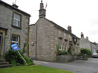
Great Longstone with Little Longstone is one of two villages in the local government district of Derbyshire Dales in Derbyshire, England. The population as taken at the 2011 Census was 843.
Sunny Hill is a southern suburb of the city of Derby, England, situated mainly along the Stenson Road. It lies between the Derby City districts of Normanton and Littleover, and, to the south, Sinfin, and the parish of Stenson Fields in South Derbyshire district.

Twyford and Stenson is a civil parish in the South Derbyshire district of Derbyshire, England. Located south of Derby on the Trent and Mersey Canal, it consists of two villages, Stenson and its smaller neighbour Twyford.

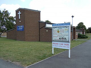
Sinfin is a suburb of Derby, England, 3 miles (4.8 km) southwest of the city centre on its southern outskirts. The ward, which includes Osmaston as well as Sinfin itself, had a population of 15,128 in 2011. Historically, Sinfin and Osmaston were separate villages before being swallowed up by the expansion of Derby. Osmaston is characterised by inter-war housing developments while much of the housing in Sinfin is post-war. Between the two suburbs lies a more industrialised area dominated by the Rolls-Royce works.

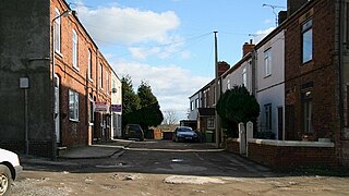
Pilsley is a village and civil parish in the district of North East Derbyshire in the county of Derbyshire, England. It is located near to the town of Chesterfield. At the 2011 Census the population was 3,487.

Draycott and Church Wilne is a civil parish within the Borough of Erewash, which is in the county of Derbyshire, England. Partially built up and otherwise rural, its population was 3,090 residents in the 2011 census. The parish is 100 miles (160 km) north west of London, 5+1⁄2 miles (8.9 km) south east of the county city of Derby, and 3 miles (4.8 km) west of the nearest market town of Long Eaton. It shares a boundary with the parishes of Breaston, Elvaston, Hopwell, Ockbrook and Borrowash, Risley and Shardlow and Great Wilne.

Elvaston is a small village and civil parish in Derbyshire, England. The parish also includes two hamlets, Ambaston and Thulston, and a modern housing estate, Boulton Moor. The population of the civil parish taken at the 2011 Census was 1,801.

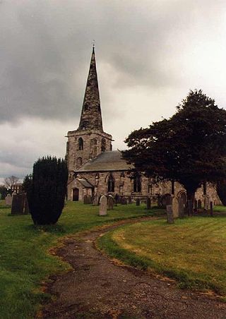
Marston on Dove is a village and civil parish in South Derbyshire, nine miles (14 km) south west of Derby and two miles (3.2 km) east of Tutbury. The Church of St Mary at Marston has the oldest bell in Derbyshire, which was cast in Leicester in 1366 and inscribed with the words "Hail Mary" by John de Stafford.

St Wilfrid’s Church, Barrow upon Trent is a Grade I listed parish church in the Church of England in Barrow upon Trent, Derbyshire.

Boulton St Mary's is the Church of England parish church for the Boulton ward of Derby. It is located on Boulton Lane, Alvaston, Derby, Derbyshire, England. It is part of the Diocese of Derby. The church is dedicated to Saint Mary. The church is believed to date back to Norman times and is still in regular ecclesiastical use today.
The Hundreds of Derbyshire were the geographic divisions of the historic county of Derbyshire for administrative, military and judicial purposes. They were established in Derbyshire some time before the Norman conquest. In the Domesday Survey of 1086 AD the hundreds were called wapentakes. By 1273 the county was divided into 8 hundreds with some later combined, becoming 6 hundreds over the following centuries. The Local Government Act 1894 replaced hundreds with districts. Derbyshire is now divided into 8 administrative boroughs within the Derbyshire County Council area.

Holymoorside and Walton is a civil parish within the North East Derbyshire district, which is in the county of Derbyshire, England. Named for its main settlements, with a mix of a number of villages and hamlets amongst a large rural area, it had a population of 2,138 residents in 2021. The parish is 130 miles (210 km) north west of London, 20 miles (32 km) north of the county city of Derby, and 2 miles (3.2 km) south west of the nearest market town of Chesterfield. It is adjacent with the Peak District national park to the west, and shares a border with the district of Chesterfield, along with the parishes of Ashover, Beeley, Brampton as well as Wingerworth. The parish paradoxically does not include the majority of the nearby built-up suburb of Walton, Chesterfield which is now within an adjacent unparished area of the borough.
Alvaston South is an electoral ward in the city of Derby, England. The ward contains four listed buildings that are recorded in the National Heritage List for England. Of these, one is listed at Grade II*, the middle of the three grades, and the others are at Grade II, the lowest grade. The ward is a suburb of Derby to the southeast of its centre, and is largely residential. The listed buildings consist of a church, two houses, and stables and outbuildings.


