Clonmel, Kansas | |
|---|---|
 St. John the Evangelist Church (2018) | |
 | |
 Clonmel  Clonmel | |
| Coordinates: 37°33′46″N97°33′14″W / 37.56278°N 97.55389°W [1] | |
| Country | United States |
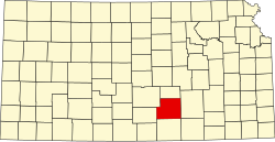
| State | Kansas |
| County | Sedgwick |
| Township | Illinois |
| Elevation | 1,371 ft (418 m) |
| Time zone | UTC-6 (CST) |
| • Summer (DST) | UTC-5 (CDT) |
| ZIP code | 67149 |
| Area code | 620 |
| FIPS code | 20-14375 [1] |
| GNIS ID | 484677 [1] |
Clonmel is an unincorporated community in Illinois Township, Sedgwick County, Kansas, United States. [1] It is located at Highway K42 and W 71st St S.