| Site of Special Scientific Interest | |
 | |
 Location within Somerset | |
| Area of Search | Somerset |
|---|---|
| Grid reference | ST703345 |
| Coordinates | 51°06′32″N2°25′32″W / 51.10902°N 2.42562°W Coordinates: 51°06′32″N2°25′32″W / 51.10902°N 2.42562°W |
| Interest | Biological |
| Area | 60.7 hectares (0.607 km2; 0.234 sq mi) |
| Notification | 1987 |
| Natural England website | |
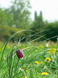
Cogley Wood (grid reference ST703345 ) is a 60.7 hectare biological Site of Special Scientific Interest east of Bruton in Somerset, notified in 1987.

The Ordnance Survey National Grid reference system is a system of geographic grid references used in Great Britain, distinct from latitude and longitude. It is often called British National Grid (BNG).

The hectare is an SI accepted metric system unit of area equal to a square with 100-metre sides, or 10,000 m2, and is primarily used in the measurement of land. There are 100 hectares in one square kilometre. An acre is about 0.405 hectare and one hectare contains about 2.47 acres.
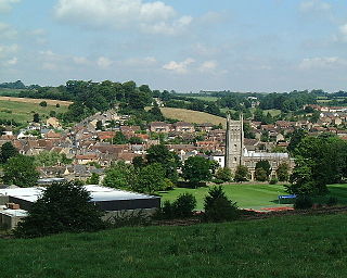
Bruton is a small town, electoral ward, and civil parish in Somerset, England, situated on the River Brue along the A359 between Frome and Yeovil. It is 7 miles south-east of Shepton Mallet, just south of Snakelake Hill and Coombe Hill, 10 miles north-west of Gillingham and 12 miles south-west of Frome in the South Somerset district. The town and electoral ward have a population of 2,907. The parish includes the hamlets of Wyke Champflower and Redlynch.
The name is believed to be from cock ley meaning a clearing with birds. [1]
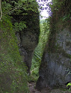
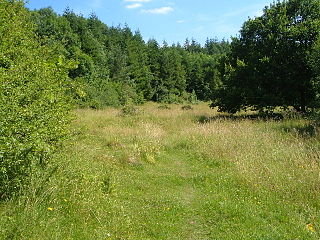
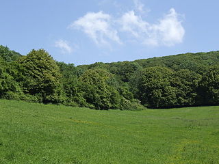
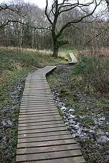
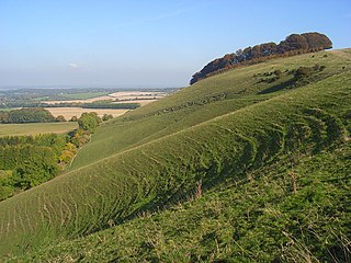
The wood is situated on the eastern slopes of the upper reaches of the Brue valley, with several of its tributaries having their sources in the wood which is made up of two extensive areas of species-rich, semi-natural ancient woodland with an exceptionally rich butterfly fauna.

The River Brue originates in the parish of Brewham in Somerset, England, and reaches the sea some 50 kilometres (31 mi) west at Burnham-on-Sea. It originally took a different route from Glastonbury to the sea, but this was changed by Glastonbury Abbey in the twelfth century. The river provides an important drainage route for water from a low-lying area which is prone to flooding which man has tried to manage through rhynes, canals, artificial rivers and sluices for centuries.
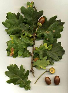
The trees include ash ( Fraxinus excelsior ), pedunculate oak ( Quercus robur ), wych elm ( Ulmus glabra ) and wild cherry ( Prunus avium ). Beneath them are dog's mercury ( Mercurialis perennis ) and common bluebell ( Hyacinthoides non-scripta ). Other plants of interest include greater butterfly-orchid ( Platanthera chlorantha ) and meadow saffron ( Colchicum autumnale ). [2]
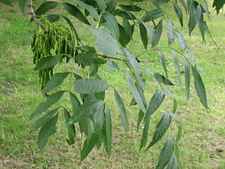
Fraxinus excelsior, known as the ash, or European ash or common ash to distinguish it from other types of ash, is a flowering plant species in the olive family Oleaceae. It is native throughout mainland Europe east to the Caucasus and Alborz mountains. The northernmost location is in the Trondheimsfjord region of Norway. The species is widely cultivated and reportedly naturalised in New Zealand and in scattered locales in the United States and Canada.
Quercus robur, commonly known as common oak, pedunculate oak, European oak or English oak, is a species of flowering plant in the beech and oak family, Fagaceae. It is native to most of Europe west of the Caucasus. The tree is widely cultivated in temperate regions and has escaped into the wild in scattered parts of China and North America.

Ulmus glabra, the wych elm, Scotch elm or Scots elm, has the widest range of the European elm species, from Ireland eastwards to the Urals, and from the Arctic Circle south to the mountains of the Peloponnese in Greece; it is also found in Iran. A large, deciduous tree, it is essentially a montane species, growing at elevations of up to 1500 m, preferring sites with moist soils and high humidity. The tree can form pure forests in Scandinavia and occurs as far north as latitude 67°N at Beiarn in Norway. Wych elm has also been successfully introduced to Narsarsuaq, near the southern tip of Greenland (61°N).
36 species of resident breeding butterflies have been recorded including marsh fritillary (Euphydryas aurinia), high brown fritillary (Argynnis cydippe), brown hairstreak (Thecla betulae), Duke of Burgundy (Hamearis lucina) and purple emperor (Apatura iris). [2]

The marsh fritillary is a butterfly of the family Nymphalidae. Commonly distributed in the Palearctic region, the marsh fritillary got its common name due to its habitat: marshy, damp wetlands and grasslands. The prolonged larval stage lasts for approximately seven to eight months and includes a period of hibernation over the winter. The larvae are dependent on the host food plant Succisa pratensis not only for feeding but also for hibernation, because silken webs are formed on the host plant as the gregarious larvae enter hibernation. Because female butterflies lay eggs in batches on the host plant, females are selective about the location of oviposition. The cost of laying the batches of eggs at an unfavorable location is high and extensive.

Argynnis adippe, the high brown fritillary, is a large and brightly colored butterfly of the family Nymphalidae, native to Europe and across the Palearctic to Japan. It is known for being Great Britain's most threatened butterfly and is listed as a vulnerable species under the Wildlife and Countryside Act 1981. Like other fritillaries it is dependent on warm climates with violet rich flora.

The brown hairstreak is a butterfly in the family Lycaenidae. The range includes most of the Palaearctic.