| Compton Unified School District | |
|---|---|
 | |
| Address | |
501 S. Santa Fe Avenue Compton , California, 90221United States | |
| Coordinates | 33°53′29″N118°13′00″W / 33.89139°N 118.21667°W |
| District information | |
| Grades | Pre-kindergarten – 12 |
| Superintendent | Darin Brawley |
| Budget | 455.705 Million [1] |
| NCES District ID | 0609620 [1] |
| Students and staff | |
| Enrollment | 16,738 (2023–24) [1] |
| Faculty | 696.86 (FTE) [1] |
| Staff | 1,062.02 (FTE) [1] |
| Student–teacher ratio | 24.02 [1] |
| Other information | |
| Website | compton.k12.ca.us |
Compton Unified School District is a school district headquartered in Compton, California, United States.
Contents
- History
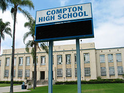
- Schools
- Continuation schools
- Secondary schools
- Primary schools
- See also
- References
- External links
The district serves almost all of Compton, all of East Rancho Dominguez, most of Willowbrook CDP, portions of Carson, Lynwood, West Rancho Dominguez CDP, and a small sliver of Paramount. [2]