Dade City North, Florida

Last updated
Dade City North, Florida
CDP
Pasco County Florida Incorporated and Unincorporated areas Dade City North Highlighted.svg
Location in Pasco County and the state of Florida
Coordinates: 28°22′41″N82°11′52″W / 28.37806°N 82.19778°W / 28.37806; -82.19778
Country United States
State Florida
County Pasco
Area
[1]
  Total1.55 sq mi (4.02 km2)
  Land1.55 sq mi (4.01 km2)
  Water0.00 sq mi (0.01 km2)
Population
 (2020)
  Total3,002
  Density1,938.02/sq mi (748.31/km2)
Time zone UTC-5 (Eastern (EST))
  Summer (DST) UTC-4 (EDT)
FIPS code 12-16175 [2]

Dade City North is a census-designated place (CDP) in eastern Pasco County, Florida, United States. The population was 3,319 at the 2000 census.

Contents

Geography

Dade City North is located at 28°22′41″N82°11′52″W / 28.37806°N 82.19778°W / 28.37806; -82.19778 (28.378059, -82.197878). [3]

According to the United States Census Bureau, the CDP has a total area of 1.8 square miles (4.7 km2), of which, 1.8 square miles (4.7 km2) of it is land and 0.04 square miles (0.10 km2) of it (1.09%) is water.

Demographics

Historical population
CensusPop.Note
1970 1,837
1980 3,15171.5%
1990 3,058−3.0%
2000 3,3198.5%
2020 3,002
source: [4]

As of the census [2] of 2000, there were 3,319 people, 910 households, and 663 families residing in the CDP. The population density was 1,824.2 inhabitants per square mile (704.3/km2). There were 1,017 housing units at an average density of 559.0 per square mile (215.8/km2). The racial makeup of the CDP was 55.05% White, 10.79% African American, 0.48% Native American, 0.12% Asian, 0.06% Pacific Islander, 29.77% from other races, and 3.74% from two or more races. Hispanic or Latino of any race were 56.49% of the population.

There were 910 households, out of which 43.5% had children under the age of 18 living with them, 45.9% were married couples living together, 17.1% had a female householder with no husband present, and 27.1% were non-families. 19.2% of all households were made up of individuals, and 8.8% had someone living alone who was 65 years of age or older. The average household size was 3.39 and the average family size was 3.81.

In the CDP, the population was spread out, with 33.1% under the age of 18, 14.9% from 18 to 24, 29.3% from 25 to 44, 16.1% from 45 to 64, and 6.7% who were 65 years of age or older. The median age was 26 years. For every 100 females, there were 121.3 males. For every 100 females age 18 and over, there were 125.8 males.

The median income for a household in the CDP was $25,000, and the median income for a family was $25,987. Males had a median income of $18,817 versus $17,393 for females. The per capita income for the CDP was $10,129. About 22.7% of families and 29.1% of the population were below the poverty line, including 36.3% of those under age 18 and 20.6% of those age 65 or over.

Related Research Articles

<span class="mw-page-title-main">Tillmans Corner, Alabama</span> Unincorporated community in Alabama, United States

Tillmans Corner is an unincorporated community and census-designated place (CDP) in Mobile County, Alabama, United States. At the 2020 census, the population was 17,731. It is a part of the Mobile metropolitan area.
<span class="mw-page-title-main">Ridge Manor, Florida</span> Census-designated place in Florida, United States

Ridge Manor is a census-designated place (CDP) in Hernando County, Florida, United States. The population was 4,513 at the 2010 census.

<span class="mw-page-title-main">Coral Terrace, Florida</span> Census-designated place in Florida, United States

Coral Terrace is a suburban unincorporated community and census-designated place (CDP) in Miami-Dade County, Florida, United States. The population was 23,142 at the 2020 census, down from 24,376 in 2010.

<span class="mw-page-title-main">Golden Glades, Florida</span> Census-designated place in Florida, United States

Golden Glades is a census-designated place (CDP) in Miami-Dade County, Florida, United States. The population was 32,499 at the 2020 census.

<span class="mw-page-title-main">Kendall West, Florida</span> Census-designated place in Florida, United States

Kendall West is a census-designated place and unincorporated community in Miami-Dade County, Florida, west of the Florida Turnpike. The population was 36,536 at the 2020 census.
<span class="mw-page-title-main">Olympia Heights, Florida</span> Census-designated place in Florida, United States

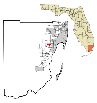
Olympia Heights is a census-designated place in Miami-Dade County, Florida, United States. The population was 12,873 at the 2020 census.

<span class="mw-page-title-main">Palm Springs North, Florida</span> Census-designated place in Florida, United States

Palm Springs North is an unincorporated community and census-designated place (CDP) in Miami-Dade County, Florida, United States. The population was 5,030 at the 2020 census.

<span class="mw-page-title-main">Palmetto Estates, Florida</span> Census-designated place in Florida, United States

Palmetto Estates is an unincorporated area and census-designated place (CDP) in Miami-Dade County, Florida, United States. The population was 13,498 at the 2020 census.
<span class="mw-page-title-main">Pinewood, Florida</span> Census-designated place in Florida, United States

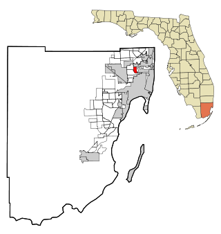
Pinewood is an unincorporated community and census-designated place (CDP) in Miami-Dade County, Florida, United States. The population was 17,246 at the 2020 census.

<span class="mw-page-title-main">Richmond Heights, Florida</span> Census-designated place in Florida, United States

Richmond Heights is a census-designated place (CDP) in Miami-Dade County, Florida, United States. The population was 8,944 at the 2020 census.
<span class="mw-page-title-main">The Hammocks, Florida</span> Census-designated place in Florida, United States

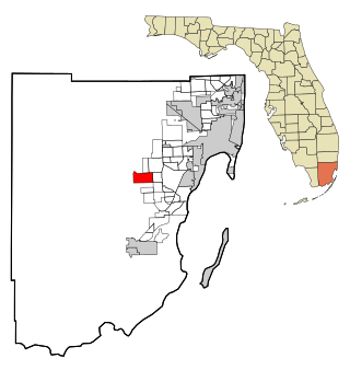
The Hammocks is a planned community and census-designated place in Miami-Dade County, Florida, United States. The population was 59,480 at the 2020 census, up from 51,003 in 2010.
<span class="mw-page-title-main">Three Lakes, Florida</span> Census-designated place in Florida, United States

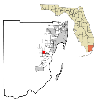
Three Lakes is a census-designated place (CDP) in Miami-Dade County, Florida, United States. The population was 16,540 at the 2020 census, up from 15,047 in 2010. Its name comes from the planned community of Three Lakes, which is located inside Three Lakes CDP boundaries.

<span class="mw-page-title-main">Westwood Lakes, Florida</span> Census-designated place in Florida, United States

Westwood Lakes is a census-designated place and unincorporated part of Miami-Dade County, Florida, United States. The population was 11,373 at the 2020 census.

<span class="mw-page-title-main">Gasport, New York</span> CDP & hamlet in New York, United States

Gasport is a hamlet located in the Town of Royalton in Niagara County, New York, United States. The population was 1,248 at the 2010 census. The name is derived from observed natural gas and the historic Erie Canal port at that location. It is part of the Buffalo–Niagara Falls Metropolitan Statistical Area.
<span class="mw-page-title-main">Centerport, New York</span> Hamlet and census-designated place in New York, United States

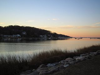
Centerport is a hamlet and census-designated place (CDP) in Suffolk County, New York, United States, on the notably affluent North Shore of Long Island, historically known as the Gold Coast. Formerly known as Little Cow Harbor in about 1700, as Centerport in 1836, and as Centerport after 1895, the name refers to its geographic position midway between the east and west boundaries of the town of Huntington.

<span class="mw-page-title-main">Leach, Oklahoma</span> Census-designated place in Oklahoma, United States

Leach is an unincorporated community and census-designated place (CDP) in southwestern Delaware County, Oklahoma, United States, along U.S. Route 412 and 412 Alternate. The population was 237 at the 2010 census.

<span class="mw-page-title-main">Twin Oaks, Oklahoma</span> Census-designated place in Oklahoma, United States

Twin Oaks is an unincorporated community and census-designated place (CDP) in Delaware County, Oklahoma, United States. The population was 198 at the 2010 census. A tornado hit the town on March 12, 2006, destroying 36 homes and damaging 31 others. 8 people were injured.

<span class="mw-page-title-main">Keokee, Virginia</span> Census-designated place in Virginia, United States

Keokee is an unincorporated community and census-designated place (CDP) in Lee County, Virginia, United States. The population was 416 at the 2010 census.

<span class="mw-page-title-main">Waldoboro (CDP), Maine</span> Census-designated place in Maine, United States

Waldoboro is a census-designated place (CDP) comprising the central village in the town of Waldoboro in Lincoln County, Maine, United States. The population was 1,300 at the 2020 census, out of 5,075 people in the entire town of Waldoboro.

<span class="mw-page-title-main">Thomaston (CDP), Connecticut</span> Census-designated place in Connecticut, United States

Thomaston is a census-designated place (CDP) in Litchfield County, Connecticut, United States. It comprises the downtown portion of the town of Thomaston. As of the 2010 census, the population of the CDP was 1,910, out of 7,887 in the entire town.

References

  1. "2020 U.S. Gazetteer Files". United States Census Bureau. Retrieved October 31, 2021.
  2. 1 2 "U.S. Census website". United States Census Bureau . Retrieved 2008-01-31.
  3. "US Gazetteer files: 2010, 2000, and 1990". United States Census Bureau. 2011-02-12. Retrieved 2011-04-23.
  4. "CENSUS OF POPULATION AND HOUSING (1790-2000)". U.S. Census Bureau . Retrieved 2010-07-18.