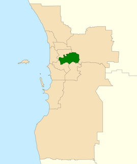
The Division of Swan is an Australian electoral division located in Western Australia.

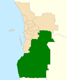
The Division of Canning is an Australian Electoral Division in Western Australia.

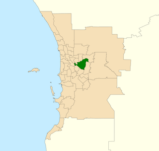
The Division of Hasluck is an electoral division of the Australian House of Representatives, located in Western Australia.

Tonkin Highway is an 81-kilometre-long (50 mi) north–south highway and partial freeway in Perth, Western Australia, linking Perth Airport and Kewdale with the city's north-eastern and south-eastern suburbs. As of April 2020, the northern terminus is at the interchange with Brand Highway and Great Northern Highway in Muchea, and the southern terminus is at Thomas Road in Oakford. It forms the entire length of State Route 4, and connects to several major roads. Besides Brand Highway and Great Northern Highway, it also connects to Reid Highway, Great Eastern Highway, Leach Highway, Roe Highway, and Albany Highway.

Belmont is an electoral district of the Legislative Assembly in the Australian state of Western Australia. Belmont is named for the inner eastern Perth suburb of Belmont, which falls within its borders.

Darling Range is an electoral district of the Legislative Assembly in the Australian state of Western Australia.
Kenwick was an electoral district of the Legislative Assembly in the Australian state of Western Australia from 1989 to 1996 and again from 2005 to 2008.
Serpentine-Jarrahdale was an electoral district of the Legislative Assembly in the Australian state of Western Australia from 2005 to 2008.

Southern River is an electoral district of the Legislative Assembly in the state of Western Australia.

Mandurah is an electoral district of the Legislative Assembly in the Australian state of Western Australia.
The electoral district of Canning was an electorate in the state of Western Australia. The electorate, which was named for the Canning River which ran through it, was first contested at the 1897 election, but was abolished prior to the 1901 election, with most of its territory transferred to the new seat of South Perth. However, for the 1904 election, South Perth was abolished and Canning re-created. Canning was abolished for a second time in the 1988 redistribution.
Gosnells was an electoral district of the Legislative Assembly of Western Australia. It was in existence from 1977 to 1989 and from 2008 to 2017. The seat was named after the suburb of Gosnells, and was located in Perth's southeastern suburbs. Gosnells was a safe seat for the Labor Party for most of its existence.

Thornlie is an electoral district of the Legislative Assembly of Western Australia. It is located in Perth's southeastern suburbs, and is named after the suburb of Thornlie.
Roleystone was an electoral district of the Legislative Assembly in the Australian state of Western Australia from 1989 to 2005.

Kalamunda is an electoral district of the Legislative Assembly in the Australian state of Western Australia.
Beeloo was an electoral district of the Legislative Assembly in the Australian state of Western Australia from 1956 to 1968. Beeloo was named after the Beeloo, a subgroup of the Whadjuk Nyungar people, who inhabited an area that later became the south eastern suburbs of Perth, south of the Swan and east of the Canning, prior to European settlement.

Cannington is an electoral district of the Legislative Assembly in the Australian state of Western Australia.

West Swan is an electoral district of the Legislative Assembly in the Australian state of Western Australia. It is located in the north-eastern suburbs of Perth.
Abernethy Road is a 14.7-kilometre (9.1 mi) long minor arterial road linking Belmont with the Great Eastern Highway Bypass in Hazelmere, a suburb of Perth, Western Australia.

The Division of Burt is an Australian electoral division in Perth in the state of Western Australia.


