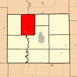
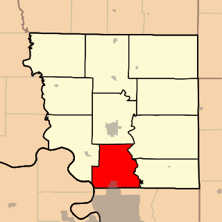
Clay Township is one of ten townships in Adair County, Missouri, United States. As of the 2010 census, its population was 626. It is named in honor of Kentucky politician Henry Clay.

Morrow Township is one of ten townships in Adair County, Missouri, United States. As of the 2010 census, its population was 431. It is named for John Morrow, one of Adair County's original judges.
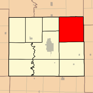
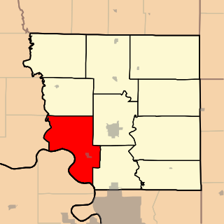
Nineveh Township is one of ten townships in Adair County, Missouri, United States. As of the 2010 census, its population was 1,289. The township is named from the town of Nineveh, a German communistic colony that was established in the area in about 1850.

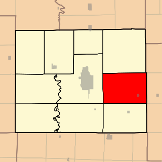
Pettis Township is one of ten townships in Adair County, Missouri, United States. As of the 2010 census, its population was 795. It is named for former US Congressman Spencer Pettis, who represented Missouri from 1829 to 1831 until being killed in a duel.
Salt River Township is one of ten townships in Adair County, Missouri, United States. As of the 2010 census, its population was 1,043. Salt River Township was named from one its principal streams.

Benton Township is one of ten townships in Andrew County, Missouri, United States. As of the 2010 census, its population was 1,020.
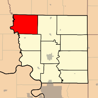
Clay Township is one of ten townships in Andrew County, Missouri, United States. As of the 2010 census, its population was 259.
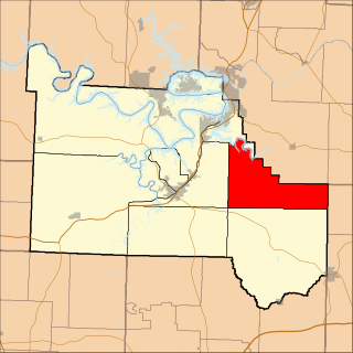
Jefferson Township is one of ten townships in Andrew County, Missouri, United States. As of the 2010 census, its population was 4,646.
Lincoln Township is one of ten townships in Andrew County, Missouri, United States. As of the 2010 census, its population was 1,184.

Nodaway Township is one of ten townships in Andrew County, Missouri, United States. As of the 2010 census, its population was 6,738.

Platte Township is one of ten townships in Andrew County, Missouri, United States. As of the 2010 census, its population was 426.

Rochester Township is one of ten townships in Andrew County, Missouri, United States. As of the 2010 census, its population was 1,182.

Clark Township is one of eleven townships in Atchison County, Missouri, United States. As of the 2010 census, its population was 895.

Lincoln Township is one of eleven townships in Atchison County, Missouri, United States. As of the 2010 census, its population was 378.

Polk Township is one of eleven townships in Atchison County, Missouri, United States. As of the 2010 census, its population was 226.

Tarkio Township is one of eleven townships in Atchison County, Missouri, United States. As of the 2010 census, its population was 1,752.

Prairie Township is one of eight townships in Audrain County, Missouri, United States. As of the 2010 census, its population was 932.

South Fork Township is one of eight townships in Audrain County, Missouri, United States. As of the 2010 census, its population was 5,431.

Wilson Township is one of eight townships in Audrain County, Missouri, United States. As of the 2010 census, its population was 1,633.
Jackson Township is one of eleven townships in Camden County, Missouri, USA. As of the 2000 census, its population was 663.

