Beckley and Stowood is a civil parish in the South Oxfordshire district of Oxfordshire, England. According to the United Kingdom Census 2011 it had a population of 608 across its area of 9.17km². It is centred 3 miles (4.8 km) north-east of Oxford and just over 1 mile (1.6 km) west of the M40 motorway. The parish settlements are Beckley and Stowood which is covered in the Beckley article, long being closely associated.
Blenheim is a civil parish in West Oxfordshire, England, about 7 miles (11 km) north of Oxford. It includes Blenheim Palace.
Abingdon was a rural district in the administrative county of Berkshire from 1894 to 1974.
St Helen Without is a civil parish in the Vale of White Horse district in the English county of Oxfordshire. In 1974 it was transferred from Berkshire. It is immediately west of Abingdon and includes the villages of Dry Sandford and Shippon. A large part of the parish is occupied by Dalton Barracks and its associated airfield. According to the 2001 census the parish had a population of 2,623.

Drayton is a village and civil parish about 2 miles (3 km) south of Abingdon, Oxfordshire. It was part of Berkshire until the 1974 boundary changes transferred it to Oxfordshire. The parish includes the hamlet of Sutton Wick. The 2011 Census recorded the parish population as 2,353.
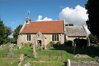
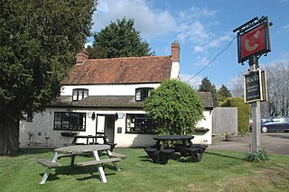
Fencott and Murcott is a civil parish about 4 miles (6 km) south of Bicester in the Cherwell district of Oxfordshire, England.
Wootton is a village and civil parish in the Vale of White Horse about 3 miles (5 km) north-west of Abingdon. It was part of Berkshire until the 1974 boundary changes transferred it to Oxfordshire. The parish of Wootton includes the hamlets of Henwood and Lamborough Hill and the western part of Boars Hill. The 2011 Census recorded the parish's population as 2,709.
The A415 is a British A road which runs from the A4074 at Berinsfield, Oxfordshire (51.6591°N 1.1762°W), to Witney (51.7852°N 1.4965°W), passing through Abingdon, Marcham and Kingston Bagpuize. It crosses the River Thames twice, at Abingdon Bridge and Newbridge.

Netherton is a hamlet in Fyfield and Tubney civil parish about 4.5 miles (7 km) west of Abingdon. It was part of Berkshire until the 1974 boundary changes transferred it to Oxfordshire.

Marcham is a village and civil parish about 2 miles (3 km) west of Abingdon, Oxfordshire. The 2011 Census recorded the parish's population as 1,905.

Andersey Island is a 273-acre (110.5 ha) area of flood-meadow and former flood-meadow south-east of Abingdon Bridge, Abingdon, Oxfordshire on the reach above Culham Lock in which parish it lies however maintaining close links with Abingdon by virtue of its current amenities. It is the second-largest island of the non-tidal course of the River Thames in England upstream of the Tideway — if disqualifying the villages of Dorney and Eton, Berkshire enclosed by the engineered Jubilee River. Andersey means Andrew's island after its chapel to St Andrew, demolished, built about 1050 CE.
Fyfield is a small hamlet about 1 mile (1.6 km) east of Pewsey, Wiltshire, England.
Eaton is a hamlet about 4.5 miles (7 km) west of Oxford and about 5 miles (8 km) northwest of Abingdon. Eaton is in the civil parish of Appleton-with-Eaton, which is traditionally part of Berkshire, and now in the ceremonial county of Oxfordshire.

Ardington and Lockinge are two civil parishes within the Vale of White Horse district, centred about 2 miles (3 km) east of Wantage, Oxfordshire, that share a parish council.
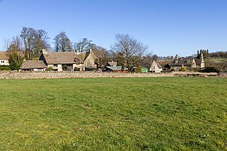
Over Norton is a village and civil parish within the West Oxfordshire district, about 1 mile (2 km) north of Chipping Norton, Oxfordshire, England.
Worton is a civil parish in the West Oxfordshire district about 7 miles (11 km) south of Banbury. It was formed in 1932 by the merger of the parishes of Nether Worton and Over Worton, each of which is a small village.