Harrell Shale

Last updated
Harrell Shale Group
Stratigraphic range: Frasnian
Type Group
Sub-units Burket Shale [1]
Underlies Brallier Formation, Sonyea Formation, Trimmers Rock Formation
Overlies Mahantango Formation, Millboro Shale, and Tully Limestone
Lithology
Primary shale, sandstone
Location
Region Appalachian Mountains
CountryUnited States
Type section
Named byCharles Butts, 1918 [2]

The Devonian Harrell Formation is a mapped bedrock unit in Pennsylvania, Maryland, West Virginia, and Virginia.

Contents

Description

The Harrell Formation was first described by Charles Butts in 1918. Hasson and Dennison (1978) state "The Harrell Shale consists of very dark gray, thinly laminated, platy- to sheety-weathering shale underlain in certain areas by the grayish black shale of the Burket Member." [3]

Fossils

Hasson and Dennison reported the following fossils from several outcrops of the Harrell: [3]

Notable Exposures

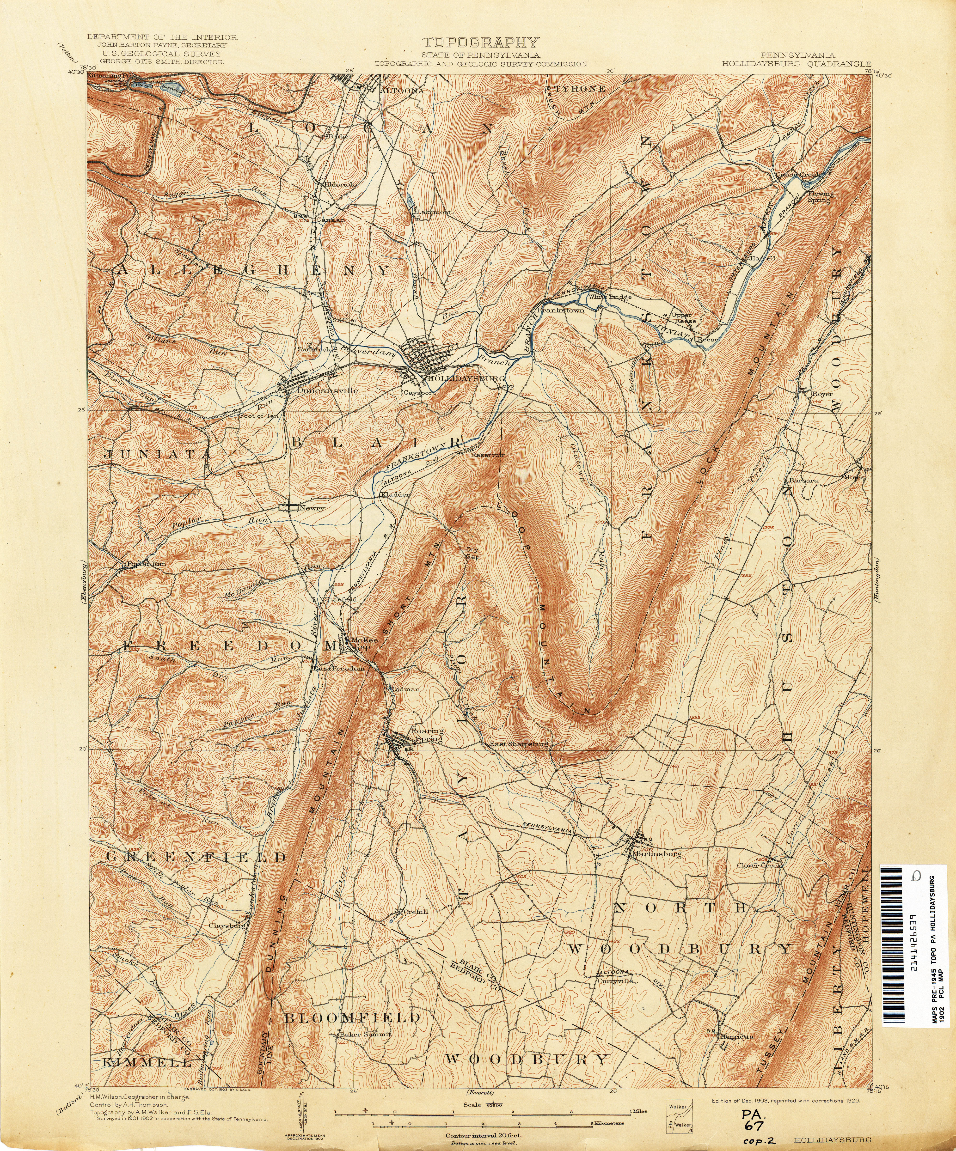
Type locality is at Horrell Station, Blair County, Pennsylvania ( 40°27′N78°17′W / 40.450°N 78.283°W / 40.450; -78.283 ). [2] In 1918, when Butts described and named the type section, the USGS topo map spelled the location "Harrell", [4] but the local spelling was "Horrell". [5] [6]

Age

Relative age dating places the Harrell in the late Devonian.

Related Research Articles

<span class="mw-page-title-main">Bloomsburg Formation</span>

The Silurian Bloomsburg Formation is a mapped bedrock unit in Pennsylvania, New Jersey, New York and Maryland. It is named for the town of Bloomsburg, Pennsylvania, in which it was first described. The Bloomsburg marked the first occurrence of red sedimentary rocks in the Appalachian Basin.

<span class="mw-page-title-main">Tuscarora Sandstone</span> Bedrock unit in Pennsylvania, Maryland, West Virginia, and Virginia, US

The Silurian Tuscarora Formation — also known as Tuscarora Sandstone or Tuscarora Quartzite — is a mapped bedrock unit in Pennsylvania, Maryland, West Virginia, and Virginia, US.

<span class="mw-page-title-main">Hamilton Group</span> Geological Group in North America

The Hamilton Group is a Devonian-age geological group which is located in the Appalachian region of the United States. It is present in New York, Pennsylvania, Maryland, Ohio, West Virginia, northwestern Virginia and Ontario, Canada, and is mainly composed of marine shale with some sandstone.

The Devonian Mahantango Formation is a mapped bedrock unit in Pennsylvania, West Virginia, and Maryland. It is named for the North branch of the Mahantango Creek in Perry and Juniata counties in Pennsylvania. It is a member of the Hamilton Group, along with the underlying the Marcellus Formation Shale. South of Tuscarora Mountain in south central Pennsylvania, the lower members of this unit were also mapped as the Montebello Formation. Details of the type section and of stratigraphic nomenclature for this unit as used by the U.S. Geological Survey are available on-line at the National Geologic Map Database.

<span class="mw-page-title-main">Marcellus Formation</span> Middle Devonian age unit of sedimentary rock

The Marcellus Formation or the Marcellus Shale is a Middle Devonian age unit of sedimentary rock found in eastern North America. Named for a distinctive outcrop near the village of Marcellus, New York, in the United States, it extends throughout much of the Appalachian Basin.

<span class="mw-page-title-main">Huntley Mountain Formation</span> Bedrock unit in Pennsylvania, United States

The Huntley Mountain Formation is a late Devonian and early Mississippian mapped bedrock unit in Pennsylvania, in the United States.

<span class="mw-page-title-main">Bedford Shale</span> Geological formation in the United States

The Bedford Shale is a shale geologic formation in the states of Ohio, Michigan, Pennsylvania, Kentucky, West Virginia, and Virginia in the United States.

<span class="mw-page-title-main">Old Port Formation</span>

The Devonian Old Port Formation is a mapped bedrock unit in Pennsylvania, USA. Details of the type section and of stratigraphic nomenclature for this unit as used by the U.S. Geological Survey are available on-line at the National Geologic Map Database. Current nomenclature usage by U.S. Geological Survey restricts the name Old Port Formation to Pennsylvania, but correlative units are present in adjacent states.

<span class="mw-page-title-main">Keyser Formation</span>

The Late Silurian to Early Devonian Keyser Formation is a mapped limestone bedrock unit in Pennsylvania, Maryland, Virginia, and West Virginia.

The Devonian Scherr Formation is a mapped bedrock unit in Pennsylvania, Maryland, Virginia and West Virginia.

<span class="mw-page-title-main">Foreknobs Formation</span> Geological formation in the United States

The Devonian Foreknobs Formation is a mapped bedrock unit in Pennsylvania, Maryland, Virginia, and West Virginia.

<span class="mw-page-title-main">Rockwell Formation</span>

The Rockwell Formation is a late Devonian and early Mississippian mapped bedrock unit in West Virginia, Maryland, and Pennsylvania, in the United States.

<span class="mw-page-title-main">Warrior Formation</span>

The Cambrian Warrior Formation is a mapped limestone bedrock unit in Pennsylvania.

<span class="mw-page-title-main">Glenshaw Formation</span> Geological formation in the United States

The Glenshaw Formation is a mapped sedimentary bedrock unit in Pennsylvania, Maryland, West Virginia, and Ohio, of Pennsylvanian age. It is the lower of two formations in the Conemaugh Group, the upper being the Casselman Formation. The boundary between these two units is the top of the marine Ames Limestone. The Conemaugh Group overlies the Upper Freeport coal bed of the Allegheny Formation and underlies the Pittsburgh coal seam of the Monongahela Group.

The Devonian Needmore Formation or Needmore Shale is a mapped bedrock unit in Pennsylvania, Maryland, Virginia, and West Virginia.

<span class="mw-page-title-main">Brallier Formation</span> Geologic formation in the United States

The Devonian Brallier Formation is a mapped bedrock unit in Pennsylvania, Maryland, West Virginia, and Virginia.

<span class="mw-page-title-main">Sonyea Formation</span> Geologic group

The Sonyea Group is a geologic group in the northern part of the Appalachian Basin. It preserves fossils dating back to the Devonian period.

The Mansfield Natural Gas Field is located west of Mansfield, Ohio, within the Appalachian foreland basin. The field is 1.5 miles (2.4 km) long by 1.4 miles (2.3 km) wide and is in a general oval shape, stretching northward. This field, although small, is an analog for many of the natural gas fields that occur within the Appalachian Basin. It was first discovered by the Pan American Petroleum and Transport Company in the early 1930s. It is part of the Utica – Lower Paleozoic system, which is estimated to make up 15 to 20 percent of the total hydrocarbon abundance of the Appalachian Basin.

The Burket Shale or Geneseo Shale is the lowest member of the Harrell Shale/Genessee Group.

The Genesee Formation (Group) is a geologic formation in New York. It is equivalent the Harrell Shale in Pennsylvania. It date back to the Upper Devonian period. It is the basal unit of the Frasnian and Upper Devonian period. The Genesee Formation was defined by de Witt and Colton, 1959 as all strata between the Middlesex Unit of the Sonyea Group and the Tully Formation, where present or the Moscow Formation where the Tully is not present.

References

  1. de Witt, Wallace, Jr., Roen, J.B., and Wallace, L.G., 1993, Stratigraphy of Devonian black shales and associated rocks in the Appalachian basin, IN Roen, J.B., and Kepferle, R.C., eds., Petroleum geology of the Devonian and Mississippian black shale of eastern North America: U.S. Geological Survey Bulletin, 1909-B, p. B1-B57.
  2. 1 2 Butts, Charles, 1918, Geologic section of Blair and Huntingdon Counties, central Pennsylvania: American Journal of Science, 4th series, v. 46, p. 523-537.
  3. 1 2 Hasson, Kenneth O., and Dennison, John M., 1978, STRATIGRAPHY OF THE DEVONIAN HARRELL AND MILLBORO SHALES IN PARTS OF PENNSYLVANIA, MARYLAND, WEST VIRGINIA, AND VIRGINIA, Project Final Report for Energy Research and Development Administration Contract #EY-77-C-21-8153, May 1978
  4. "Topography : State of Pennsylvania". Department of the Interior. 1920.
  5. "Another McAbee plant explosion". The Pittsburgh Post. 18 August 1904. p. 5.
  6. "Blair County Pennsylvania Railroad Stations".