Leeds, Wisconsin

Last updated

Leeds, Wisconsin
WIMap-doton-Leeds.png
Location of Leeds, Wisconsin
Coordinates: 43°19′43″N89°18′56″W / 43.32861°N 89.31556°W / 43.32861; -89.31556
Country Flag of the United States.svg  United States
State Flag of Wisconsin.svg  Wisconsin
County Columbia
Area
  Total35.8 sq mi (92.7 km2)
  Land35.5 sq mi (92.0 km2)
  Water0.3 sq mi (0.7 km2)
Elevation
[1]
1,063 ft (324 m)
Population
 (2000)
  Total813
  Density22.9/sq mi (8.8/km2)
Time zone UTC-6 (Central (CST))
  Summer (DST) UTC-5 (CDT)
FIPS code 55-43125 [2]
GNIS feature ID1583538 [1]
Website http://www.townofleeds.org/

Leeds is a town in Columbia County, Wisconsin, United States. The population was 813 at the 2000 census. The unincorporated communities of Keyeser, Leeds, Leeds Center, and North Leeds are located in the town. The town took its name from the city of Leeds, England.

Contents

Geography

According to the United States Census Bureau, the town has a total area of 35.8 square miles (92.7 km2), of which, 35.5 square miles (92.0 km2) of it is land and 0.3 square miles (0.7 km2) of it (0.78%) is water.

US 51 runs north and south through this unincorporated town.

Demographics

As of the census [2] of 2000, there were 813 people, 309 households, and 238 families residing in the town. The population density was 22.9 people per square mile (8.8/km2). There were 317 housing units at an average density of 8.9 per square mile (3.4/km2). The racial makeup of the town was 98.40% White, 0.12% Native American, 1.11% from other races, and 0.37% from two or more races. Hispanic or Latino of any race were 1.85% of the population.

There were 309 households, out of which 32.7% had children under the age of 18 living with them, 66.0% were married couples living together, 5.2% had a female householder with no husband present, and 22.7% were non-families. 18.8% of all households were made up of individuals, and 7.4% had someone living alone who was 65 years of age or older. The average household size was 2.63 and the average family size was 2.98.

In the town, the population was spread out, with 24.7% under the age of 18, 6.2% from 18 to 24, 31.2% from 25 to 44, 24.6% from 45 to 64, and 13.3% who were 65 years of age or older. The median age was 40 years. For every 100 females, there were 111.2 males. For every 100 females age 18 and over, there were 107.5 males.

The median income for a household in the town was $51,750, and the median income for a family was $56,719. Males had a median income of $34,808 versus $30,000 for females. The per capita income for the town was $22,205. About 2.1% of families and 2.8% of the population were below the poverty line, including none of those under age 18 and 13.3% of those age 65 or over.

Notable people

Related Research Articles

<span class="mw-page-title-main">Leeds, Maine</span> Town in the state of Maine, United States

Leeds is a town in Androscoggin County, Maine, United States. The population was 2,262 at the 2020 census. It is included in both the Lewiston-Auburn, Maine Metropolitan Statistical Area and the Lewiston-Auburn, Maine Metropolitan New England City and Town Area.

<span class="mw-page-title-main">Windsor, Maine</span> Town in the state of Maine, United States

Windsor is a town in Kennebec County, Maine, United States. The population was 2,632 at the 2020 census. Windsor is included in the Augusta, Maine micropolitan New England City and Town Area.

<span class="mw-page-title-main">Caswell, Wisconsin</span> Town in Wisconsin, United States

Caswell is a town in Forest County, Wisconsin, United States. The population was 91 at the 2010 census. The unincorporated communities of Cavour and Laona Junction are located within the town. The ghost town of Bagdad was located in the town.

<span class="mw-page-title-main">Guenther, Wisconsin</span> Town in Wisconsin, United States

Guenther is a town in Marathon County, Wisconsin, United States. It is part of the Wausau, Wisconsin Metropolitan Statistical Area. The population was 341 at the 2010 census. The unincorporated communities of Ashley and Rocky Corners are located partially in the town.

<span class="mw-page-title-main">Holton, Wisconsin</span> Town in Wisconsin, United States

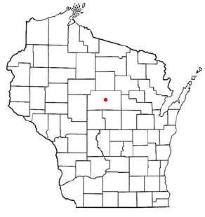
Holton is a town in Marathon County, Wisconsin, United States. It is part of the Wausau, Wisconsin Metropolitan Statistical Area. The population was 873 at the 2010 census.

<span class="mw-page-title-main">Marathon, Wisconsin</span> Town in Wisconsin, United States

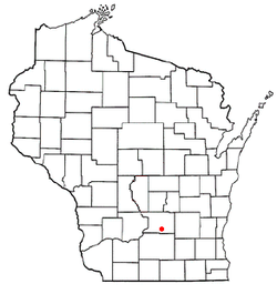
Marathon is a town in Marathon County, Wisconsin, United States. It is part of the Wausau, Wisconsin Metropolitan Statistical Area. The population was 1,048 at the 2010 census. The village of Marathon City was incorporated from a part of the town's original area.

<span class="mw-page-title-main">Norrie, Wisconsin</span> Town in Wisconsin, United States

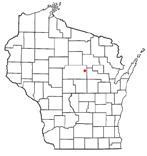
The Town of Norrie is located in Marathon County, Wisconsin, United States. It is part of the Wausau, Wisconsin Metropolitan Statistical Area. The population was 976 at the 2010 census.

<span class="mw-page-title-main">Hazelhurst, Wisconsin</span> Town in Wisconsin, United States

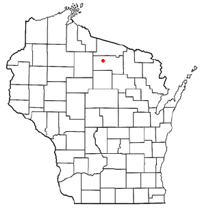
Hazelhurst is a town in Oneida County, Wisconsin, United States. The population was 1,258 at the 2018 census. The unincorporated community of Hazelhurst is located in the town.

<span class="mw-page-title-main">Yorkville, Wisconsin</span> Village in Wisconsin, United States

Yorkville is a town in Racine County, Wisconsin, United States. The population was 3,246 at the 2020 census. The unincorporated communities of Ives Grove, Sylvania, and Yorkville are located in the town.

The town of Spring Valley is located in Rock County, in the U.S. state of Wisconsin. The population was 728 at the 2020 census. The only incorporated municipality in the town is the village of Orfordville.

<span class="mw-page-title-main">Wyocena, Wisconsin</span> Village in Wisconsin, United States

Wyocena is a village in Columbia County, Wisconsin, United States. The population was 768 at the 2010 census. The village is located within the Town of Wyocena. It is part of the Madison Metropolitan Statistical Area.

<span class="mw-page-title-main">Wyocena (town), Wisconsin</span>

Wyocena is a town in Columbia County, Wisconsin, United States. The population was 619 at the 2000 Census. The Village of Wyocena is located within the town.

<span class="mw-page-title-main">Black Earth (town), Wisconsin</span>

The Town of Black Earth is located in Dane County, Wisconsin, United States. The population was 510 at the 2020 census.

<span class="mw-page-title-main">Cross Plains (town), Wisconsin</span> Town in Dane County, Wisconsin

Cross Plains is a town in Dane County, Wisconsin, United States. The population was 1,419 at the 2000 census. The Village of Cross Plains is located partially within the town. The unincorporated community of Pine Bluff is located in the town.

<span class="mw-page-title-main">Dane (town), Wisconsin</span>

Dane is a town in Dane County, Wisconsin, United States. The population was 968 at the 2000 census. The unincorporated community of Lutheran Hill is located partially in the town.

<span class="mw-page-title-main">Oregon (town), Wisconsin</span>

The Town of Oregon is a town in Dane County, Wisconsin, United States. The population was 3,148 at the 2000 census. The village of Oregon is located adjacent to the town and most of its area previously belonged to the town.

Elderon is a town in Marathon County, Wisconsin, United States. It is part of the Wausau, Wisconsin Metropolitan Statistical Area. The population was 606 at the 2010 census. The unincorporated community of Ingersoll is located in the town.

The Town of Weston is located in Marathon County, Wisconsin, United States. It is part of the Wausau, Wisconsin Metropolitan Statistical Area. The population was 657 at the 2020 census.

Plover is a town in Portage County, Wisconsin, United States. As of December 2020 the town reported on its website a population of 1,731.

<span class="mw-page-title-main">Plainfield, Wisconsin</span> Village in Wisconsin, United States

Plainfield is a village in Waushara County, Wisconsin, United States. The village is located almost entirely within the Town of Plainfield. A tiny portion extends into adjacent Town of Oasis. The population was 897 at the 2010 census.

References

  1. 1 2 "US Board on Geographic Names". United States Geological Survey. October 25, 2007. Retrieved January 31, 2008.
  2. 1 2 "U.S. Census website". United States Census Bureau . Retrieved January 31, 2008.

43°18′38″N89°19′28″W / 43.31056°N 89.32444°W / 43.31056; -89.32444