
Toogoolawah is a rural town and locality in the Somerset Region, Queensland, Australia. In the 2016 census, Toogoolawah had a population of 1,279 people.
Hampton is a rural town and locality in the Toowoomba Region, Queensland, Australia. In the 2016 census, Hampton had a population of 356 people.
England Creek is a rural locality split between Somerset Region and City of Brisbane, Queensland, Australia. In the 2016 census England Creek had a population of 33 people.

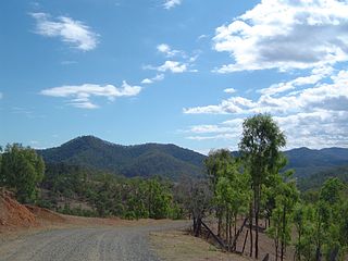
Monsildale is a rural locality in the Somerset Region, Queensland, Australia. In the 2016 census, Monsildale had a population of 21 people.

Evelyn is a rural locality in the Tablelands Region, Queensland, Australia. In the 2016 census Evelyn had a population of 241 people.

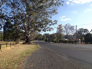
Colinton is a rural locality in the Somerset Region, Queensland, Australia. In the 2016 census Colinton had a population of 75 people.
Redbank Creek is a rural locality in the Somerset Region, Queensland, Australia. In the 2016 census, Redbank Creek had a population of 145 people.

Ravensbourne is a rural locality in the Toowoomba Region, Queensland, Australia. In the 2016 census Ravensbourne had a population of 248 people.
Grapetree is a rural locality in the Toowoomba Region, Queensland, Australia. In the 2016 census Grapetree had a population of 32 people.
Cressbrook is a rural locality in the Somerset Region, Queensland, Australia. In the 2016 census Cressbrook had a population of 117 people.

Royston is a rural locality in the Somerset Region, Queensland, Australia. In the 2016 census, Royston had a population of 336 people.
Coal Creek is a rural locality in the Somerset Region, Queensland, Australia. In the 2016 census Coal Creek had a population of 52 people.
Cooeeimbardi is a rural locality in the Somerset Region, Queensland, Australia. In the 2016 census Cooeeimbardi had a population of 7 people.
Fulham is a rural locality in the Somerset Region, Queensland, Australia. In the 2016 census Fulham had a population of 35 people.
Murrumba is a rural locality in the Somerset Region, Queensland, Australia. In the 2016 census, Murrumba had a population of 16 people.
Pierces Creek is a rural locality in the Toowoomba Region, Queensland, Australia. It was formerly known as Virginia. In the 2016 census, Pierces Creek had a population of 70 people.
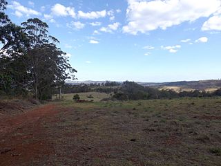
Avoca Vale is a rural locality in the Somerset Region, Queensland, Australia. In the 2016 census, Avoca Vale had a population of 34 people.

Biarra is a rural locality in the Somerset Region, Queensland, Australia. In the 2016 census, Biarra had a population of 257 people.
Scrub Creek is a rural locality in the Somerset Region, Queensland, Australia. In the 2016 census, Scrub Creek had a population of 32 people.
Cressbrook Creek is a rural locality in the Toowoomba Region, Queensland, Australia. In the 2016 census, Cressbrook Creek had a population of 20 people.
