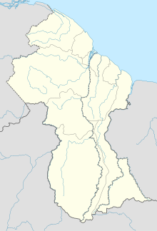
Mahdia is the capital of the Potaro-Siparuni region of Guyana, located near the centre of the country at an altitude of 415 metres (1,362 ft).
Guyana Airways was the flag carrier of Guyana. It was an important link for the Guyanese community as it provided a way into and out of the country. During its operations, Guyana Airways operated services to destinations in the Caribbean, the United States and Canada. The airline was headquartered in Georgetown, Guyana. It was declared insolvent in 2001.

Roraima Airways is a regional airline of Guyana with its main hub at the Eugene F. Correira International Airport. Roraima Airways was founded in 1992.

Kaieteur Airport is an airport serving Kaieteur National Park in the Potaro-Siparuni region of Guyana.

Lethem Airport is an airport serving Lethem, a town in the Upper Takutu-Upper Essequibo region of Guyana.
Linden Airport is an airport serving Linden, the capital of the Upper Demerara-Berbice region of Guyana.
Aishalton Airport is an airport serving the village of Aishalton, in the Upper Takutu-Upper Essequibo Region of Guyana.
Apoteri Airport is an airport serving the village of Apoteri, in the Upper Takutu-Upper Essequibo Region of Guyana.
Baramita Airport is an airport serving the Amerindian village of Baramita, in the Barima-Waini Region of Guyana.
Bartica Airport is an airport serving the town of Bartica, in the Cuyuni-Mazaruni Region of Guyana.
Imbaimadai Airport is an airport serving the village of Imbaimadai, in the Cuyuni-Mazaruni Region of Guyana.
Karanambo Airport is an airport serving the village of Karanambo, in the Upper Takutu-Upper Essequibo Region of Guyana.
Kato Airport is an airport serving the village of Kato, in the Potaro-Siparuni Region of Guyana.
Lumid Pau Airport is an airport serving the village of Lumid Pau, in the Upper Takutu-Upper Essequibo Region of Guyana.
Mountain Point Airport is an airport in the Upper Takutu-Upper Essequibo Region of Guyana. The nearest community is Sand Creek.
Orinduik Airport is an airport serving the mining community of Orinduik in the Potaro-Siparuni Region of Guyana.
Paruima Airport is an airport serving the community of Paruima in the Cuyuni-Mazaruni Region of Guyana.
Ebini Airport is an airport serving the community of Ebini in the Upper Demerara-Berbice Region of Guyana.
Karasabai Airport is an airport serving the Macushi community of Karasabai in the Upper Takutu-Upper Essequibo Region of Guyana.

Kato is an indigenous village in the Potaro-Siparuni Region of Guyana. The village is mainly inhabited by Patamona people. The village is located in the Pacaraima Mountains.


