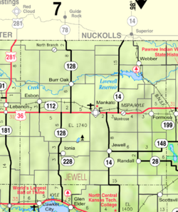
Mankato is a city in and the county seat of Jewell County, Kansas, United States. As of the 2020 census, the population of the city was 836.

Maple City is a unincorporated community in Cowley County, Kansas, United States.

Industry is an unincorporated community in Clay and Dickinson counties in the U.S. state of Kansas. It is located approximately 13 miles north of Abilene.

Lyona is an unincorporated community in Liberty Township, Dickinson County, Kansas, United States. It is located on Wolf Rd approximately 8.7 miles (14.0 km) southwest of Junction City or 12.3 miles (19.8 km) north of Herington, also it is 1.5 miles (2.4 km) west of the Rock Springs 4-H Camp.
North Branch is an unincorporated community in Jewell County, Kansas, United States. It is located 2 miles south of the Nebraska/Kansas state line at the intersection of Cedar Rd and 78 Rd.

Windhorst is an unincorporated community in Ford County, Kansas, United States. It is located along 131 Spur Rd between Iron Rd and Jewell Rd in a rural area between the communities of Bellefont and Bucklin, approximately 6 miles south of Bellefont or 15 miles north of Bucklin.
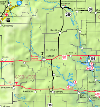
Piedmont is an unincorporated community in Greenwood County, Kansas, United States. As of the 2020 census, the population of the community and nearby areas was 52. It is located approximately 7 miles (11 km) west of the city of Severy.
Rock Creek is an unincorporated community in Rock Creek Township, Jefferson County, Kansas, United States. It lies along 110th Road near its intersection with K-4. K-4 used to run along Rock Creek Road and originally cut through Rock Creek, but years later the highway was widened and rebuilt just east of Rock Creek.

Eldred is an unincorporated community in Barber County, Kansas, United States. It is 7 miles (11 km) northwest of Hardtner.
Ionia is an unincorporated community in Ionia Township, Jewell County, Kansas, United States. As of the 2020 census, the population of the community and nearby areas was 17.
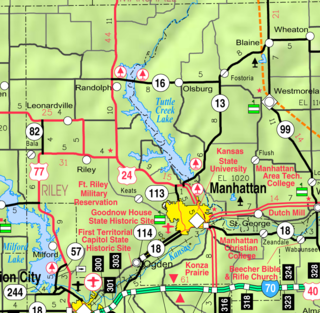
Bala is an unincorporated community in Bala Township, Riley County, Kansas, United States. As of the 2020 census, the population of the community and nearby areas was 29.

Gretna is an unincorporated community in Phillips County, Kansas, United States.
Sherman is an unincorporated community in Cherokee County, Kansas, United States.
Midway is an unincorporated community in Crawford County, Kansas, United States.

Langley is an unincorporated community in Ellsworth County, Kansas, United States. It is located approximately 4 miles (6.4 km) south of Kanopolis Lake.
Venango is an unincorporated community in Ellsworth County, Kansas, United States. It is located on the east bank of the Kanopolis Lake.
Teterville is a ghost town in Greenwood County, Kansas, United States. It is located approximately 11 miles east of Cassoday. No buildings remain of this former community.
Half Mound is an unincorporated community in Jefferson County, Kansas, United States.
Otego is an unincorporated community in Jewell County, Kansas, United States.
Calista is an unincorporated community in Kingman County, Kansas, United States. It was named from the Greek Callista, meaning "most beautiful".