Montgomery County is located in the State of Alabama. As of the 2020 census, its population was 228,954, making it the fifth-most populous county in Alabama. Its county seat is Montgomery, the state capital. Montgomery County is included in the Montgomery, AL Metropolitan Statistical Area.
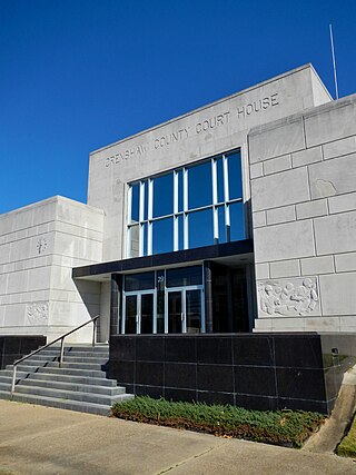
Crenshaw County is a county located in the south central portion of the U.S. state of Alabama. It is located immediately south of the Montgomery metropolitan area. As of the 2020 census, the population was 13,194. Its county seat is Luverne. Its name is in honor of an Alabama judge, Anderson Crenshaw.

Pike County is located in the U.S. state of Alabama. As of the 2020 census the population was 33,009. Its county seat is Troy. Its name is in honor of General Zebulon Pike, of New Jersey, an explorer who led an expedition to southern Colorado and discovered Pikes Peak in 1806.

Brantley is a city in Crenshaw County, Alabama, United States. At the 2020 census, the population was 825. Brantley was incorporated in 1891 as a city.

Dozier is a town in Crenshaw County, Alabama, United States. At the 2020 census, the population was 285. Dozier was incorporated in 1907.
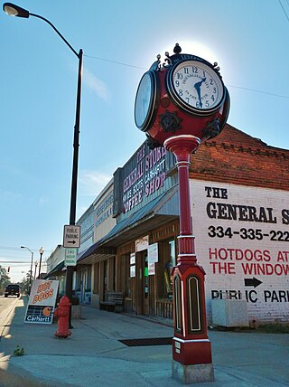
Luverne is a city in and the county seat of Crenshaw County, Alabama, United States. The city describes itself as "The Friendliest City in the South", a slogan that appears on its "welcome" signs. At the 2020 census, the population was 2,765.

Rutledge is a town in Crenshaw County, Alabama, United States. As of the 2010 census, the population of the town was 467.
Mulberry is the common name of several trees in the genus Morus. See the list of plants known as mulberry for plants with similar names.

Mac Crenshaw Memorial Airport is a city-owned public-use airport located 2 nautical miles (4 km) northeast of the central business district of Greenville, a city in Butler County, Alabama, United States.

The 2000 United States presidential election in Alabama took place on November 7, 2000, and was part of the 2000 United States presidential election. Voters chose 9 representatives, or electors to the Electoral College, who voted for president and vice president.
Panola is an unincorporated community in Crenshaw County, Alabama, United States, located 11 miles (18 km) east of Fort Deposit.

The 1996 United States presidential election in Alabama took place on November 5, 1996, as part of the 1996 United States presidential election. Voters chose nine representatives, or electors to the Electoral College, who voted for president and vice president.

Highland Home is an unincorporated community in Crenshaw County, Alabama, United States. Highland Home is located on U.S. Route 331, 16.6 miles (26.7 km) north of Luverne. Highland Home has a post office with ZIP code 36041, which opened on July 15, 1837. Located mostly on highway 331 that also runs to Luverne, Alabama.
Theba is an unincorporated community in Crenshaw County, Alabama, United States. Theba is located on U.S. Route 29, 3.3 miles (5.3 km) southwest of Brantley.
Fullers Crossroads is an unincorporated community in Crenshaw County, Alabama, United States.
Weed Crossroad, also known as Weed or Weedville, is an unincorporated community in Crenshaw County, Alabama, United States. It is located on Alabama State Route 141, 5.1 miles (8.2 km) south-southeast of Brantley.
Mulberry is an unincorporated community in Autauga County, Alabama, United States.
Mulberry is an unincorporated community in Chilton County, Alabama, United States.
Moodys Crossroads is an unincorporated community in Crenshaw County, Alabama, United States.