Autauga County is a county located in the central portion of the U.S. state of Alabama. As of the 2020 census the population was 58,805. Its county seat is Prattville.

Talladega County is one of the sixty-seven counties located in the east central portion of the U.S. state of Alabama. As of the 2020 census, the population was 82,149. Its county seat is Talladega.

Muscogee County is a county located on the central western border of the U.S. state of Georgia named after the Muscogee that originally inhabited the land with its western border with the state of Alabama that is formed by the Chattahoochee River. As of the 2020 census, the population was 206,922. Its county seat and only city is Columbus, with which it has been a consolidated city-county since the beginning of 1971.

Chattahoochee County, also known as Cusseta-Chattahoochee County, is a county located on the western border in central Georgia. As of the 2020 census, the population was 9,565. The county seat is Cusseta, with which the county shares a consolidated city-county government. The city of Cusseta remains a geographically distinct municipality within Chattahoochee County. The county was created on February 13, 1854.

Ohatchee is a town in Calhoun County, Alabama, United States. At the 2020 census, the population was 1,157. It is included in the Anniston–Oxford, Alabama Metropolitan Statistical Area.

Piedmont is a city in Calhoun and Cherokee counties in the U.S. state of Alabama. The population was 4,400 at the 2020 census. It is included in the Anniston-Oxford, Alabama Metropolitan Statistical Area.

Elba is a city in and the county seat of Coffee County, Alabama, United States. It is the official seat, although there are two county courthouses, with the other one being located in the town of Enterprise. At the time of the 2010 U.S. census, Elba's population was 3,940. Elba is part of the Enterprise micropolitan statistical area.

Hodges is a town in Franklin County, Alabama, United States. At the 2020 census, the population was 265. Hodges was laid out in 1902. It was incorporated in 1913.

Vina is a town in Franklin County, Alabama, United States. At the 2010 census the population was 358, down from 400 in 2000.

Anderson is a town in Lauderdale County, Alabama, United States. It is part of the Florence - Muscle Shoals Metropolitan Statistical Area known as "The Shoals". As of the 2010 U.S. Census, the town had a population of 282, down from 354 in 2000.

Courtland is a town in Lawrence County, Alabama, United States, and is included in the Decatur Metropolitan Area, as well as the Huntsville-Decatur Combined Statistical Area. The population was 609 at the 2010 census, down from 769 in 2000.
Town Creek is a town in Lawrence County, Alabama, United States, and is included in the Decatur Metropolitan Area, as well as the Huntsville-Decatur Combined Statistical Area. It incorporated in March 1875. As of the 2010 census, the population of the town is 1100, down from 1216 in 2000. Since 1920, it has been the second largest town in Lawrence County after Moulton.

Sweet Water is a town in Marengo County, Alabama, United States. It was founded during the 1840s and named for Sweet Water Creek, which runs through a section of the community. The population was 228 at the 2020 census, down from 258 at the 2010 census.

Hartwell is a city in Hart County, Georgia, United States. The population was 4,469 at the 2010 census. The city is the county seat of Hart County.

Choccolocco is an unincorporated community and census-designated place in Calhoun County, Alabama, United States. As of the 2010 census, its population was 2,804. It was founded in 1832.
Cusseta is a town in Chambers County, Alabama, United States. Situated between Opelika and Lanett, it was named for the ancient Creek Indian town of Cusseta. As of the 2010 census, its population was 123.

Nanafalia is an unincorporated community and census-designated place (CDP) in Marengo County, Alabama, United States. As of the 2020 census, its population was 75, down from 94 at the 2010 census. The community is located on a ridge above the Tombigbee River, and the name is derived from the Choctaw words for long hill. Nanafalia has a post office with a zip code of 36764.
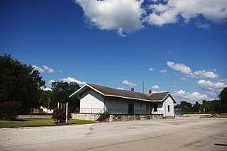
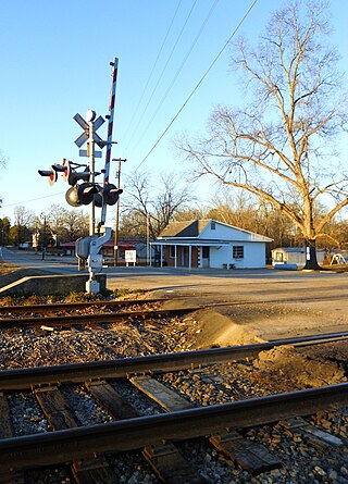
Fayetteville is a census-designated place and unincorporated community in Talladega County, Alabama, United States. Its population was 1,284 as of the 2010 census.

Shelby is a census-designated place and unincorporated community in Shelby County, Alabama, United States. Its population was 1,044 as of the 2010 census. The area is near Lay Lake and Waxahatchee Creek. Shelby Iron Park is located at the heart of the area. Two sites in Shelby, The Brick House and the Old Shelby Hotel, are listed on the Alabama Register of Landmarks and Heritage.

Shoal Creek is a private, gated/guarded residential community in Shelby County, Alabama, United States. Its population was 274 as of the 2010 census. The population is constantly fluctuating. The community has many features to provide its residents. Shoal Creek Golf and Country Club is located in Shoal Creek. Home of the 2018 U.S. Women's Open Golf Championship. It is a part of the Birmingham, Alabama metropolitan area, approximately 15 miles (24 km) southeast of downtown Birmingham.